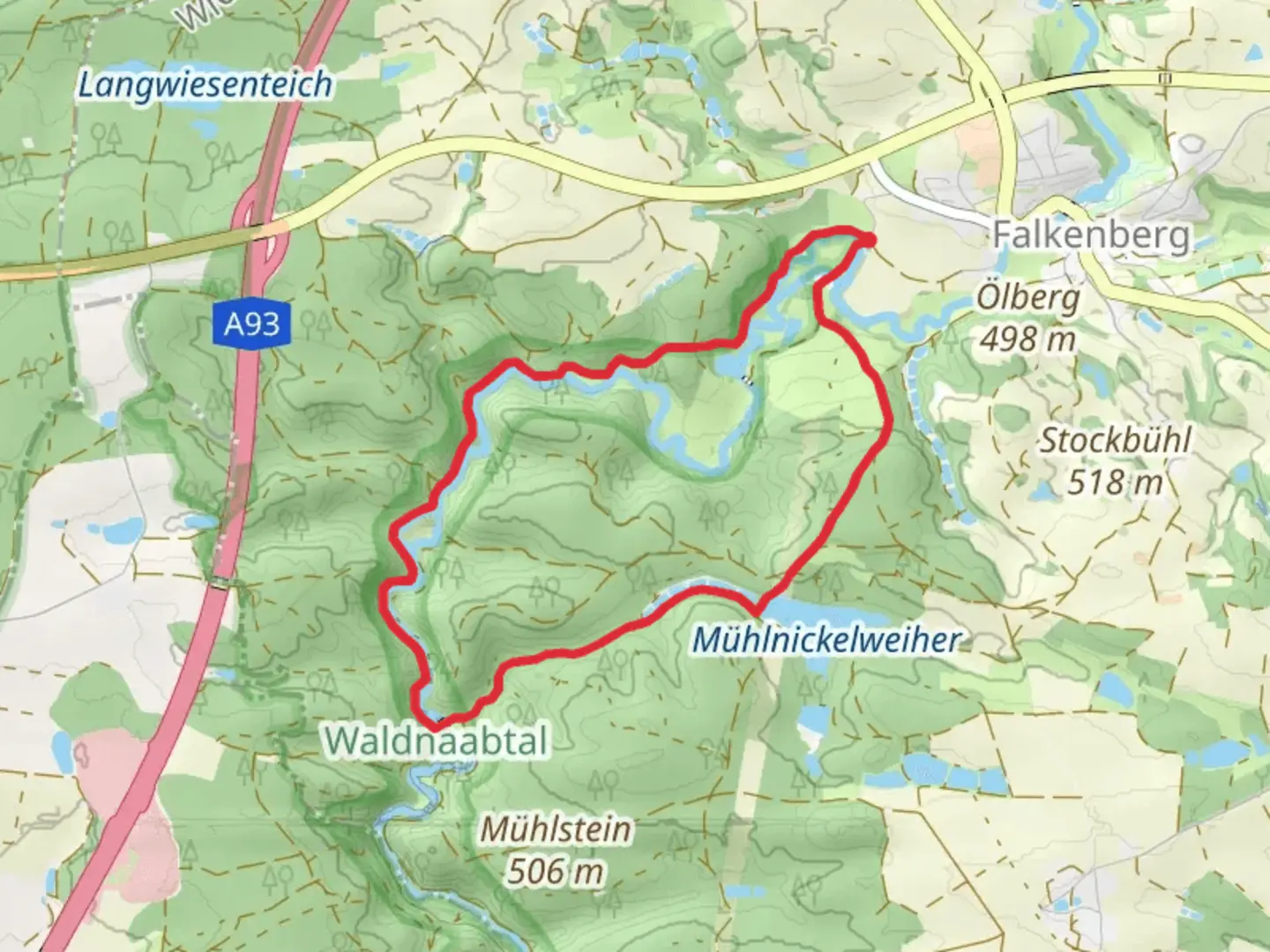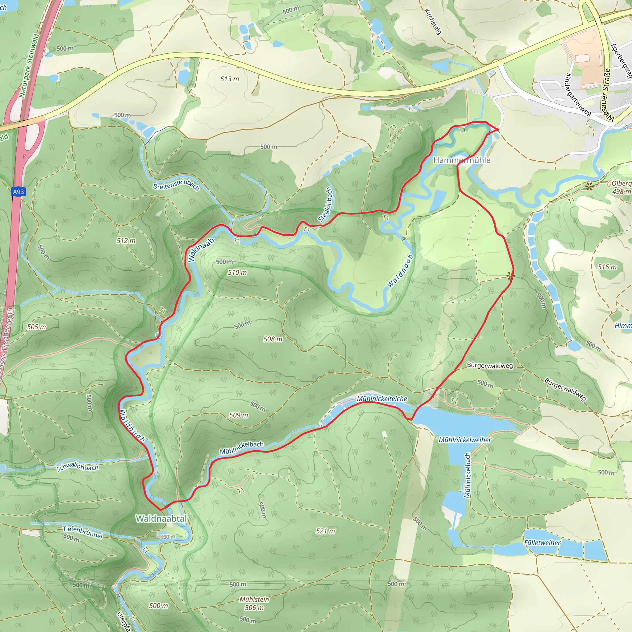
Kammerwagen, Amboss, Mühlnickelbach and Mühlnickelweiher Loop via Burgenweg
Download
Preview
Add to list
More
7.0 km
~1 hrs 44 min
204 m
Loop
“This 7 km loop near Tirschenreuth offers scenic beauty, wildlife, and historical landmarks for moderate hikers.”
Starting near the charming town of Tirschenreuth in Germany, this 7 km (approximately 4.35 miles) loop trail offers a delightful mix of natural beauty and historical intrigue. With an elevation gain of around 200 meters (656 feet), the trail is rated as medium difficulty, making it suitable for moderately experienced hikers.
Getting There To reach the trailhead, you can either drive or use public transport. If driving, set your GPS to Tirschenreuth, and you will find ample parking options near the start of the trail. For those using public transport, the nearest significant landmark is the Tirschenreuth train station. From there, local buses or a short taxi ride can take you to the trailhead.
Trail Highlights
#### Kammerwagen Starting off, the trail takes you through the Kammerwagen area, a serene section characterized by dense forests and well-maintained paths. This part of the trail is relatively flat, making it a good warm-up for the more challenging sections ahead. Keep an eye out for local wildlife such as deer and various bird species that inhabit this area.
#### Amboss As you continue, you will reach the Amboss section, where the trail begins to ascend. This part of the hike offers stunning views of the surrounding landscape. The elevation gain here is gradual but noticeable, so take your time and enjoy the scenery. The Amboss area is also known for its unique rock formations, which are a result of ancient geological processes.
#### Mühlnickelbach and Mühlnickelweiher Next, the trail leads you to the Mühlnickelbach stream and the picturesque Mühlnickelweiher pond. This section is particularly scenic, with the sound of flowing water adding to the tranquil atmosphere. The pond is a great spot for a short break, and you might even spot some local fish or amphibians.
Historical Significance The trail also intersects with the Burgenweg, a historic route that connects several medieval castles and ruins in the region. This adds a layer of historical significance to your hike, as you can explore remnants of ancient fortifications and imagine the lives of those who once inhabited these lands.
Navigation For navigation, it is highly recommended to use the HiiKER app, which provides detailed maps and real-time updates to ensure you stay on the right path. The trail is well-marked, but having a reliable navigation tool can enhance your hiking experience.
Final Stretch The final stretch of the loop brings you back towards Tirschenreuth, descending gradually and offering more beautiful views of the Bavarian countryside. This part of the trail is less strenuous, allowing you to cool down and reflect on the diverse landscapes and historical sites you’ve encountered.
This 7 km loop near Tirschenreuth is a rewarding hike that combines natural beauty, wildlife, and historical landmarks, making it a must-visit for any hiking enthusiast.
What to expect?
Activity types
Comments and Reviews
User comments, reviews and discussions about the Kammerwagen, Amboss, Mühlnickelbach and Mühlnickelweiher Loop via Burgenweg, Germany.
4.5
average rating out of 5
2 rating(s)
