Download
Preview
Add to list
More
12.0 km
~2 hrs 47 min
237 m
Loop
“The Birkenbuhl and Grober Teichlberg Loop offers moderate hikers scenic vistas, historical intrigue, and varied landscapes.”
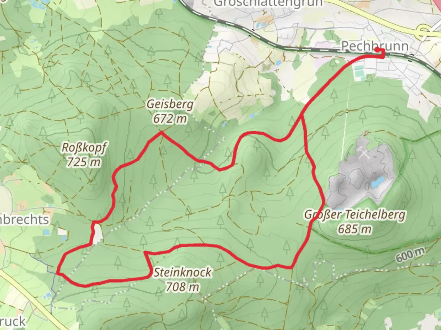
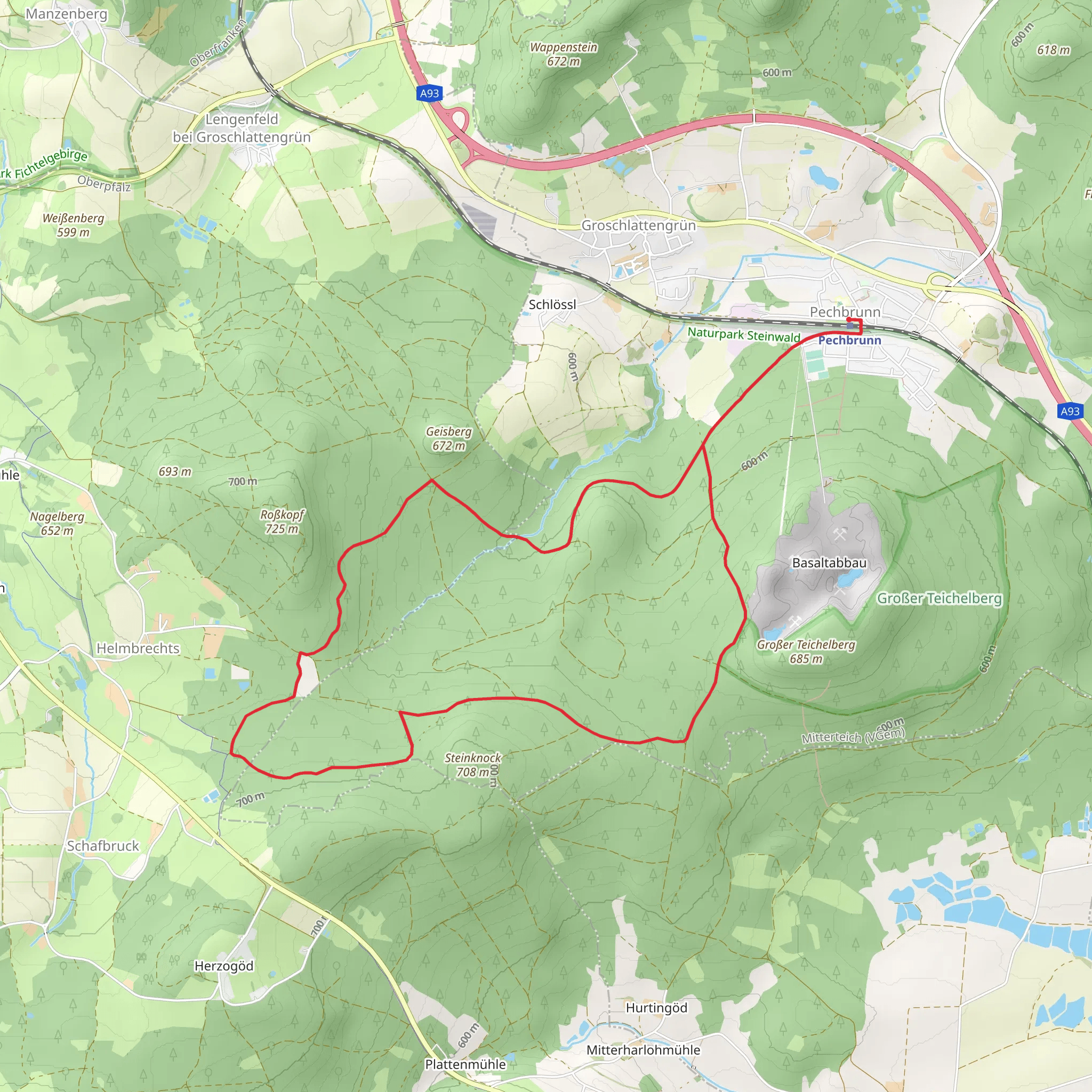
Starting near the charming town of Tirschenreuth in Germany, the Birkenbuhl and Grober Teichlberg Loop is a delightful 12 km (7.5 miles) loop trail with an elevation gain of approximately 200 meters (656 feet). This trail is rated as medium difficulty, making it suitable for moderately experienced hikers.
Getting There
To reach the trailhead, you can either drive or use public transport. If you're driving, set your GPS to Tirschenreuth, and you'll find ample parking options near the town center. For those using public transport, Tirschenreuth is accessible via regional trains and buses. The nearest significant landmark to the trailhead is the Tirschenreuth town center, which is well-connected by local bus services.
Trail Overview
The trail begins just outside Tirschenreuth, leading you through a mix of dense forests, open meadows, and gently rolling hills. The initial part of the trail is relatively flat, allowing you to ease into the hike. As you progress, the path starts to ascend gradually, offering panoramic views of the surrounding countryside.
Key Landmarks and Points of Interest
#### Birkenbuhl
Around the 4 km (2.5 miles) mark, you'll reach Birkenbuhl, a small hill that provides a fantastic vantage point. Here, you can take a short break and enjoy the scenic views of the Bavarian landscape. The area is known for its birch trees, which add a unique charm to the surroundings.
#### Grober Teichlberg
Continuing on, you'll approach Grober Teichlberg at approximately 8 km (5 miles) into the hike. This section involves a bit more climbing, but the effort is well worth it. Grober Teichlberg is the highest point on the trail, offering stunning vistas and a perfect spot for a picnic. The hill is also home to a variety of wildlife, including deer and various bird species, so keep your eyes peeled.
Historical Significance
The region around Tirschenreuth has a rich history dating back to medieval times. The town itself was founded in the 12th century and has been a significant center for trade and culture in the region. As you hike, you'll come across several historical markers and old stone structures that hint at the area's past. One notable site is the remnants of an old watchtower near Grober Teichlberg, which was used to guard the trade routes in ancient times.
Navigation and Safety
Given the moderate difficulty of the trail, it's advisable to use a reliable navigation tool like HiiKER to keep track of your progress and ensure you stay on the right path. The trail is well-marked, but having a digital map can be incredibly useful, especially in the more forested sections where the path can become less obvious.
Flora and Fauna
The trail is a haven for nature enthusiasts. You'll encounter a diverse range of flora, including oak, pine, and birch trees. The meadows are often dotted with wildflowers, especially in the spring and summer months. Wildlife is abundant, with frequent sightings of deer, foxes, and a variety of bird species. If you're lucky, you might even spot a rare European wildcat.
Final Stretch
The last 2 km (1.2 miles) of the trail are a gentle descent back towards Tirschenreuth. This section is particularly scenic, with the path winding through open fields and small patches of woodland. As you approach the town, you'll pass by several small ponds and streams, adding a tranquil end to your hike.
This loop trail offers a perfect blend of natural beauty, moderate physical challenge, and historical intrigue, making it a must-visit for hikers in the region.
What to expect?
Activity types
Comments and Reviews
User comments, reviews and discussions about the Birkenbuhl and Grober Teichlberg Loop, Germany.
4.67
average rating out of 5
3 rating(s)
