Download
Preview
Add to list
More
10.3 km
~2 hrs 4 min
13 m
Point-to-Point
“Explore a scenic, historic 10-km trail from Teltow to Lichterfelde with diverse landscapes and wildlife.”
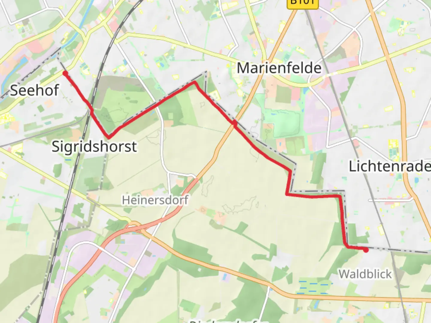
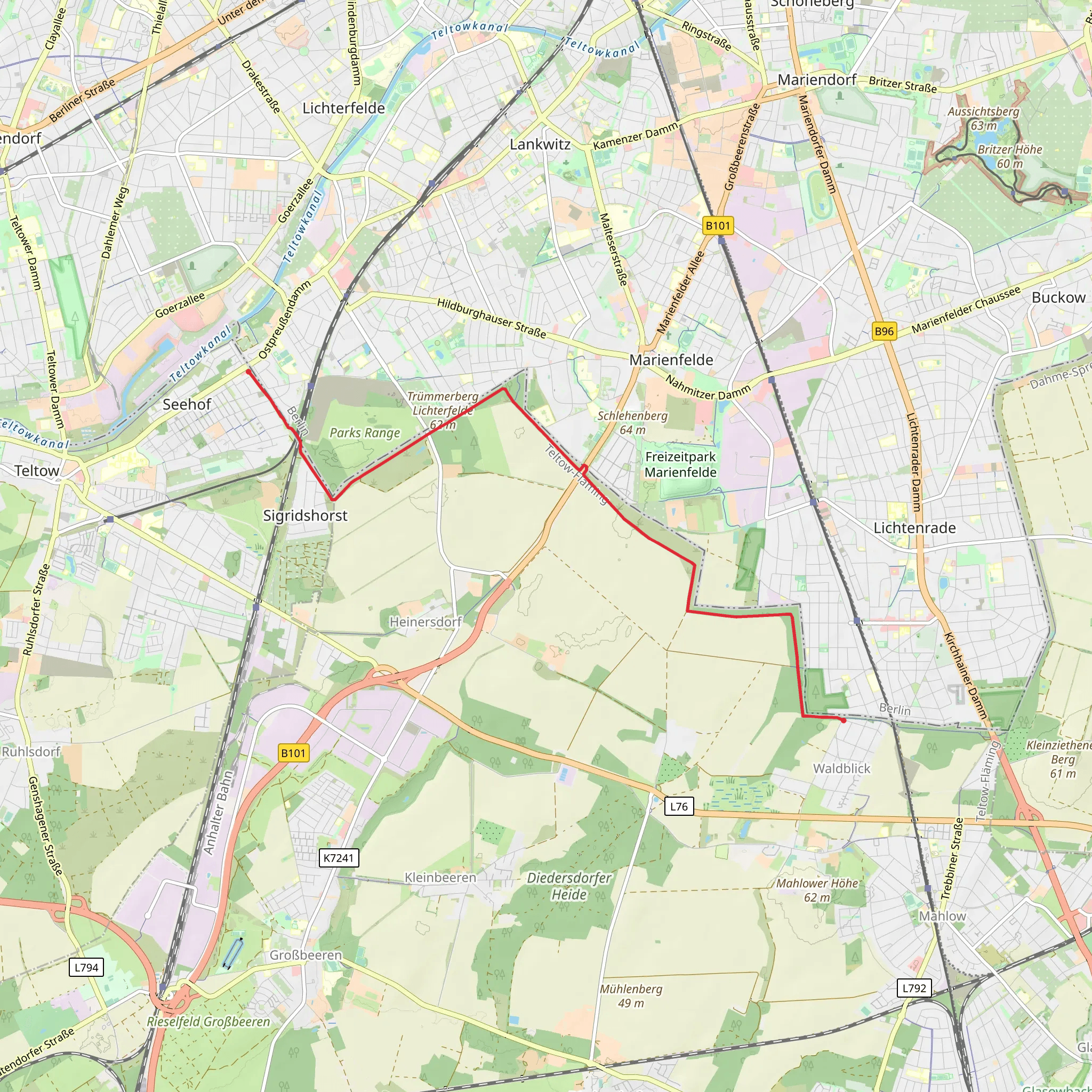
Starting near Teltow-Fläming, Germany, the trail from Waldblick to Lichterfelde Sued via Teltower Doerferweg spans approximately 10 kilometers (6.2 miles) with no significant elevation gain, making it a relatively flat and accessible hike. This point-to-point trail is estimated to be of medium difficulty, suitable for hikers with some experience.
Getting There To reach the trailhead, you can use public transport or drive. If you opt for public transport, take the S-Bahn to Teltow Stadt station, which is the nearest significant landmark. From there, it's a short walk to the starting point. If driving, you can park near the Teltow Stadt station or in nearby residential areas.
Trail Highlights and Landmarks As you embark on this journey, you'll traverse through a mix of urban and rural landscapes, offering a unique blend of natural beauty and historical significance. The trail begins near the Teltow Canal, a significant waterway that played a crucial role in the region's industrial development.
#### Teltow Canal Approximately 2 kilometers (1.2 miles) into the hike, you'll encounter the Teltow Canal. This canal, constructed in the early 20th century, was pivotal for transportation and trade in the region. Today, it serves as a serene backdrop for the initial part of your hike, with opportunities to spot waterfowl and other aquatic wildlife.
#### Kleinmachnow Lock Around the 4-kilometer (2.5-mile) mark, you'll come across the Kleinmachnow Lock, an engineering marvel that dates back to the early 1900s. This lock system is still operational and offers a fascinating glimpse into the area's industrial past. It's a great spot to take a break and observe the lock in action.
Nature and Wildlife As you continue, the trail meanders through lush forests and open fields, providing ample opportunities to observe local flora and fauna. Keep an eye out for deer, foxes, and a variety of bird species that inhabit the area. The diverse ecosystems along the trail make it a haven for nature enthusiasts.
#### Teltower Platte At approximately 7 kilometers (4.3 miles), you'll reach the Teltower Platte, a flat, open area that offers panoramic views of the surrounding countryside. This section is particularly beautiful in the spring and summer months when wildflowers are in full bloom.
Historical Significance The region is steeped in history, with remnants of old villages and agricultural practices visible along the way. The Teltower Doerferweg itself is a historic route that connects several small villages, each with its own unique charm and story.
Navigation For navigation, it's highly recommended to use the HiiKER app, which provides detailed maps and real-time updates to ensure you stay on the right path. The trail is well-marked, but having a reliable navigation tool can enhance your hiking experience.
Final Stretch As you approach the end of the trail near Lichterfelde Sued, you'll transition back into a more urban environment. The final stretch offers a pleasant walk through residential areas, leading you to the Lichterfelde Sued S-Bahn station, where you can easily catch a train back to your starting point or onward to other destinations.
This trail offers a perfect blend of natural beauty, historical landmarks, and easy accessibility, making it a rewarding experience for hikers of all levels.
What to expect?
Activity types
Comments and Reviews
User comments, reviews and discussions about the Waldblick to Lichterfelde Sued via Teltower Doerferweg, Germany.
5.0
average rating out of 5
2 rating(s)
