Download
Preview
Add to list
More
12.3 km
~3 hrs 29 min
617 m
Loop
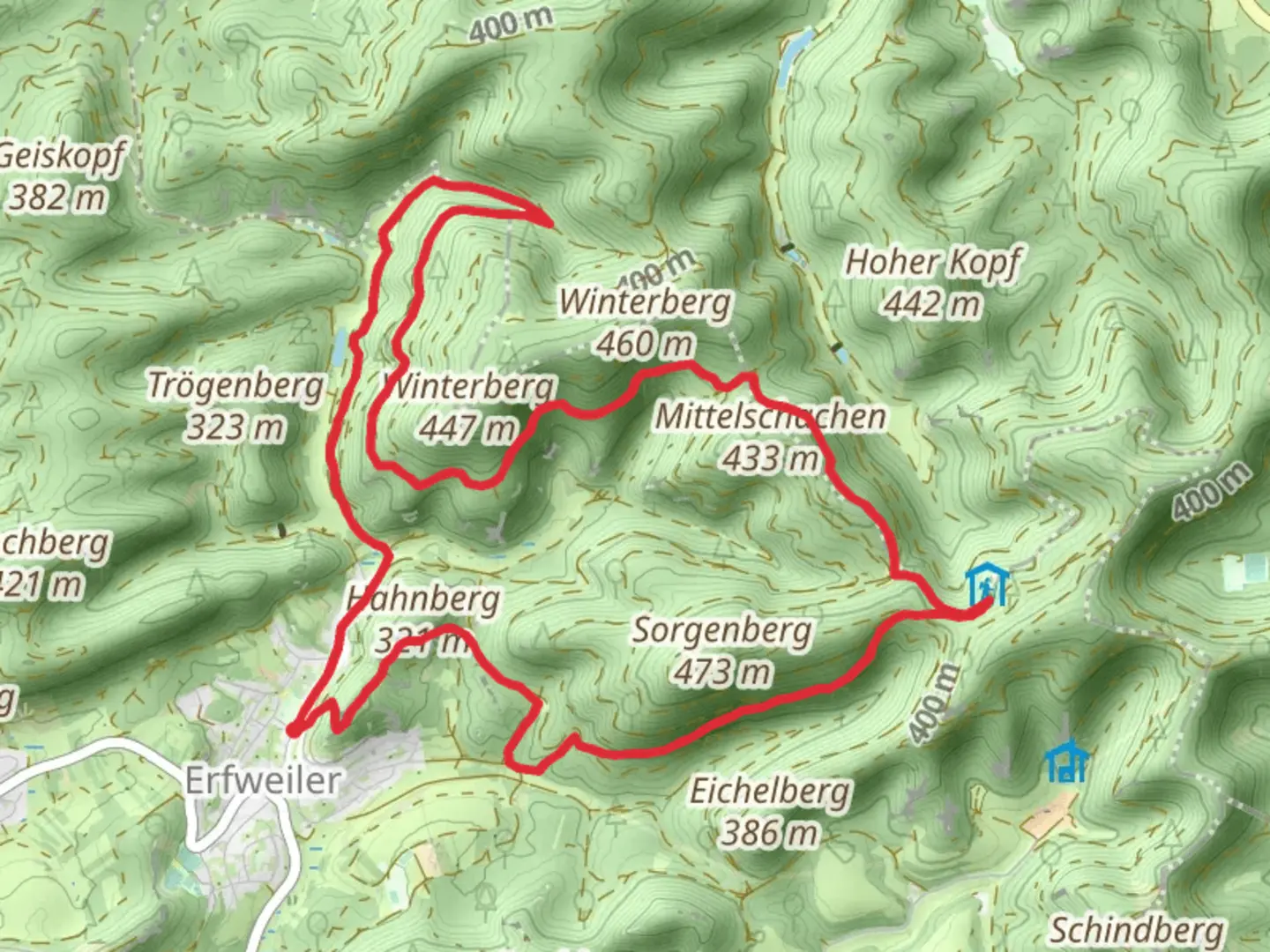
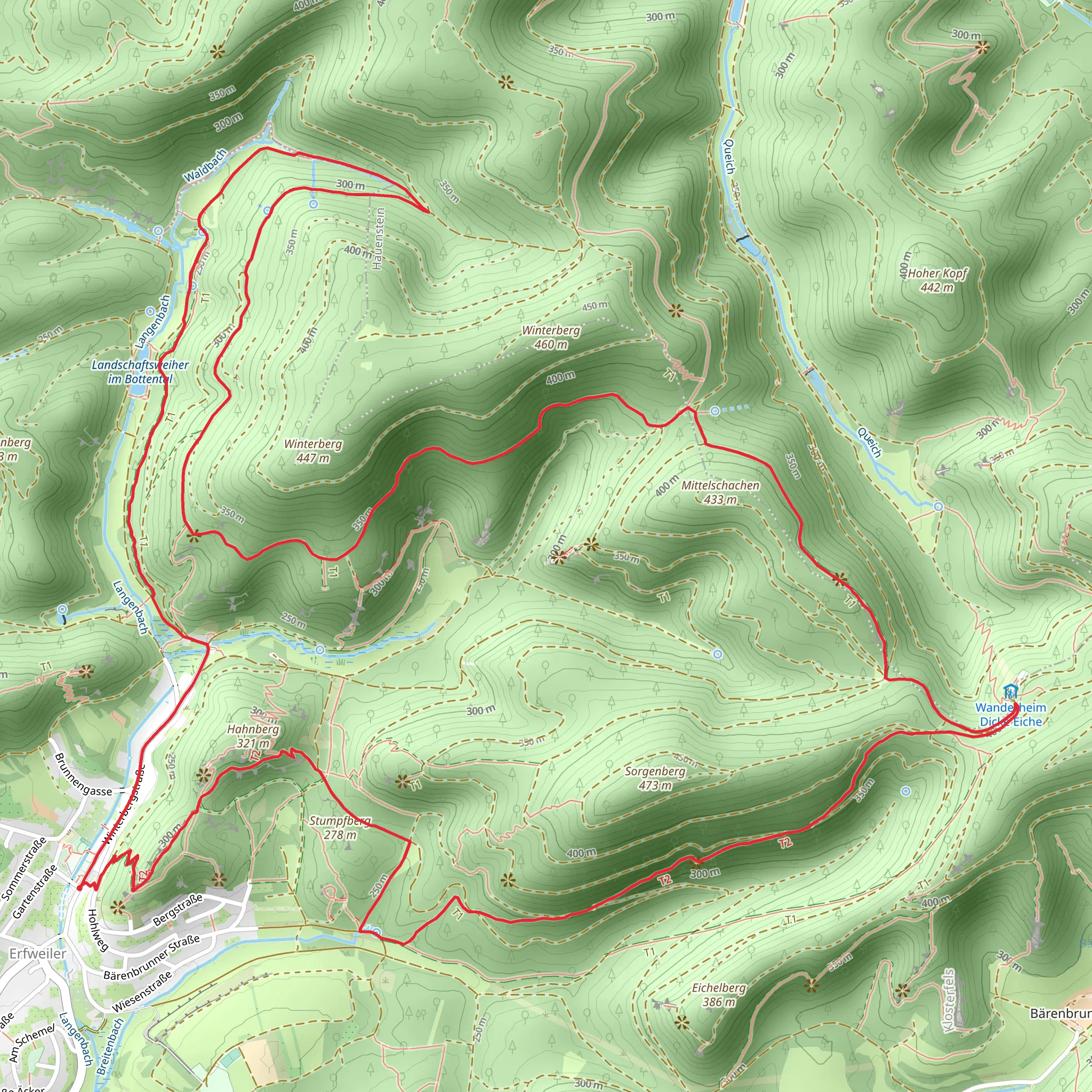
“Embark on a 12 km scenic loop from Erfweiler, exploring lush forests, historic ruins, and panoramic vistas.”
Starting your adventure near the picturesque village of Erfweiler in the Südwestpfalz region of Germany, this loop trail spans approximately 12 kilometers (7.5 miles) with an elevation gain of around 600 meters (1,970 feet). The trailhead is conveniently located near the village, making it accessible by both car and public transport. If you're driving, you can park near the village center. For those using public transport, the nearest significant landmark is the Erfweiler bus stop, which is well-connected to the surrounding towns.
Trail Navigation and Terrain
The Rundwanderweg Erfweiler 56 and 65 is a moderately challenging hike, suitable for those with a reasonable level of fitness. The trail is well-marked, but it's always a good idea to have a reliable navigation tool like HiiKER to ensure you stay on track. The terrain varies from forest paths to rocky sections, so sturdy hiking boots are recommended.
Key Landmarks and Points of Interest
As you embark on this loop trail, you'll be greeted by the lush greenery of the Palatinate Forest, one of the largest contiguous forests in Germany. The trail meanders through dense woodlands, offering a serene and immersive nature experience.
#### Historical Significance
One of the highlights of this trail is the Drachenfels Castle ruins, located approximately 4 kilometers (2.5 miles) into the hike. This medieval castle, perched on a rocky outcrop, dates back to the 12th century and offers a glimpse into the region's rich history. The panoramic views from the castle ruins are breathtaking, providing a perfect spot for a rest and some photography.
Flora and Fauna
The Palatinate Forest is home to a diverse range of flora and fauna. As you hike, keep an eye out for the region's characteristic sandstone formations and the vibrant mix of deciduous and coniferous trees. Wildlife enthusiasts might spot deer, wild boar, and a variety of bird species, including the majestic black woodpecker.
Elevation and Scenic Views
The trail's elevation gain of 600 meters (1,970 feet) is spread out over the 12 kilometers (7.5 miles), with several ascents and descents. One of the most rewarding climbs is to the summit of the Rehberg, the highest point on the trail at around 576 meters (1,890 feet) above sea level. From here, you'll be treated to sweeping views of the surrounding forest and the distant Vosges Mountains in France.
Practical Information
Ensure you carry enough water and snacks, as there are limited facilities along the trail. The hike can take anywhere from 4 to 6 hours, depending on your pace and how often you stop to take in the sights. Weather in the Palatinate Forest can be unpredictable, so pack layers and be prepared for sudden changes.
Getting There
To reach the trailhead, you can drive to Erfweiler and park near the village center. If you're using public transport, take a train to the nearest major town, Pirmasens, and then a bus to Erfweiler. The bus stop is conveniently located near the start of the trail, making it easy to begin your hike.
This trail offers a perfect blend of natural beauty, historical intrigue, and physical challenge, making it a must-visit for any hiking enthusiast exploring the Südwestpfalz region.
Comments and Reviews
User comments, reviews and discussions about the Rundwanderweg Erfweiler 56 and 65, Germany.
5.0
average rating out of 5
1 rating(s)
