Download
Preview
Add to list
More
3.6 km
~59 min
165 m
Loop
“Explore the Maßweilerer Keltenpfad Loop for lush landscapes, ancient Celtic sites, and panoramic vistas.”
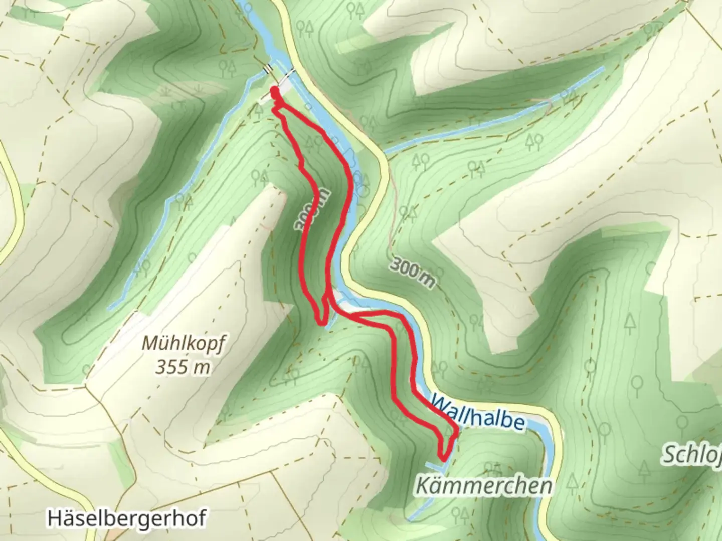
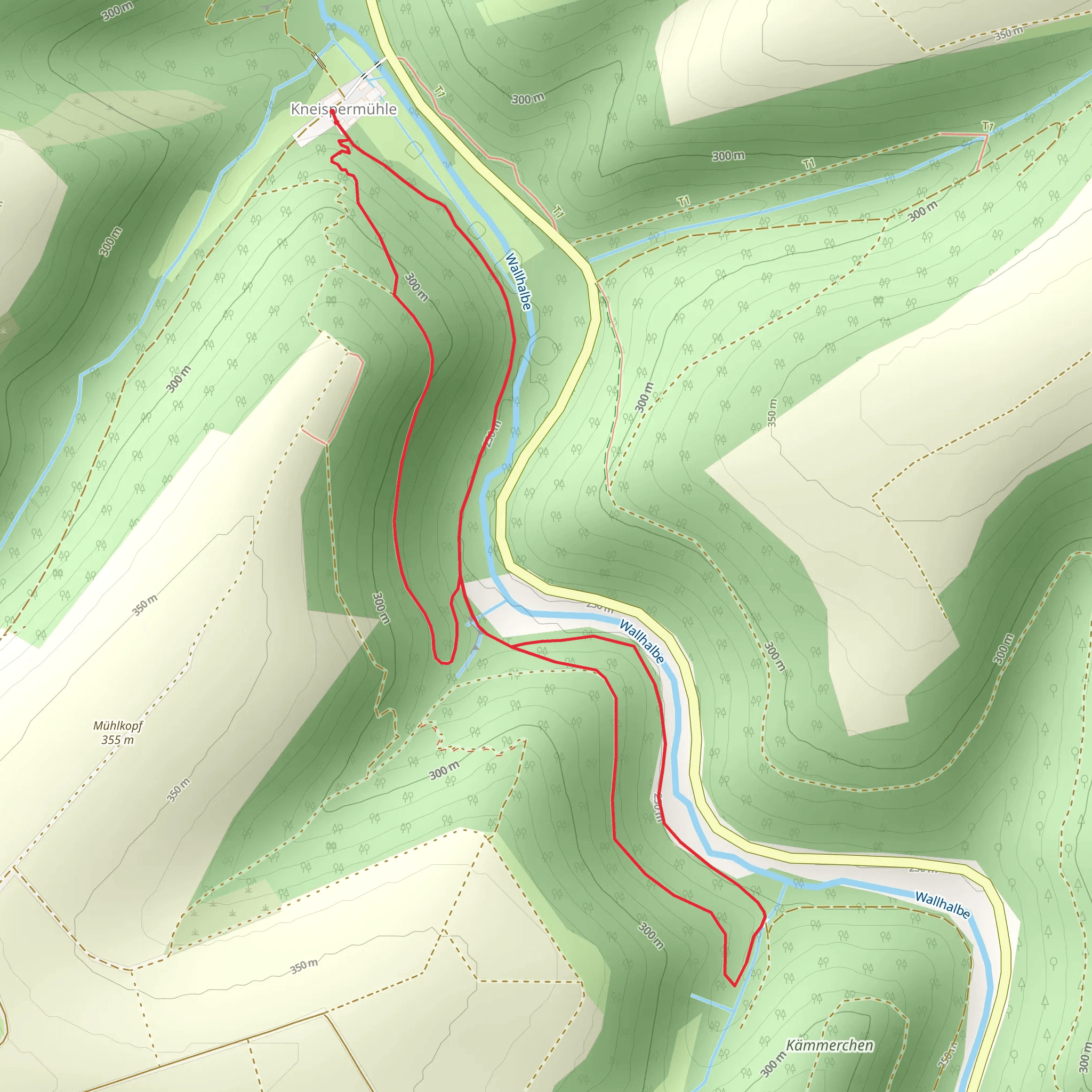
Starting near the charming village of Maßweiler in the Südwestpfalz region of Germany, this 4 km (approximately 2.5 miles) loop trail offers a delightful mix of natural beauty and historical intrigue. With an elevation gain of around 100 meters (328 feet), the Maßweilerer Keltenpfad Loop is rated as medium difficulty, making it accessible for most hikers with a moderate level of fitness.
Getting There To reach the trailhead, you can drive to Maßweiler, where parking is available near the village center. If you prefer public transport, take a train to the nearest major station in Pirmasens, and from there, a local bus will take you to Maßweiler. The bus stop is conveniently located near the trailhead, making it easy to start your hike.
Trail Highlights The trail begins near the village and quickly immerses you in the serene beauty of the Südwestpfalz countryside. As you set off, you'll traverse through lush forests and open meadows, offering a variety of landscapes to enjoy.
#### Historical Significance One of the most captivating aspects of this trail is its historical significance. The name "Keltenpfad" translates to "Celtic Path," and as you hike, you'll encounter several sites that hark back to the ancient Celtic tribes that once inhabited this region. Look out for the information boards along the trail that provide fascinating insights into the lives and customs of these early settlers.
Nature and Wildlife The Maßweilerer Keltenpfad Loop is a haven for nature enthusiasts. The trail meanders through dense woodlands where you might spot deer, foxes, and a variety of bird species. In the spring and summer months, the meadows burst into color with wildflowers, attracting butterflies and bees. The forested sections offer a cool respite on warmer days, with towering trees providing ample shade.
Key Landmarks - **Celtic Burial Mounds:** Approximately 1.5 km (0.9 miles) into the hike, you'll come across ancient burial mounds. These mounds are believed to be over 2,000 years old and offer a tangible connection to the region's distant past. - **Scenic Overlook:** At around the 3 km (1.8 miles) mark, the trail ascends to a scenic overlook. Here, you can take a break and enjoy panoramic views of the surrounding countryside. This spot is particularly stunning in the early morning or late afternoon when the light casts a golden hue over the landscape.
Navigation While the trail is well-marked, it's always a good idea to have a reliable navigation tool. The HiiKER app is highly recommended for this purpose, providing detailed maps and real-time updates to ensure you stay on track.
Final Stretch As you complete the loop, the trail gently descends back towards Maßweiler. The final kilometer (0.6 miles) takes you through a picturesque section of forest before emerging near the village, where you can reflect on your journey and perhaps enjoy a meal at one of the local eateries.
This trail offers a perfect blend of natural beauty, historical depth, and manageable challenge, making it a rewarding experience for any hiker.
What to expect?
Activity types
Comments and Reviews
User comments, reviews and discussions about the Maßweilerer Keltenpfad Loop, Germany.
5.0
average rating out of 5
1 rating(s)
