Download
Preview
Add to list
More
9.7 km
~2 hrs 29 min
330 m
Loop
“Embark on the Lemberger Rothenberg Weg for a 10 km hike rich in history, nature, and breathtaking views.”
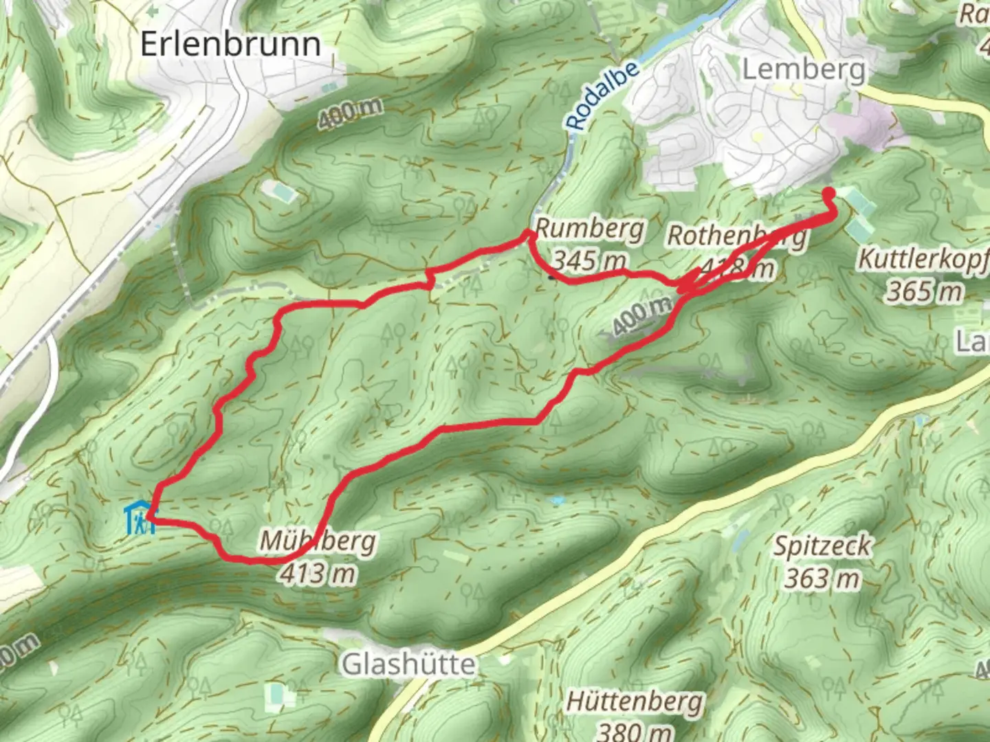
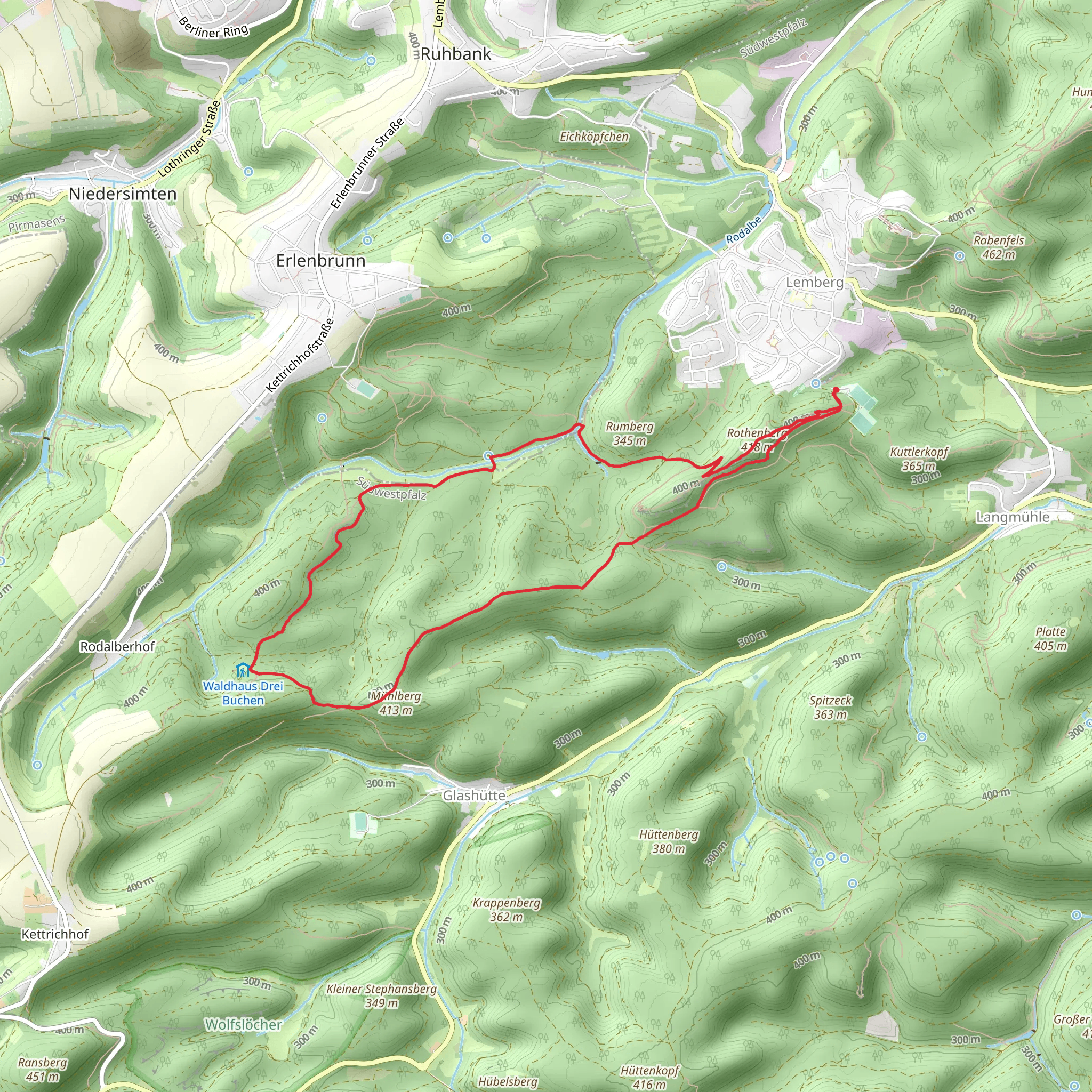
Starting near the charming region of Südwestpfalz, Germany, the Lemberger Rothenberg Weg is a captivating loop trail that spans approximately 10 km (6.2 miles) with an elevation gain of around 300 meters (984 feet). This trail is rated as medium difficulty, making it suitable for moderately experienced hikers looking for a rewarding adventure.
Getting There To reach the trailhead, you can either drive or use public transportation. If you're driving, set your GPS to Lemberg, a small town in the Südwestpfalz district. There are parking facilities available near the trailhead. For those relying on public transport, take a train to Pirmasens Nord station, and from there, a local bus will take you to Lemberg. The bus stop is conveniently located near the start of the trail.
Trail Navigation For navigation, it's highly recommended to use HiiKER, which provides detailed maps and real-time updates to ensure you stay on track throughout your hike.
Trail Highlights The trail begins with a gentle ascent through dense forests, where you'll be greeted by the serene sounds of nature. As you progress, the path becomes steeper, leading you to the first significant landmark, the Lemberg Castle ruins, approximately 3 km (1.9 miles) into the hike. This medieval castle, dating back to the 12th century, offers a glimpse into the region's rich history and provides panoramic views of the surrounding landscape.
Continuing along the trail, you'll encounter diverse flora and fauna. The forested areas are home to a variety of bird species, so keep your binoculars handy if you're a bird-watching enthusiast. The trail also passes through open meadows, where you might spot deer grazing in the early morning or late afternoon.
Midway Point Around the 5 km (3.1 miles) mark, you'll reach the highest point of the trail, the Rothenberg summit. Here, the elevation gain totals approximately 300 meters (984 feet). The summit offers breathtaking views of the Palatinate Forest, a UNESCO Biosphere Reserve known for its unique sandstone formations and extensive biodiversity.
Descending and Completing the Loop As you begin your descent, the trail winds through picturesque valleys and alongside babbling brooks. The terrain becomes less challenging, allowing you to enjoy the natural beauty at a more relaxed pace. Approximately 8 km (5 miles) into the hike, you'll pass by the scenic Schwarzbach river, a perfect spot for a short break or a picnic.
The final stretch of the trail leads you back to Lemberg, completing the loop. Before you finish, consider visiting the local eateries in Lemberg to sample traditional German cuisine and perhaps a refreshing local beer.
Historical Significance The Lemberger Rothenberg Weg is steeped in history. The Lemberg Castle ruins are a testament to the region's medieval past, offering insights into the architectural styles and defensive strategies of the time. Additionally, the trail traverses areas that were historically significant trade routes, adding an extra layer of intrigue to your hike.
Wildlife and Nature The Palatinate Forest is a haven for wildlife. In addition to deer and various bird species, you might encounter wild boar, foxes, and even the elusive lynx. The forest is also rich in plant life, with ancient oak and beech trees providing a lush canopy overhead.
Preparation Tips Given the medium difficulty rating, ensure you wear sturdy hiking boots and bring plenty of water, especially during the warmer months. Weather can be unpredictable, so pack a lightweight rain jacket. A map from HiiKER will be invaluable for navigation, and don't forget your camera to capture the stunning vistas and historical landmarks along the way.
Comments and Reviews
User comments, reviews and discussions about the Lemberger Rothenberg Weg, Germany.
4.4
average rating out of 5
5 rating(s)
