Download
Preview
Add to list
More
7.9 km
~1 hrs 58 min
243 m
Loop
“Explore the Kaltenbach Loop for scenic forests, historical ruins, and vibrant wildlife in Pfaelzerwald.”
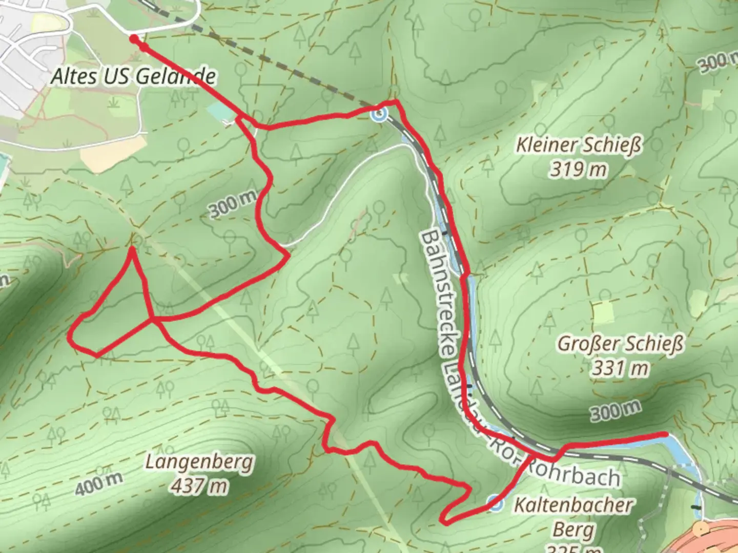
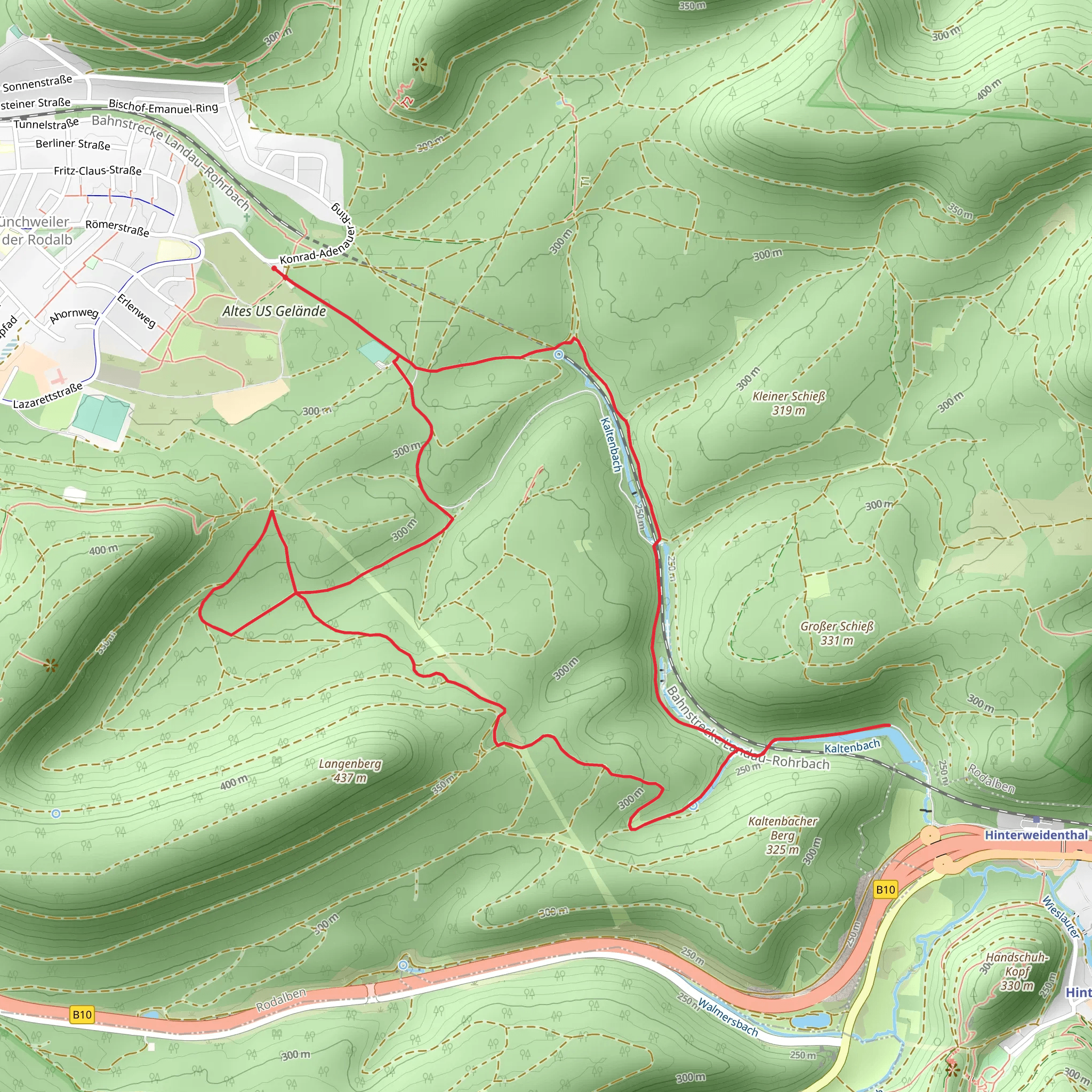
Starting near the charming town of Südwestpfalz in Germany, the Kaltenbach Loop via Pfaelzerwald Weisser Punkt is a delightful 8 km (approximately 5 miles) loop trail with an elevation gain of around 200 meters (656 feet). This medium-difficulty trail offers a mix of natural beauty, historical landmarks, and opportunities for wildlife spotting.
Getting There To reach the trailhead, you can either drive or use public transport. If driving, set your GPS to Südwestpfalz, and look for parking near the town center. For those using public transport, take a train to the nearest station in Pirmasens, and from there, a local bus can take you to Südwestpfalz. The trailhead is conveniently located near the town, making it easily accessible.
Trail Overview The trail begins with a gentle ascent through dense forest, providing a cool and shaded start. As you progress, the path becomes more rugged, with occasional rocky sections that require careful footing. The first significant landmark you'll encounter is the Kaltenbach Spring, located about 2 km (1.2 miles) into the hike. This natural spring is a great spot to take a short break and enjoy the serene surroundings.
Historical Significance Around the 4 km (2.5 miles) mark, you'll come across the ruins of an old watchtower, a remnant from the medieval period when the region was a strategic point for monitoring trade routes. The watchtower offers a glimpse into the area's rich history and provides a fantastic vantage point for panoramic views of the surrounding forest.
Flora and Fauna The Pfaelzerwald region is known for its diverse flora and fauna. As you hike, keep an eye out for native wildlife such as deer, foxes, and various bird species. The forest is predominantly composed of beech and oak trees, with patches of pine adding to the diversity. During spring and summer, the trail is adorned with wildflowers, making it a picturesque journey.
Navigation and Safety The trail is well-marked with white point signs, but it's always a good idea to have a reliable navigation tool. HiiKER is an excellent app for this purpose, providing detailed maps and real-time tracking to ensure you stay on course. The trail can be slippery after rain, so appropriate footwear with good grip is recommended.
Final Stretch The final 2 km (1.2 miles) of the trail take you through a more open landscape, with rolling hills and meadows. This section is relatively flat, allowing for a leisurely finish to your hike. As you loop back towards Südwestpfalz, you'll pass by several small farms and vineyards, offering a glimpse into the local agricultural practices.
This trail is perfect for those looking to experience the natural beauty and historical richness of the Pfaelzerwald region. Whether you're a seasoned hiker or a casual walker, the Kaltenbach Loop via Pfaelzerwald Weisser Punkt offers a rewarding adventure.
What to expect?
Activity types
Comments and Reviews
User comments, reviews and discussions about the Kaltenbach Loop via Pfaelzerwald Weisser Punkt, Germany.
4.5
average rating out of 5
2 rating(s)
