Download
Preview
Add to list
More
7.1 km
~1 hrs 42 min
164 m
Loop
“Embark on a scenic 7 km loop from St. Wendel, blending natural beauty, moderate challenge, and rich history.”
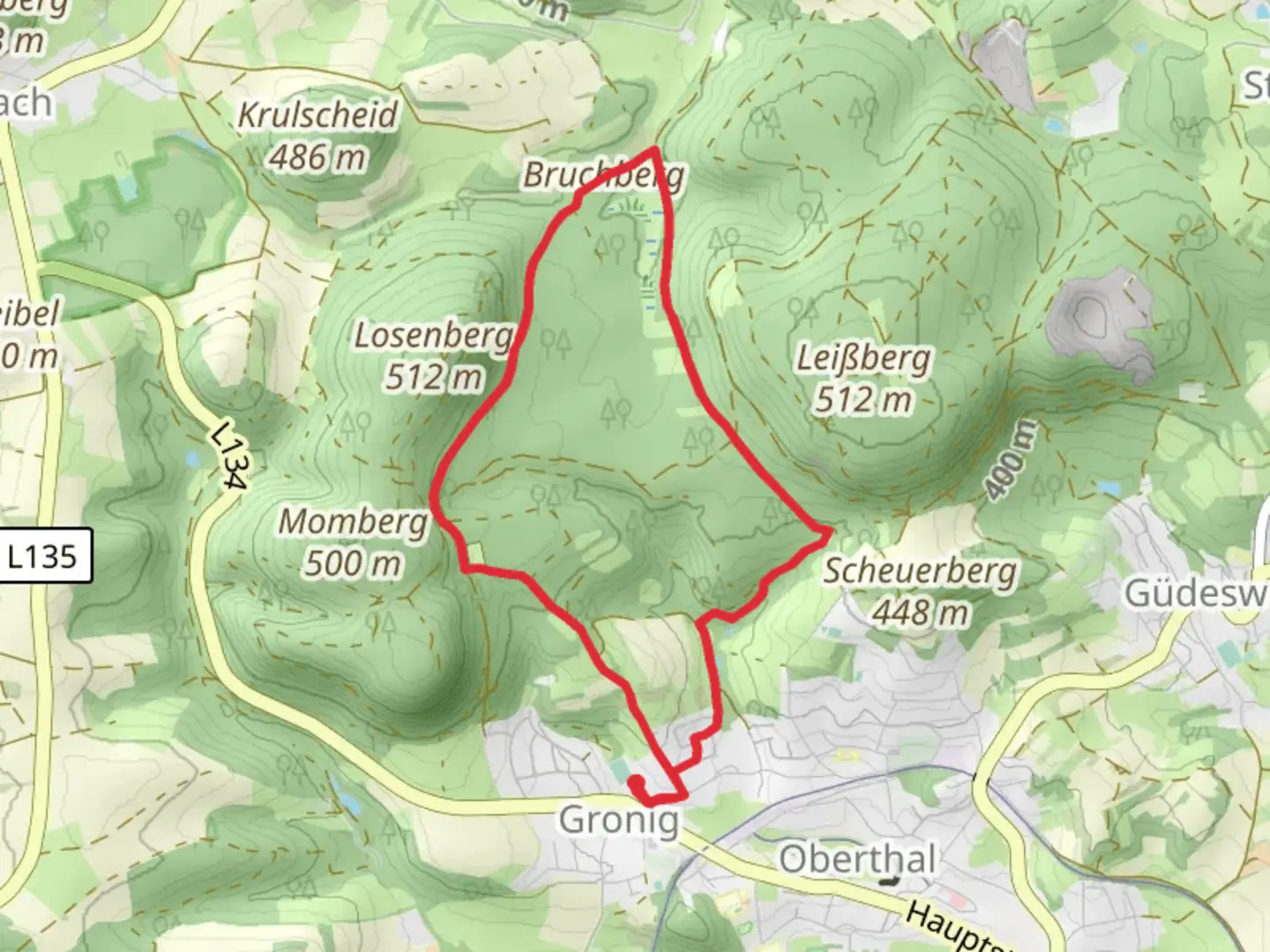
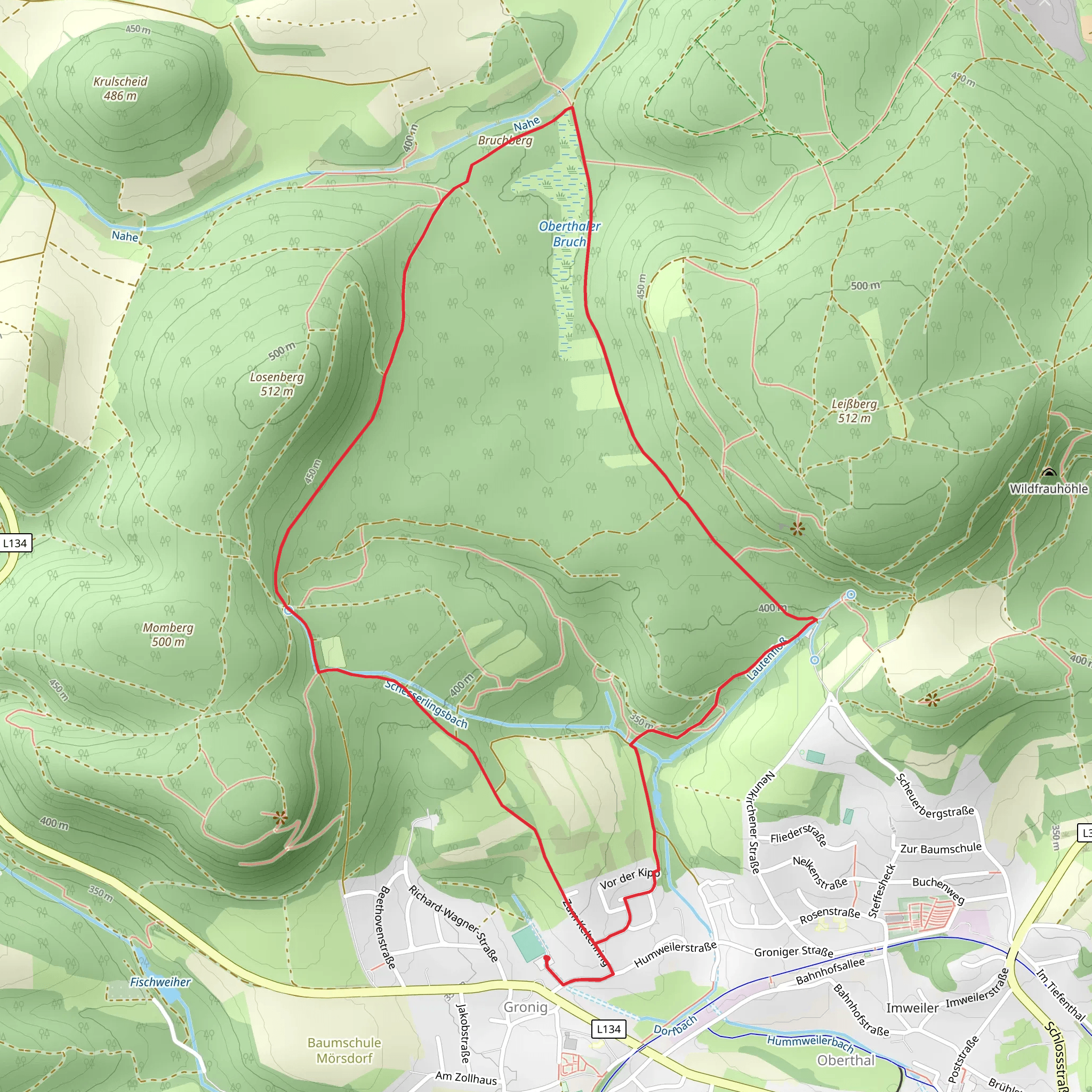
Starting near the charming town of St. Wendel in Germany, the Bruchberg via Roetelsteinpfad trail offers a delightful 7 km (approximately 4.3 miles) loop with an elevation gain of around 100 meters (328 feet). This medium-difficulty trail is perfect for those looking to immerse themselves in the natural beauty and historical richness of the region.
Getting There To reach the trailhead, you can either drive or use public transport. If driving, set your GPS to St. Wendel, and look for parking near the town center or designated trail parking areas. For public transport, St. Wendel is well-connected by train and bus services. The nearest train station is St. Wendel Bahnhof, from where you can either walk or take a short bus ride to the trailhead.
Trail Overview The trail begins near the outskirts of St. Wendel, leading you through a mix of dense forests and open meadows. The initial section is relatively flat, allowing you to ease into the hike. As you progress, the trail gradually ascends, offering a moderate challenge without being overly strenuous.
Key Landmarks and Points of Interest - **Roetelsteinpfad**: About 2 km (1.2 miles) into the hike, you'll encounter the Roetelsteinpfad, a path named after the distinctive red sandstone formations in the area. These geological features are not only visually striking but also offer a glimpse into the region's ancient past. - **Bruchberg Summit**: At approximately the 4 km (2.5 miles) mark, you'll reach the summit of Bruchberg. Although the elevation gain is modest, the summit provides panoramic views of the surrounding landscape, making it a perfect spot for a rest and some photography. - **Historical Significance**: The area around St. Wendel has a rich history dating back to medieval times. The town itself is named after Saint Wendelin, a hermit and abbot who lived in the region. As you hike, you may come across old stone markers and remnants of ancient settlements, adding a layer of historical intrigue to your journey.
Flora and Fauna The trail is a haven for nature enthusiasts. The forests are predominantly composed of beech and oak trees, providing ample shade and a serene atmosphere. In the spring and summer months, the meadows burst into a riot of wildflowers, attracting a variety of butterflies and bees. Birdwatchers will also find plenty to admire, with species like the European robin, blackbird, and various types of woodpeckers commonly spotted.
Navigation and Safety While the trail is well-marked, it's always a good idea to have a reliable navigation tool. The HiiKER app is highly recommended for its detailed maps and real-time updates. Ensure you have adequate water, especially during warmer months, and wear sturdy hiking boots to navigate the occasionally rocky terrain.
Final Stretch The descent from Bruchberg is gentle, leading you back through lush forests and eventually reconnecting with the initial path. The loop concludes near the starting point, making it convenient to return to St. Wendel for a well-deserved meal or to explore the town's historical sites.
This trail offers a balanced mix of natural beauty, moderate physical challenge, and historical context, making it a rewarding experience for hikers of all levels.
What to expect?
Activity types
Comments and Reviews
User comments, reviews and discussions about the Bruchberg via Roetelsteinpfad, Germany.
4.67
average rating out of 5
3 rating(s)
