Download
Preview
Add to list
More
10.1 km
~2 hrs 19 min
180 m
Loop
“Explore Bavarian charm on a scenic 10 km trail with castles, forests, and riverside paths.”
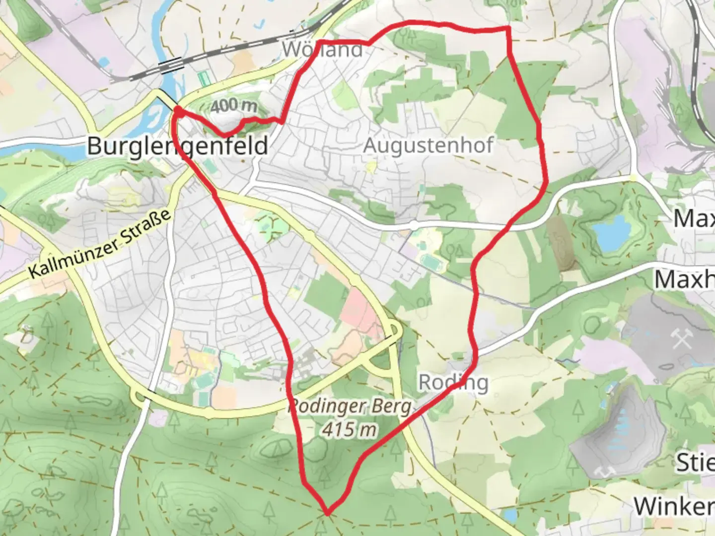
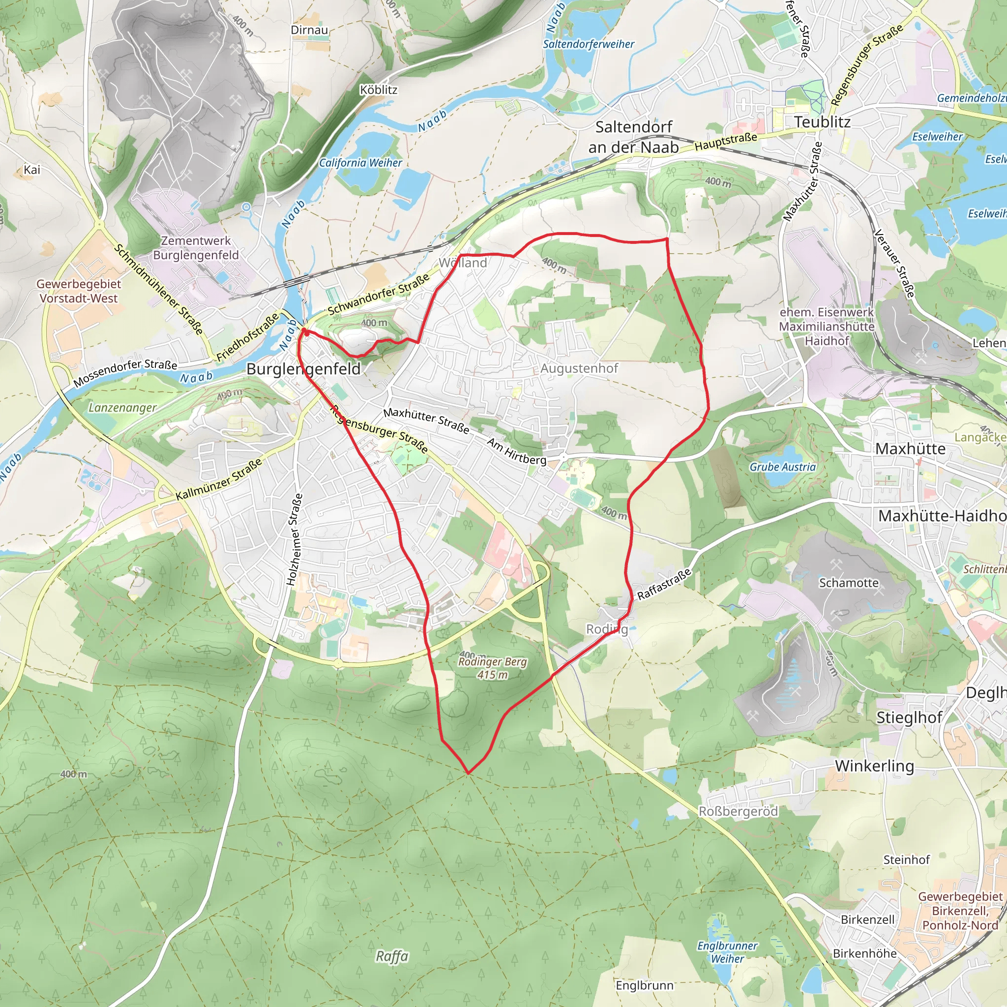
Starting near Schwandorf, Germany, the Staedtedreieck Rundweg and Scharzenfeld trail is a scenic 10 km (6.2 miles) loop with an elevation gain of approximately 100 meters (328 feet). This medium-difficulty trail offers a delightful mix of natural beauty, historical landmarks, and charming Bavarian countryside.
Getting There To reach the trailhead, you can drive to Schwandorf, which is well-connected by major roads. If you prefer public transport, Schwandorf is accessible by train from major cities like Regensburg and Nuremberg. From the Schwandorf train station, local buses or a short taxi ride will take you to the trailhead.
Trail Overview The trail begins near Schwandorf and quickly immerses you in the serene landscapes of the Upper Palatinate region. As you start, you'll traverse through lush forests and open meadows, offering a peaceful escape from urban life. The initial part of the trail is relatively flat, making it a good warm-up for the moderate climbs ahead.
Significant Landmarks and Nature Around the 2 km (1.2 miles) mark, you'll encounter the picturesque Schwarzenfeld Castle, a historical gem dating back to the 12th century. The castle, with its well-preserved architecture and beautiful gardens, is a perfect spot for a short break and some photography.
Continuing on, the trail meanders through dense woodlands where you might spot local wildlife such as deer, foxes, and a variety of bird species. The forested sections provide ample shade, making it a pleasant hike even on warmer days.
Mid-Trail Highlights At approximately 5 km (3.1 miles), you'll reach the highest point of the trail, offering panoramic views of the surrounding countryside. This is an excellent spot to pause and take in the scenery. The elevation gain here is gentle but steady, so be prepared for a bit of a workout.
Descending from the high point, the trail leads you to the charming village of Schwarzenfeld. Here, you can explore local cafes and bakeries, perfect for a mid-hike snack. The village itself is steeped in history, with several buildings dating back to the medieval period.
Final Stretch The last 3 km (1.9 miles) of the trail take you along the Naab River, providing a tranquil riverside walk back towards Schwandorf. The riverbanks are lined with wildflowers in the spring and summer, adding a splash of color to your hike. Keep an eye out for waterfowl and other riverine wildlife.
Navigation and Safety For navigation, it's highly recommended to use the HiiKER app, which provides detailed maps and real-time updates. The trail is well-marked, but having a reliable navigation tool ensures you stay on track and can fully enjoy the hike without any worries.
Historical Significance The region around Schwandorf and Schwarzenfeld is rich in history, with settlements dating back to the Roman era. The trail itself passes through areas that were once significant trade routes in medieval times, adding an extra layer of historical intrigue to your hike.
This 10 km loop offers a perfect blend of natural beauty, historical landmarks, and a moderate challenge, making it an ideal choice for hikers looking to explore the Bavarian countryside.
What to expect?
Activity types
Comments and Reviews
User comments, reviews and discussions about the Staedtedreieck Rundweg and Scharzenfeld, Germany.
average rating out of 5
0 rating(s)
