Download
Preview
Add to list
More
11.9 km
~2 hrs 43 min
207 m
Point-to-Point
“Explore Bavaria's beauty on the 12 km Goldsteig trail, blending nature, history, and charming villages.”
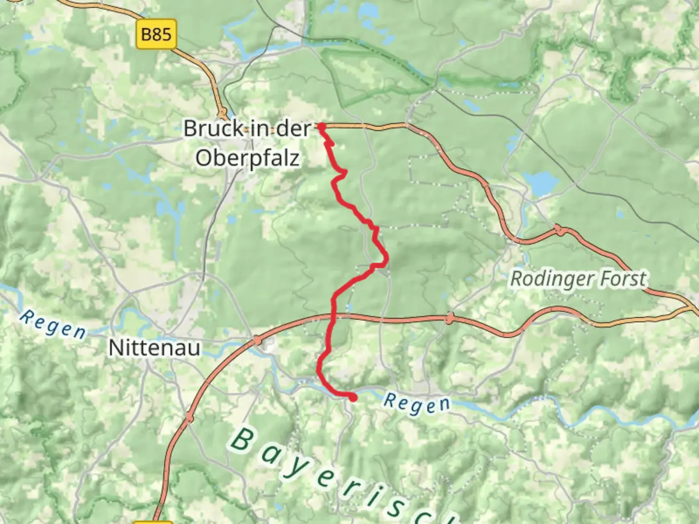
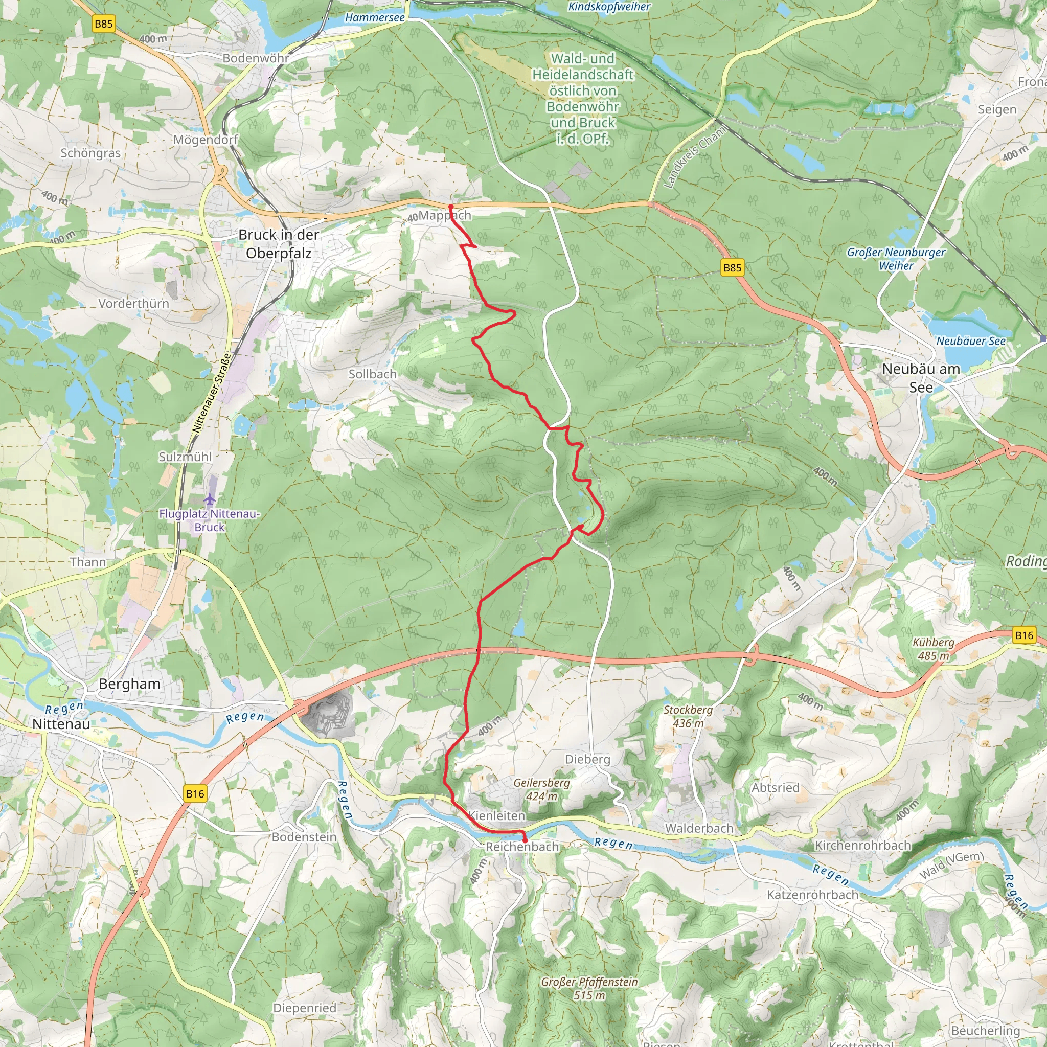
Starting near Schwandorf, Germany, the Mappach to Kienleiten via Goldsteig trail offers a delightful 12 km (7.5 miles) journey through the picturesque Bavarian landscape. With an elevation gain of around 200 meters (656 feet), this point-to-point trail is rated as medium difficulty, making it suitable for moderately experienced hikers.
Getting There To reach the trailhead, you can either drive or use public transport. If driving, head towards Schwandorf and follow local signage to Mappach. For those using public transport, Schwandorf is well-connected by train. From the Schwandorf train station, you can take a local bus or taxi to Mappach.
Trail Overview The trail begins in the quaint village of Mappach, a charming starting point that sets the tone for the hike. As you set off, you'll find yourself immersed in lush forests and rolling hills, typical of the Upper Palatinate region. The initial part of the trail is relatively flat, allowing you to ease into the hike.
Key Landmarks and Nature Around the 3 km (1.9 miles) mark, you'll encounter the first significant landmark: the ruins of an old watchtower. This historical site offers a glimpse into the region's medieval past, when such towers were used for surveillance and defense. Take a moment to explore the ruins and enjoy the panoramic views of the surrounding countryside.
Continuing on, the trail gradually ascends, leading you through dense forests rich with flora and fauna. Keep an eye out for native wildlife such as deer, foxes, and a variety of bird species. The forest canopy provides ample shade, making this section particularly pleasant during warmer months.
Mid-Trail Highlights At approximately 6 km (3.7 miles), you'll reach a scenic viewpoint that offers breathtaking vistas of the Bavarian landscape. This is an ideal spot for a short break and some photography. The elevation gain here is noticeable but manageable, with the trail winding through a series of gentle switchbacks.
Historical Significance As you approach the 9 km (5.6 miles) mark, you'll come across a small chapel, a testament to the region's rich cultural and religious history. This chapel has been a place of pilgrimage for centuries and adds a spiritual dimension to your hike. The surrounding area is dotted with informational plaques that provide insights into the local history and traditions.
Final Stretch The last 3 km (1.9 miles) of the trail take you through open meadows and farmland, offering a stark contrast to the earlier forested sections. The terrain here is relatively flat, allowing for a leisurely finish to your hike. As you near Kienleiten, you'll pass by several traditional Bavarian farmhouses, each with its own unique charm.
Navigation For navigation, it's highly recommended to use the HiiKER app, which provides detailed maps and real-time updates. This will ensure you stay on track and can fully enjoy the hike without any worries about getting lost.
Ending Point The trail concludes in the village of Kienleiten, where you can find local eateries and inns to rest and refuel. Public transport options are available from Kienleiten to return to Schwandorf, making it convenient to complete your journey.
This trail offers a perfect blend of natural beauty, historical landmarks, and cultural insights, making it a rewarding experience for any hiker.
What to expect?
Activity types
Comments and Reviews
User comments, reviews and discussions about the Mappach to Kienleiten via Goldsteig, Germany.
4.5
average rating out of 5
2 rating(s)
