Download
Preview
Add to list
More
13.1 km
~3 hrs 13 min
368 m
Loop
“Explore the scenic 13 km Terrainkurweg - Neukirchen Loop, blending forest paths, meadows, and medieval ruins.”
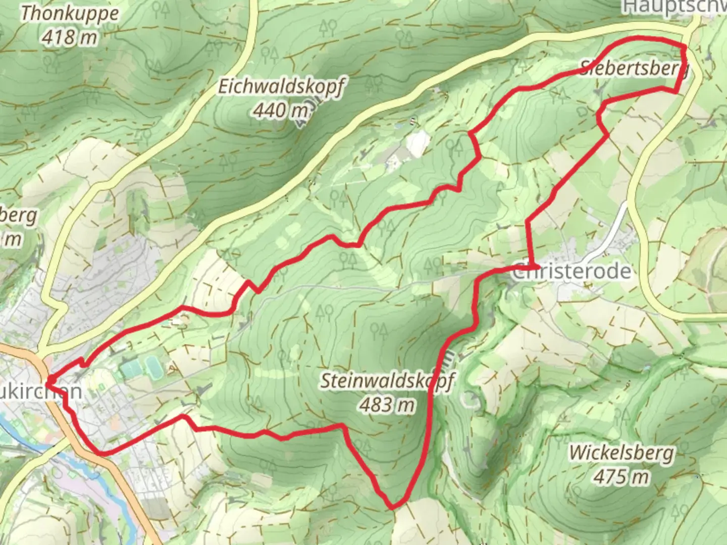
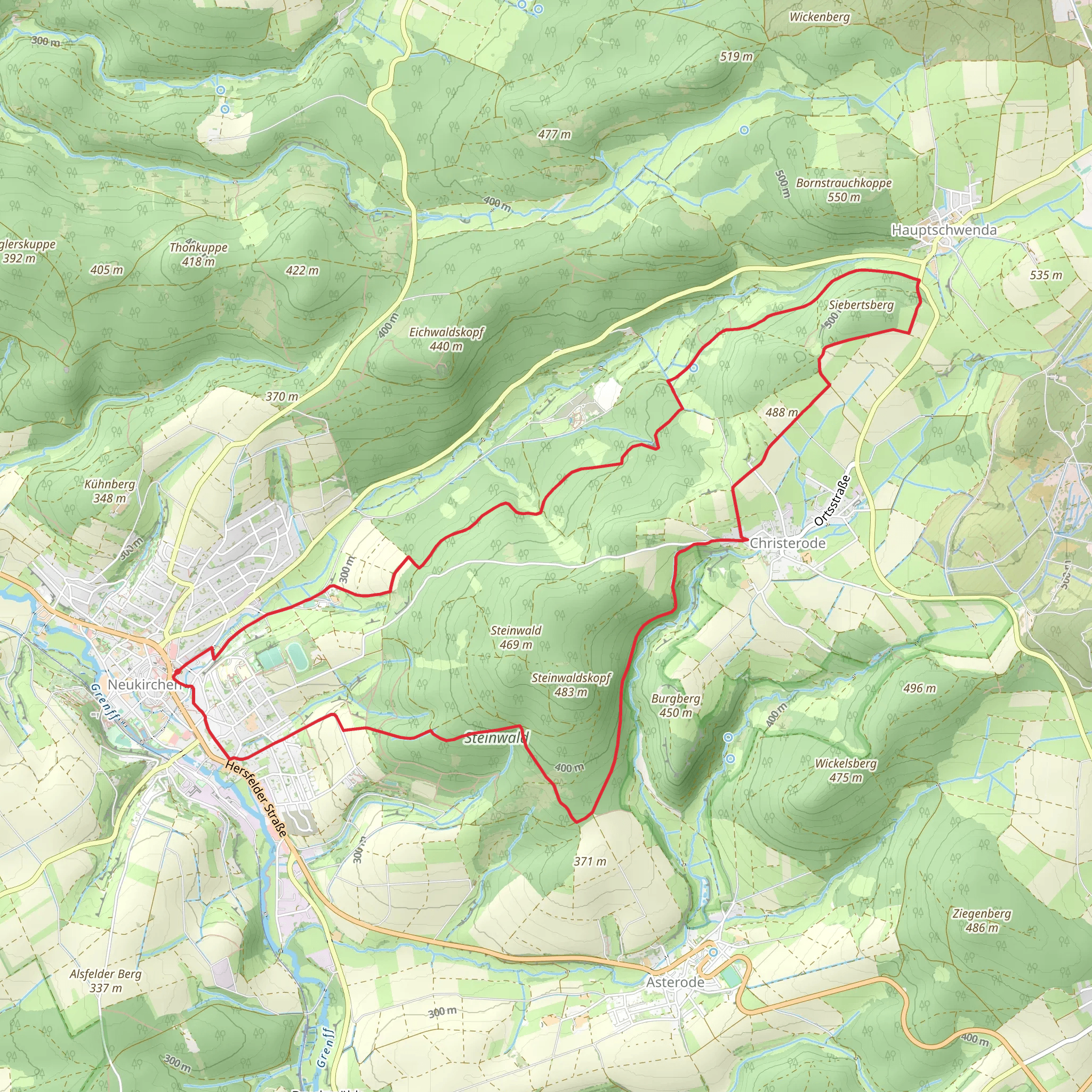
Starting near Schwalm-Eder-Kreis, Germany, the Terrainkurweg - Neukirchen Loop is a delightful 13 km (8 miles) trail with an elevation gain of approximately 300 meters (984 feet). This loop trail is rated medium in difficulty, making it suitable for moderately experienced hikers.### Getting There To reach the trailhead, you can drive or use public transport. If driving, set your GPS to Neukirchen, Schwalm-Eder-Kreis, and look for parking near the town center. For those using public transport, take a train to Schwalmstadt-Treysa station and then a bus to Neukirchen. The trailhead is conveniently located near the town center, making it easily accessible.### Trail Overview The trail begins in the charming town of Neukirchen, known for its half-timbered houses and historical significance. As you start your hike, you'll be greeted by a mix of forested paths and open meadows. The initial section is relatively flat, allowing you to ease into the hike.### Key Landmarks and Sections - Neukirchen Town Center (0 km / 0 miles): The trailhead is located here, offering a glimpse of the town's historical architecture. - Forest Path (2 km / 1.2 miles): After leaving the town, the trail enters a dense forest. This section is shaded and cool, perfect for a summer hike. - First Elevation Gain (4 km / 2.5 miles): As you progress, you'll encounter the first significant elevation gain. The trail ascends gradually, offering panoramic views of the surrounding countryside. - Open Meadows (6 km / 3.7 miles): Midway through the hike, the trail opens up into expansive meadows. This is an excellent spot for a break and to enjoy the scenery. - Historical Ruins (8 km / 5 miles): One of the highlights of the trail is the ruins of an old castle. These ruins date back to the medieval period and offer a fascinating glimpse into the region's history. - Second Elevation Gain (10 km / 6.2 miles): The trail ascends again, this time more steeply. This section can be challenging but is well worth the effort for the views at the top. - Descent and Return (12 km / 7.5 miles): The final section of the trail descends back into Neukirchen, passing through more forested areas and eventually leading you back to the town center.### Nature and Wildlife The Terrainkurweg - Neukirchen Loop is rich in biodiversity. In the forested sections, keep an eye out for deer, foxes, and a variety of bird species. The meadows are home to numerous wildflowers, especially in the spring and summer months. The trail also passes by several small streams, which are perfect for a quick refreshment.### Navigation For navigation, it's highly recommended to use the HiiKER app. The trail is well-marked, but having a reliable navigation tool can help you stay on track and provide additional information about the trail and surrounding area.### Historical Significance Neukirchen and its surrounding areas have a rich history dating back to the medieval period. The town itself was a significant trading post, and the ruins along the trail are remnants of its storied past. Hiking this trail offers not just natural beauty but also a journey through time.### Final Tips - Footwear: Wear sturdy hiking boots, as the trail can be uneven and rocky in places. - Weather: Check the weather forecast before you go. The trail can be slippery after rain. - Supplies: Bring enough water and snacks, especially if you plan to take breaks and enjoy the scenery. - Respect Nature: Follow Leave No Trace principles to keep the trail beautiful for future hikers.Enjoy your hike on the Terrainkurweg - Neukirchen Loop, where nature, history, and adventure await!
Comments and Reviews
User comments, reviews and discussions about the Terrainkurweg - Neukirchen Loop, Germany.
average rating out of 5
0 rating(s)
