Download
Preview
Add to list
More
6.8 km
~1 hrs 35 min
135 m
Loop
“This 7 km loop trail near Frielendorf blends natural beauty with historical landmarks for a rewarding hike.”
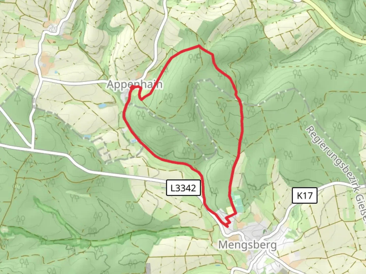
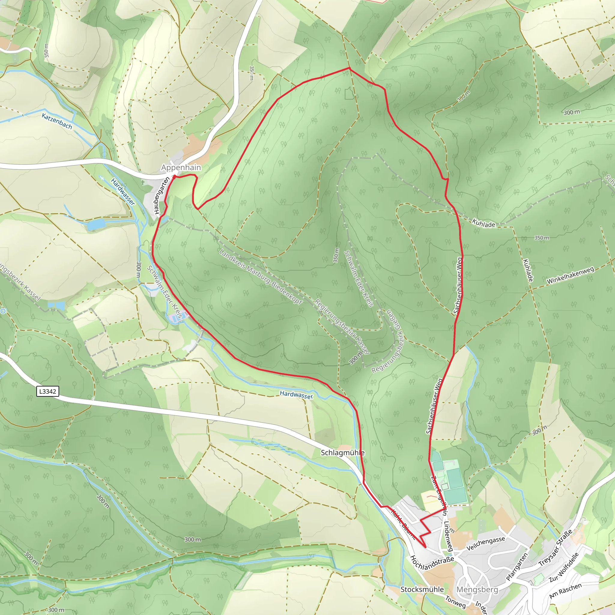
Starting near Schwalm-Eder-Kreis in Germany, this 7 km (approximately 4.35 miles) loop trail offers a delightful mix of natural beauty and historical intrigue. With an elevation gain of around 100 meters (328 feet), it is rated as a medium difficulty hike, making it accessible to most hikers with a moderate level of fitness.### Getting There To reach the trailhead, you can drive or use public transport. If driving, set your GPS to Schwalm-Eder-Kreis, and look for parking near the village of Frielendorf, which is the closest significant landmark. For those using public transport, take a train to the nearest major station in Kassel, then a regional bus to Frielendorf. From there, it's a short walk to the trailhead.### Trail Navigation For navigation, the HiiKER app is highly recommended. It provides detailed maps and real-time GPS tracking to ensure you stay on the right path.### Trail Highlights The trail begins with a gentle ascent through a mixed forest, where you can expect to see a variety of flora, including oak, beech, and pine trees. At around the 1 km (0.62 miles) mark, you will encounter the first significant landmark: an old stone bridge that dates back to the 18th century. This bridge is a great spot for a quick rest and some photos.### Flora and Fauna As you continue, the trail meanders through meadows and small clearings. Keep an eye out for local wildlife such as deer, foxes, and a variety of bird species. In spring and summer, the meadows are often filled with wildflowers, adding a splash of color to your hike.### Historical Significance Around the 3 km (1.86 miles) point, you will come across the ruins of a medieval watchtower. This tower once served as a lookout point to protect the region from invaders. The site offers panoramic views of the surrounding countryside and is an excellent spot for a picnic.### Elevation and Terrain The trail's highest point is reached at approximately 4 km (2.48 miles), with an elevation gain of about 100 meters (328 feet). The ascent is gradual, making it manageable for most hikers. The terrain varies from forest paths to gravel roads, so sturdy hiking boots are recommended.### Final Stretch The descent begins after the watchtower, leading you back through dense forest and eventually to the starting point near Frielendorf. The final 2 km (1.24 miles) are relatively flat, allowing you to cool down and enjoy the serene environment.### Practical Information Ensure you carry enough water and snacks, as there are no facilities along the trail. The entire loop can be completed in about 2-3 hours, depending on your pace and how often you stop to take in the sights. The trail is well-marked, but having the HiiKER app will provide additional peace of mind.This trail offers a perfect blend of natural beauty and historical landmarks, making it a rewarding experience for any hiker.
Comments and Reviews
User comments, reviews and discussions about the Junkerwaldrunde, Germany.
average rating out of 5
0 rating(s)
