Download
Preview
Add to list
More
9.1 km
~2 hrs 18 min
297 m
Loop
“Embark on the Adelshäuser Rundweg for a scenic, history-rich 9 km hike through forests and meadows.”
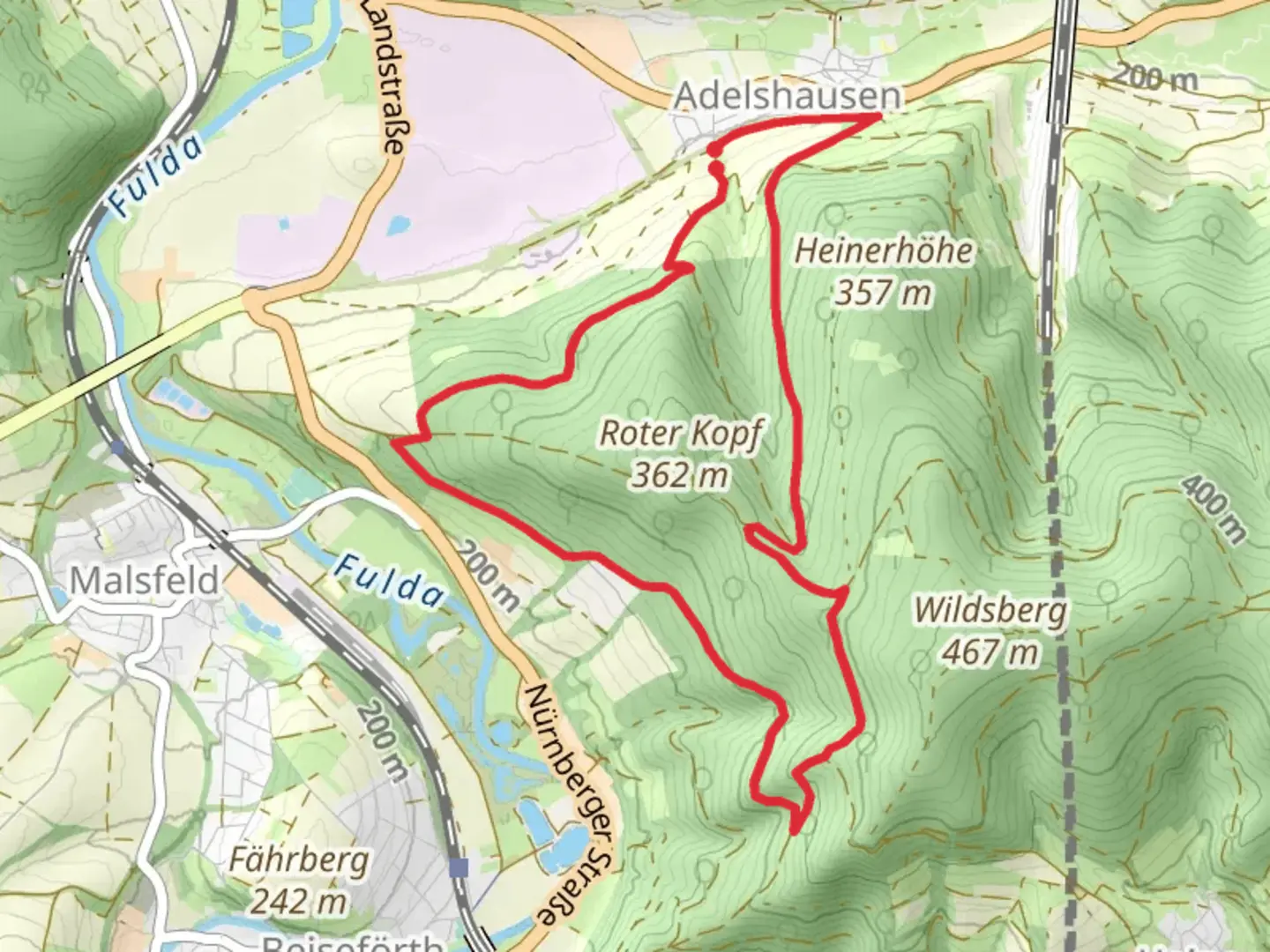
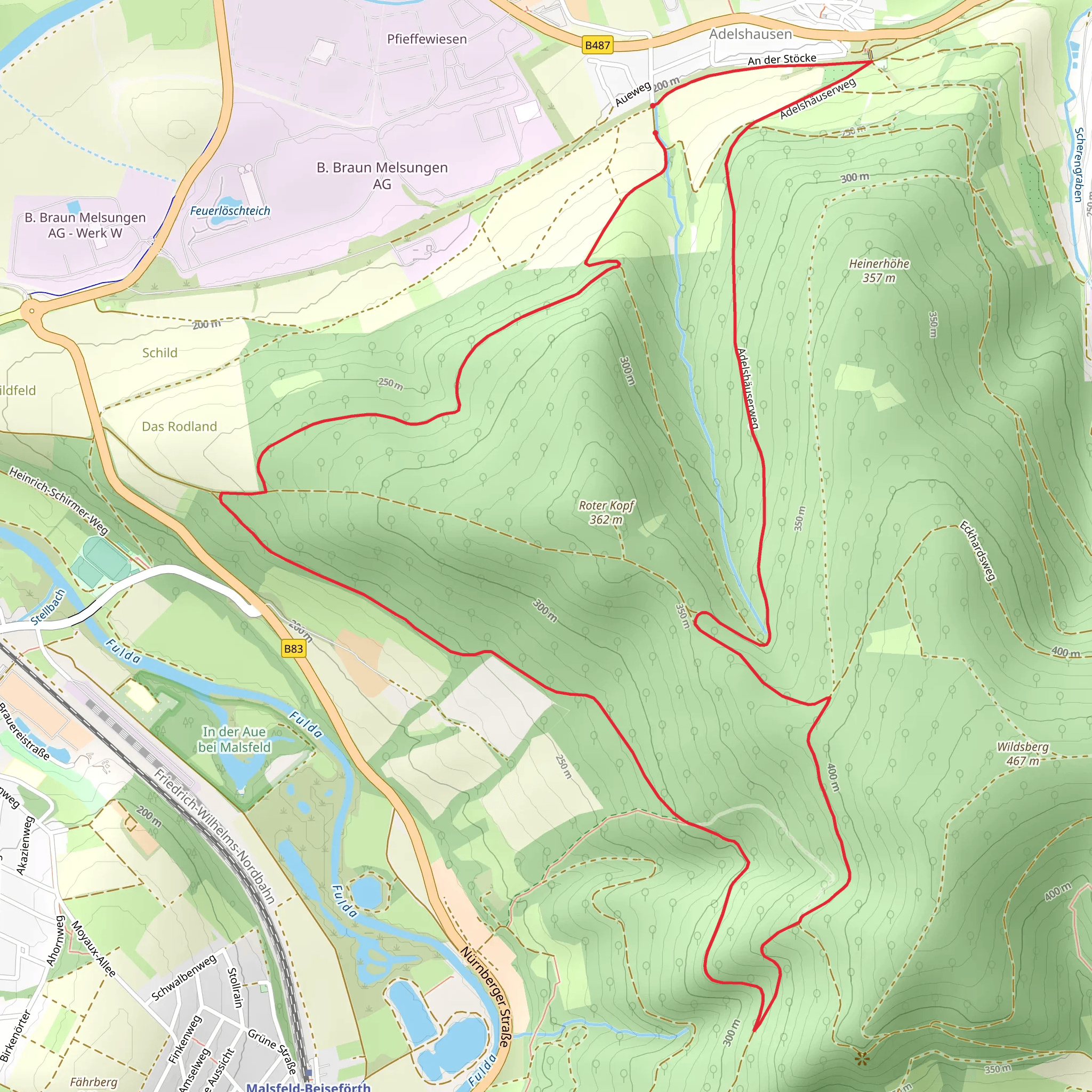
Starting near Schwalm-Eder-Kreis in Germany, this 9 km (approximately 5.6 miles) loop trail offers a moderate challenge with an elevation gain of around 200 meters (656 feet). The trailhead is conveniently accessible by car or public transport. If driving, you can park near the village of Adelshausen. For those using public transport, the nearest significant landmark is the Melsungen train station, from where you can take a local bus to Adelshausen.
Trail Overview
The Adelshäuser Rundweg and Bartenwetzerpfad trail is a delightful mix of natural beauty and historical intrigue. As you embark on this journey, you'll traverse through dense forests, open meadows, and charming rural landscapes. The trail is well-marked, but it's always a good idea to have a reliable navigation tool like HiiKER to ensure you stay on course.
Key Landmarks and Points of Interest
Adelshausen Village: Starting from the quaint village of Adelshausen, you'll immediately feel the charm of rural Germany. The village itself is worth a brief exploration, with its traditional half-timbered houses and serene atmosphere.
Bartenwetzerpfad: This section of the trail is named after the "Bartenwetzer," or axe sharpeners, who historically used this path. As you walk along, you'll notice remnants of old sharpening stones and other historical artifacts that tell the story of the region's past.
Forests and Meadows: About 3 km (1.9 miles) into the hike, you'll enter a dense forest area. The canopy provides a cool respite, and if you're lucky, you might spot some local wildlife such as deer or various bird species. After another 2 km (1.2 miles), the trail opens up into expansive meadows, offering panoramic views of the surrounding countryside.
Elevation Gain: The trail features a gradual ascent, with the most significant climb occurring around the 4 km (2.5 miles) mark. Here, you'll gain approximately 100 meters (328 feet) in elevation over a short distance, providing a good workout and rewarding you with stunning views from the top.
Historical Significance
The region around Schwalm-Eder-Kreis is steeped in history. The Bartenwetzerpfad, in particular, is a nod to the area's past as a hub for woodcutters and axe sharpeners. These tradesmen played a crucial role in the local economy, and their legacy is preserved along the trail. You'll find informational plaques that provide deeper insights into their lives and work.
Flora and Fauna
The trail is a haven for nature enthusiasts. In the spring and summer months, the meadows are awash with wildflowers, attracting a variety of butterflies and bees. The forested sections are home to oak, beech, and pine trees, creating a diverse ecosystem. Keep an eye out for local wildlife, including foxes, hares, and a variety of bird species.
Getting There
To reach the trailhead, you can drive to Adelshausen and park in the designated areas. If you're using public transport, take a train to Melsungen station. From there, local buses can take you to Adelshausen. Be sure to check the bus schedules in advance, as services may be less frequent on weekends and holidays.
Final Tips
Ensure you wear sturdy hiking boots, as some sections of the trail can be uneven. Bring plenty of water and snacks, especially if you plan to take your time exploring the historical sites and natural beauty along the way. A map or navigation tool like HiiKER is highly recommended to keep you on track.
Comments and Reviews
User comments, reviews and discussions about the Adelshäuser Rundweg and Bartenwetzerpfad, Germany.
5.0
average rating out of 5
1 rating(s)
