Download
Preview
Add to list
More
7.6 km
~1 hrs 51 min
199 m
Loop
“Explore lush landscapes, historical landmarks, and moderate challenges on the scenic Roswitha Weg and Lauenau Loop.”
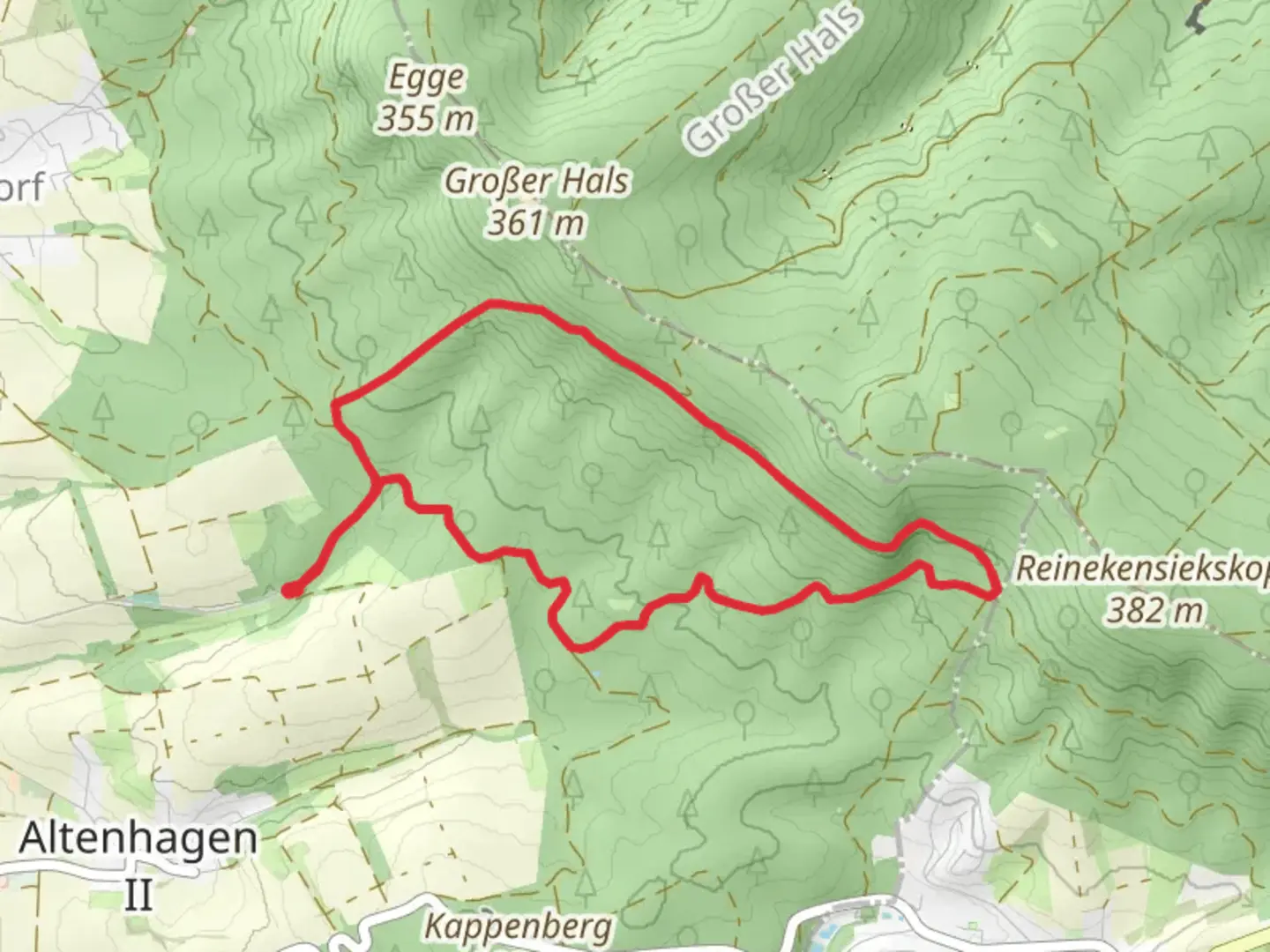
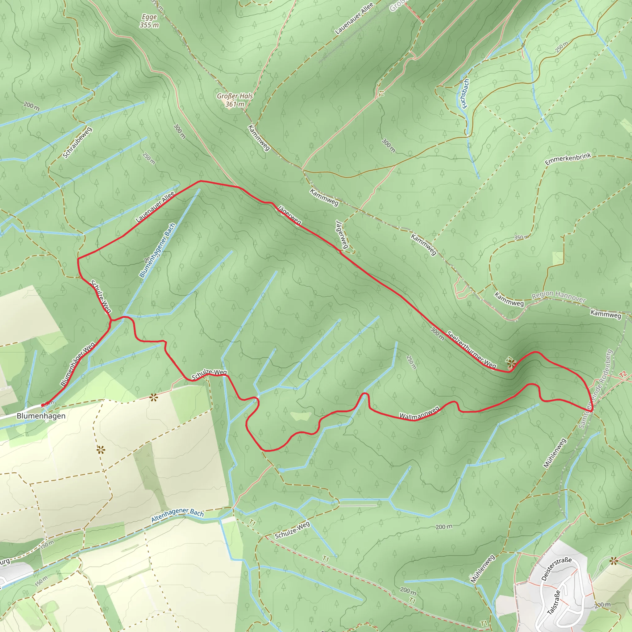
Starting near the picturesque town of Schaumburg, Germany, the Roswitha Weg and Lauenau Loop is an 8 km (approximately 5 miles) trail with an elevation gain of around 200 meters (656 feet). This loop trail offers a medium difficulty rating, making it suitable for moderately experienced hikers.
Getting There To reach the trailhead, you can either drive or use public transport. If driving, set your GPS to Schaumburg, Germany, and look for parking near the town center. For those using public transport, take a train to the nearest station in Schaumburg and then a local bus or taxi to the trailhead.
Trail Overview The trail begins near Schaumburg and quickly immerses you in the lush, green landscapes of Lower Saxony. The initial section is relatively flat, allowing you to ease into the hike. As you progress, the trail starts to ascend gently, offering panoramic views of the surrounding countryside.
Historical Significance Schaumburg itself is steeped in history, with the Schaumburg Castle being a notable landmark. The castle dates back to the 12th century and offers a glimpse into the region's medieval past. As you hike, you'll pass by several historical markers and ruins that tell the story of the area's rich heritage.
Key Landmarks and Points of Interest - **Schaumburg Castle**: Located approximately 2 km (1.2 miles) from the start, this medieval fortress is a must-see. The castle grounds offer stunning views and are perfect for a short break. - **Lauenau Forest**: Around the 4 km (2.5 miles) mark, you'll enter the dense Lauenau Forest. This section is particularly scenic, with towering trees and a variety of flora and fauna. - **Roswitha Monument**: At about 6 km (3.7 miles), you'll come across a monument dedicated to Roswitha of Gandersheim, a 10th-century German poet and dramatist. This is a great spot for a photo and a brief rest.
Nature and Wildlife The trail is abundant with natural beauty. Expect to see a variety of bird species, including woodpeckers and songbirds. The forested sections are home to deer and small mammals, so keep your eyes peeled. The flora is equally impressive, with seasonal wildflowers adding a splash of color to the landscape.
Navigation To ensure you stay on track, it's advisable to use the HiiKER app. The app provides detailed maps and real-time navigation, making it easier to follow the trail and discover points of interest.
Elevation and Terrain The total elevation gain of 200 meters (656 feet) is spread out over the 8 km (5 miles), making the ascents manageable. The terrain varies from well-trodden paths to more rugged sections, so sturdy hiking boots are recommended. There are a few steep sections, particularly as you approach the Lauenau Forest, but nothing too challenging for a moderately experienced hiker.
Preparation Given the medium difficulty rating, it's wise to bring plenty of water, snacks, and a first-aid kit. Weather in this region can be unpredictable, so pack a lightweight rain jacket and dress in layers.
This trail offers a perfect blend of natural beauty, historical landmarks, and moderate physical challenge, making it a rewarding experience for those who undertake it.
Comments and Reviews
User comments, reviews and discussions about the Roswitha Weg and Lauenau Loop, Germany.
4.0
average rating out of 5
2 rating(s)
