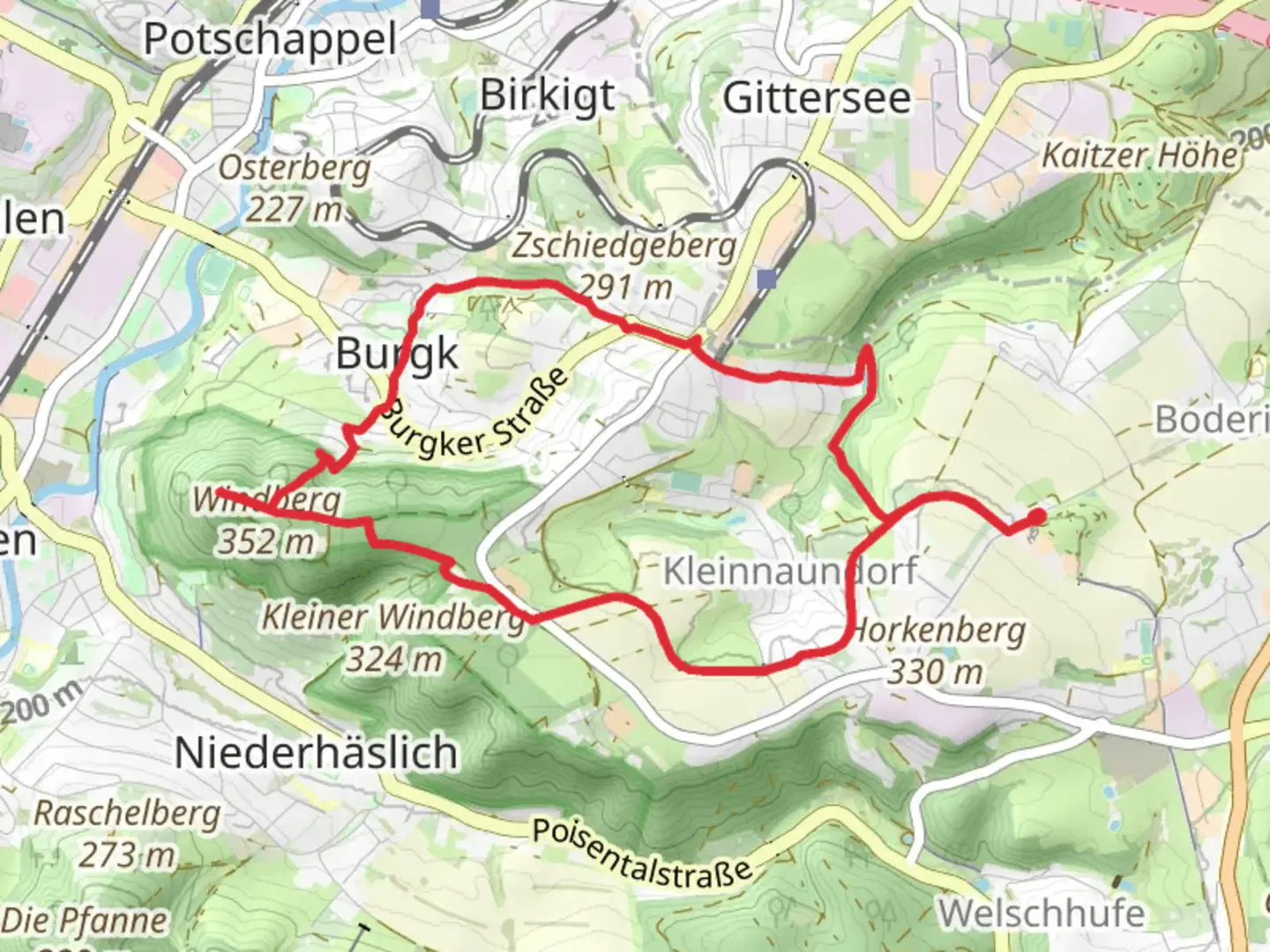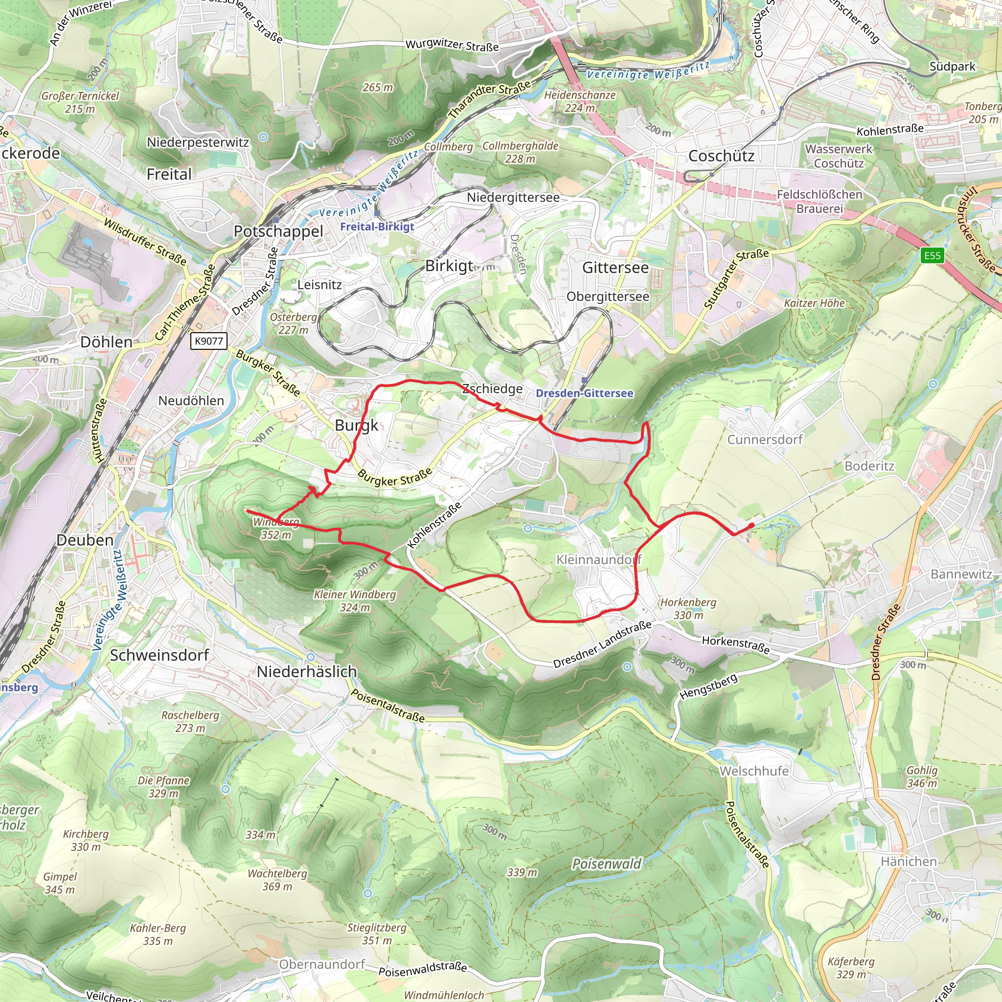
Koenig Albert Denkmal and Kaitzbach via Freitaler Wanderweg
Download
Preview
Add to list
More
9.1 km
~2 hrs 16 min
265 m
Loop
“Discover a 9 km trail in Sächsische Schweiz-Osterzgebirge, merging natural beauty, history, and moderate hiking.”
Starting near the picturesque region of Sächsische Schweiz-Osterzgebirge in Germany, this 9 km (5.6 miles) loop trail offers a delightful mix of natural beauty and historical intrigue. With an elevation gain of around 200 meters (656 feet), the trail is rated as medium difficulty, making it accessible for most hikers with a moderate level of fitness.### Getting There To reach the trailhead, you can either drive or use public transport. If you're driving, set your GPS to Freital, a town near Dresden, and look for parking options close to the starting point. For those using public transport, take a train or bus to Freital-Deuben station. From there, it's a short walk to the trailhead.### Trail Highlights#### Koenig Albert Denkmal One of the first significant landmarks you'll encounter is the Koenig Albert Denkmal, a monument dedicated to King Albert of Saxony. This historical site offers a glimpse into the region's royal past and provides a great spot for a short break and some photos. The monument is located approximately 2 km (1.2 miles) into the hike, with a gentle ascent leading up to it.#### Kaitzbach Stream As you continue, you'll follow the scenic Kaitzbach stream. The trail meanders alongside the stream for about 3 km (1.9 miles), offering serene views and the soothing sounds of flowing water. This section is relatively flat, making it a pleasant and relaxing part of the hike.### Flora and Fauna The trail is rich in biodiversity. Keep an eye out for native plant species like the European beech and various types of ferns. Birdwatchers will be delighted by the presence of species such as the Eurasian jay and the great spotted woodpecker. Small mammals like red squirrels and hedgehogs are also commonly spotted along the trail.### Freitaler Wanderweg The trail intersects with the Freitaler Wanderweg, a well-marked path that guides you through the lush forests and rolling hills of the region. This section involves a moderate climb, gaining about 100 meters (328 feet) in elevation over 1.5 km (0.9 miles). The effort is well worth it, as you'll be rewarded with panoramic views of the surrounding countryside.### Navigation For navigation, it's highly recommended to use the HiiKER app, which provides detailed maps and real-time updates. The trail is well-marked, but having a reliable navigation tool can enhance your hiking experience and ensure you stay on the right path.### Final Stretch The last 2.5 km (1.5 miles) of the trail loop back towards the starting point, descending gently through a mixed forest. This section is particularly beautiful in the autumn when the leaves change color, creating a vibrant tapestry of reds, oranges, and yellows.### Historical Significance The region around Sächsische Schweiz-Osterzgebirge has a rich history, dating back to medieval times. The trail itself passes through areas that were once significant trade routes. The Koenig Albert Denkmal serves as a reminder of the area's royal heritage, while the Kaitzbach stream has historically been a vital water source for local communities.This 9 km loop offers a well-rounded hiking experience, combining natural beauty, historical landmarks, and moderate physical challenge. Whether you're a seasoned hiker or a casual walker, this trail provides a rewarding adventure in the heart of Germany's scenic landscapes.
What to expect?
Activity types
Comments and Reviews
User comments, reviews and discussions about the Koenig Albert Denkmal and Kaitzbach via Freitaler Wanderweg, Germany.
4.25
average rating out of 5
4 rating(s)
