Download
Preview
Add to list
More
10.6 km
~2 hrs 22 min
158 m
Loop
“This 11 km loop trail in Germany offers lush forests, historical sites, and panoramic river views.”
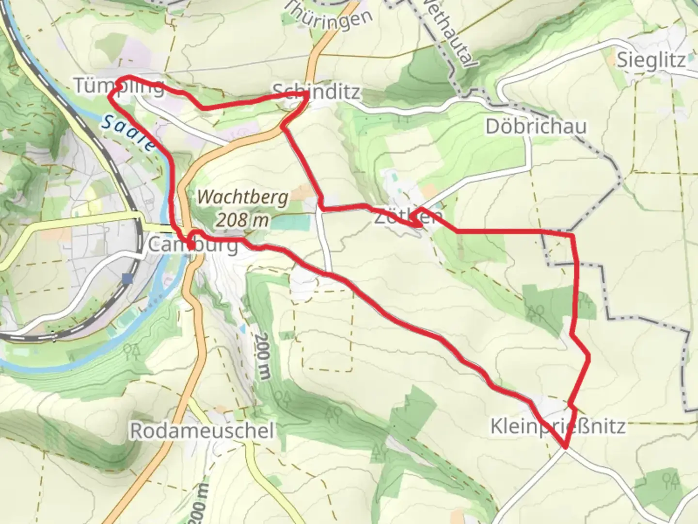
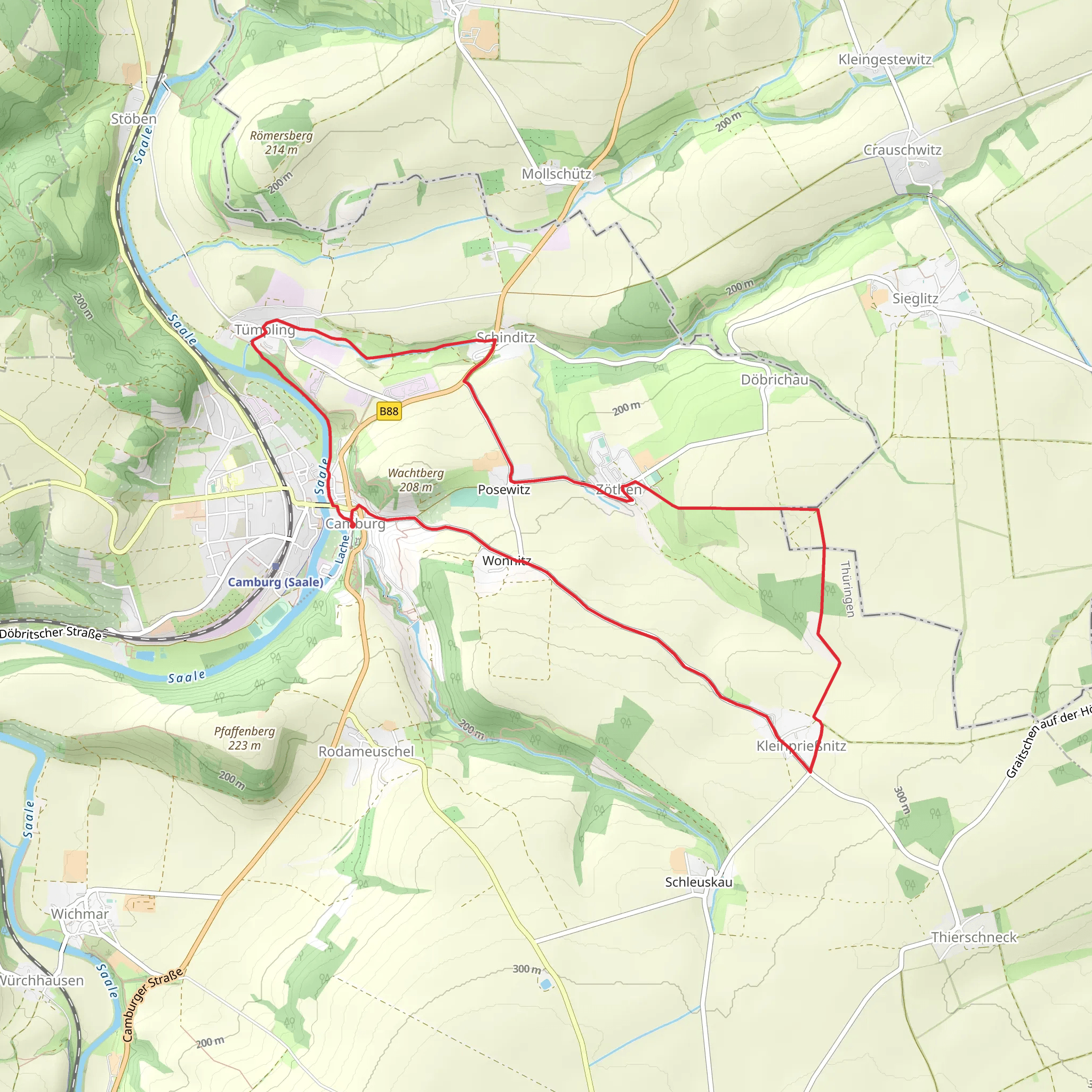
Starting near Saale-Holzland-Kreis in Germany, this 11 km (approximately 6.8 miles) loop trail offers a delightful mix of natural beauty and historical intrigue. With an elevation gain of around 100 meters (328 feet), it is rated as a medium difficulty hike, making it suitable for moderately experienced hikers.
Getting There To reach the trailhead, you can either drive or use public transport. If driving, set your GPS to Saale-Holzland-Kreis, Germany. For those using public transport, the nearest significant landmark is the Hermsdorf-Klosterlausnitz train station. From there, you can take a local bus or taxi to the trailhead.
Trail Overview The trail begins near the Saale River, a significant waterway in the region. As you start your hike, you'll be greeted by lush forests and the soothing sounds of the river. The first section of the trail is relatively flat, making it a good warm-up for the more challenging parts ahead.
Key Landmarks and Points of Interest - **Schinditzgrund**: Around 3 km (1.86 miles) into the hike, you'll reach Schinditzgrund, a picturesque valley known for its diverse flora and fauna. Keep an eye out for deer and various bird species that inhabit this area. - **Historical Sites**: Approximately 5 km (3.1 miles) into the trail, you'll come across remnants of old fortifications and ancient settlements. These sites offer a glimpse into the region's rich history, dating back to medieval times. - **Panoramic Views**: At around the 7 km (4.35 miles) mark, the trail ascends to a viewpoint offering panoramic views of the Saale River and the surrounding countryside. This is a great spot to take a break and enjoy the scenery.
Flora and Fauna The trail is home to a variety of plant species, including oak, beech, and pine trees. In spring and summer, the forest floor is carpeted with wildflowers, adding a splash of color to your hike. Wildlife is abundant, with chances to spot foxes, hares, and a variety of bird species.
Navigation and Safety Given the trail's moderate difficulty, it's advisable to use a reliable navigation tool like HiiKER to ensure you stay on track. The trail is well-marked, but having a digital map can be very helpful, especially in the more remote sections.
Final Stretch The last 2 km (1.24 miles) of the trail loop back towards the starting point, descending gently through a mixed forest. This section is less strenuous, allowing you to cool down as you make your way back.
Practical Tips - **Footwear**: Sturdy hiking boots are recommended due to uneven terrain. - **Weather**: Check the weather forecast before you go, as conditions can change rapidly. - **Supplies**: Carry enough water and snacks, as there are no facilities along the trail. - **Wildlife**: Be mindful of wildlife and maintain a respectful distance.
This trail offers a perfect blend of natural beauty and historical significance, making it a rewarding experience for any hiker.
What to expect?
Activity types
Comments and Reviews
User comments, reviews and discussions about the Saale via Schinditzgrund, Germany.
4.67
average rating out of 5
3 rating(s)
