Download
Preview
Add to list
More
9.4 km
~2 hrs 1 min
88 m
Loop
“Discover the Europaeische Wasserscheide trail: a flat, scenic 9 km loop near Roth, Germany.”
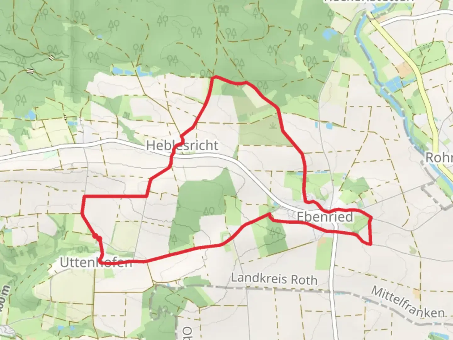
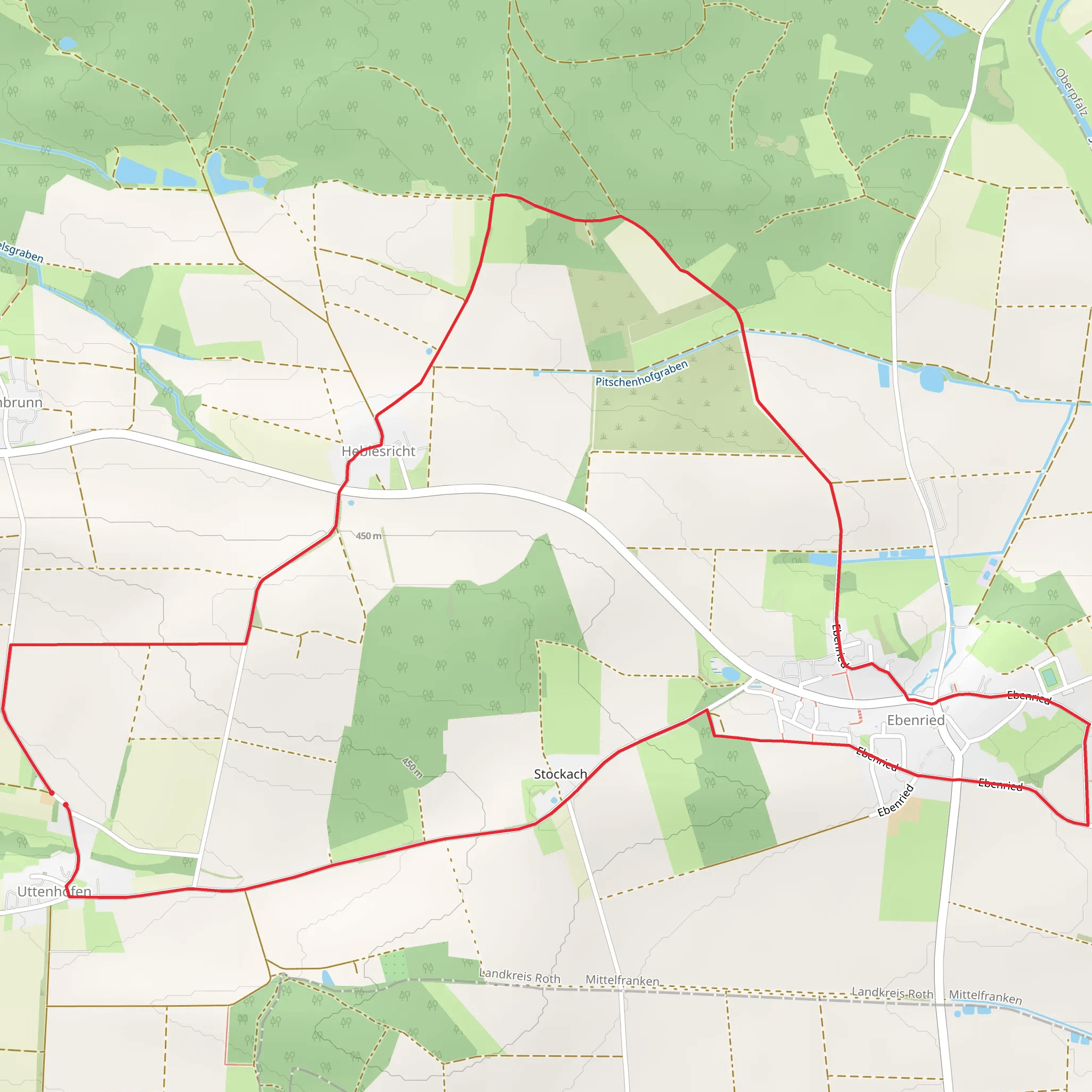
Starting near the charming town of Roth, Germany, the Europaeische Wasserscheide trail offers a delightful 9 km (approximately 5.6 miles) loop with virtually no elevation gain, making it accessible for a wide range of hikers. The trailhead is conveniently located near Roth, which can be reached by car or public transport. If you're driving, you can park at the designated parking area near the trailhead. For those using public transport, take a train to Roth station and then a short bus ride or taxi to the trailhead.### Trail Navigation and TerrainThe Europaeische Wasserscheide trail is well-marked and easy to follow. For navigation, consider using the HiiKER app, which provides detailed maps and real-time GPS tracking to ensure you stay on course. The terrain is predominantly flat, with well-maintained paths that meander through lush forests and open meadows. This makes it an excellent choice for a leisurely hike, suitable for families and casual hikers.### Key Landmarks and Points of InterestAs you embark on this trail, you'll encounter several noteworthy landmarks. Approximately 2 km (1.2 miles) into the hike, you'll come across the Europäische Wasserscheide monument, which marks the continental divide between the Rhine and Danube river basins. This historical marker is a great spot for a quick rest and some photos.Continuing along the trail, around the 4 km (2.5 miles) mark, you'll pass through a picturesque forest area known for its diverse flora and fauna. Keep an eye out for native wildlife such as deer, foxes, and a variety of bird species. The forest is particularly beautiful in the spring and autumn, when the foliage is at its most vibrant.### Historical SignificanceThe region around Roth has a rich history dating back to medieval times. The trail itself follows ancient routes that were once used for trade and travel between different parts of Europe. The Europäische Wasserscheide monument is a testament to the historical importance of this area as a natural boundary.### Practical InformationThe entire loop takes about 2 to 3 hours to complete, depending on your pace and how often you stop to take in the scenery. There are several benches and rest areas along the way, providing ample opportunities to relax and enjoy the natural surroundings. Make sure to bring enough water and snacks, as there are no facilities along the trail.### Getting ThereTo reach the trailhead, if you're driving, set your GPS to Roth, Germany, and follow the signs to the designated parking area near the trailhead. For public transport users, take a train to Roth station. From there, you can catch a local bus or taxi to the trailhead, which is just a short ride away.This trail offers a perfect blend of natural beauty, historical significance, and ease of access, making it a must-visit for anyone in the region.
Comments and Reviews
User comments, reviews and discussions about the Europaeische Wasserscheide, Germany.
average rating out of 5
0 rating(s)
