Download
Preview
Add to list
More
14.1 km
~3 hrs 33 min
443 m
Loop
“Discover diverse landscapes, historical landmarks, and wildlife on the captivating Gangolfsberg via Buchoniarundweg and Rhoen Rundweg Loop.”
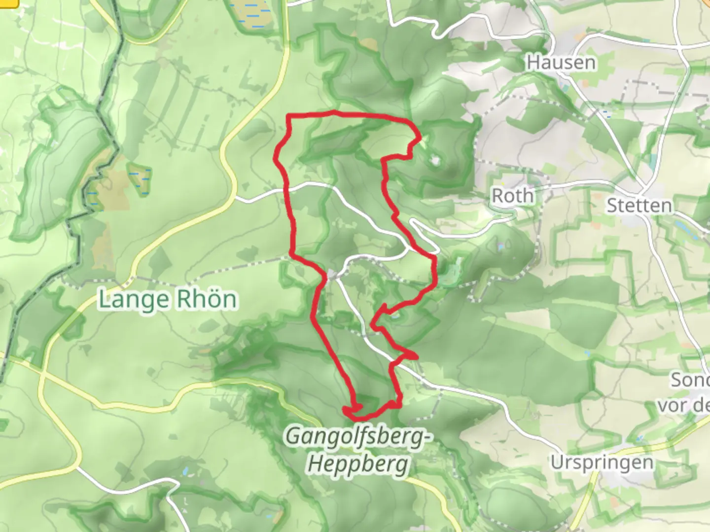
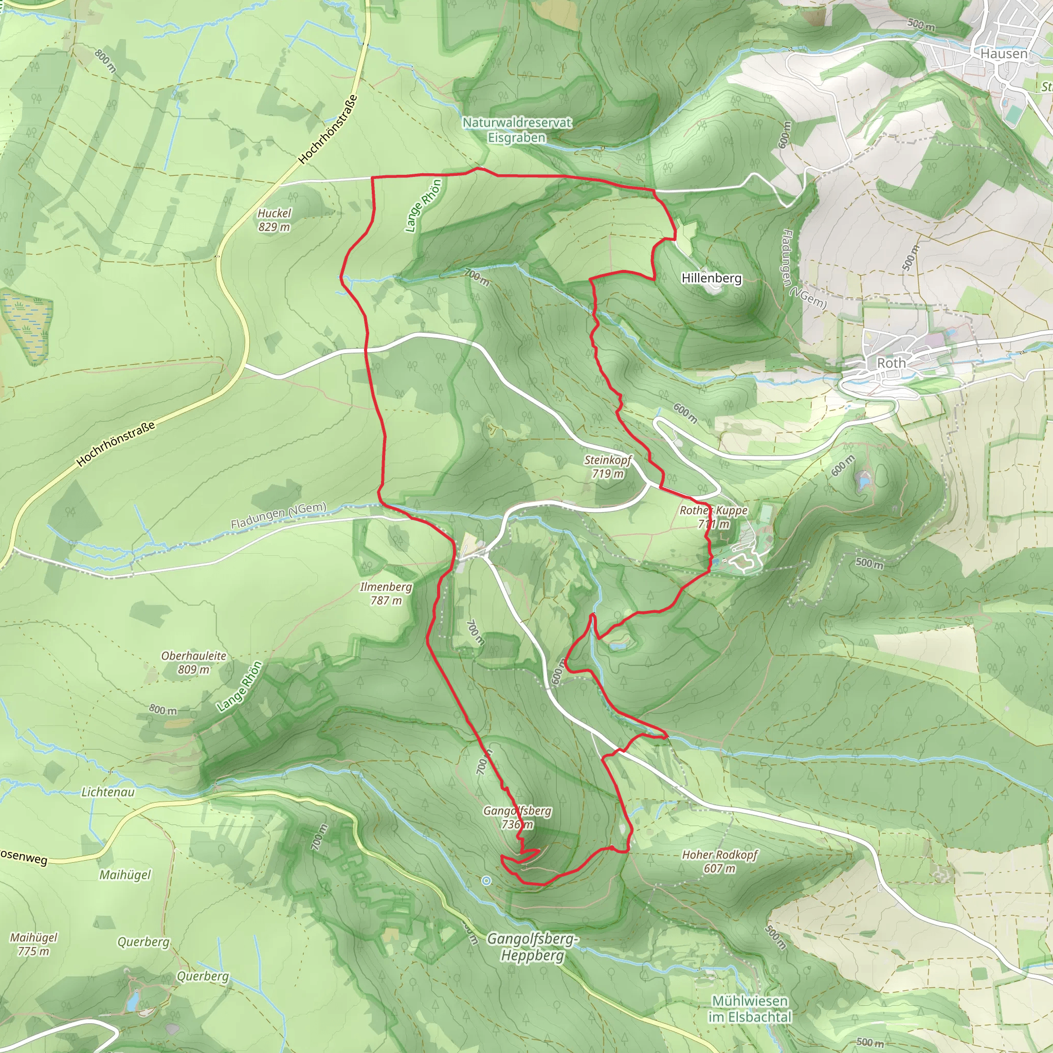
Starting your adventure near Rhön-Grabfeld, Germany, the Gangolfsberg via Buchoniarundweg and Rhoen Rundweg Loop is a captivating 14 km (8.7 miles) loop trail with an elevation gain of approximately 400 meters (1,312 feet). This medium-difficulty trail offers a blend of natural beauty, historical landmarks, and diverse wildlife, making it a rewarding experience for hikers.
Getting There To reach the trailhead, you can either drive or use public transport. If driving, set your GPS to Rhön-Grabfeld, Germany. For those using public transport, take a train to Bad Neustadt (Saale) and then a local bus to Rhön-Grabfeld. The trailhead is conveniently located near the town, making it accessible for all adventurers.
Trail Highlights #### Buchoniarundweg Section Starting from the trailhead, the initial section of the hike follows the Buchoniarundweg. This part of the trail is characterized by dense forests and rolling hills. As you ascend, you'll gain about 200 meters (656 feet) in elevation over the first 5 km (3.1 miles). Keep an eye out for the diverse flora, including beech and oak trees, and listen for the calls of native birds such as the European robin and the black woodpecker.
#### Gangolfsberg Around the 6 km (3.7 miles) mark, you'll reach Gangolfsberg, a basalt mountain that stands as a geological marvel. The basalt columns here are a result of volcanic activity millions of years ago. This area is also home to the Gangolfsberg Nature Reserve, where you might spot rare orchids and other unique plant species. The summit offers panoramic views of the Rhön Mountains, making it a perfect spot for a break and some photography.
#### Historical Significance The region around Gangolfsberg is steeped in history. During the Middle Ages, this area was a significant trade route. You might come across remnants of old trade paths and ancient boundary stones. The nearby village of Oberelsbach, which you can detour to, has a small museum dedicated to the history and culture of the Rhön region.
Rhoen Rundweg Section Continuing on the Rhoen Rundweg, the trail descends gradually, offering a different perspective of the landscape. This section is about 8 km (5 miles) long and features open meadows and pastures. The elevation gain here is more moderate, around 200 meters (656 feet). The meadows are often dotted with wildflowers, especially in the spring and summer months, attracting butterflies and other pollinators.
Wildlife and Nature The Rhön region is a UNESCO Biosphere Reserve, known for its biodiversity. Along the trail, you might encounter red deer, foxes, and various bird species. The area is also famous for its dark skies, making it an excellent spot for stargazing if you plan to stay overnight.
Navigation and Safety For navigation, it's highly recommended to use the HiiKER app, which provides detailed maps and real-time updates. The trail is well-marked, but having a reliable navigation tool ensures you stay on track. Always carry sufficient water, snacks, and a first-aid kit. Weather in the Rhön Mountains can be unpredictable, so pack layers and waterproof gear.
Embarking on the Gangolfsberg via Buchoniarundweg and Rhoen Rundweg Loop offers a rich blend of natural beauty, historical intrigue, and diverse wildlife, making it a must-visit for any hiking enthusiast.
What to expect?
Activity types
Comments and Reviews
User comments, reviews and discussions about the Gangolfsberg via Buchoniarundweg and Rhoen Rundweg Loop, Germany.
average rating out of 5
0 rating(s)
