Download
Preview
Add to list
More
9.5 km
~2 hrs 26 min
318 m
Loop
“Experience the Gangolfsberg via Buchoniarundweg and Rhoen Rundweg: a 10 km blend of nature, history, and wildlife.”
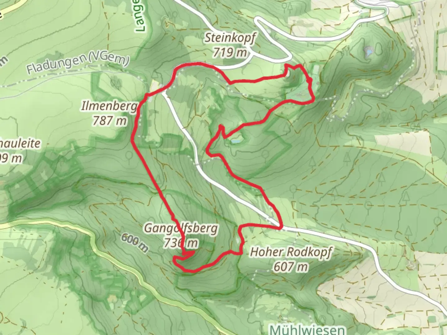
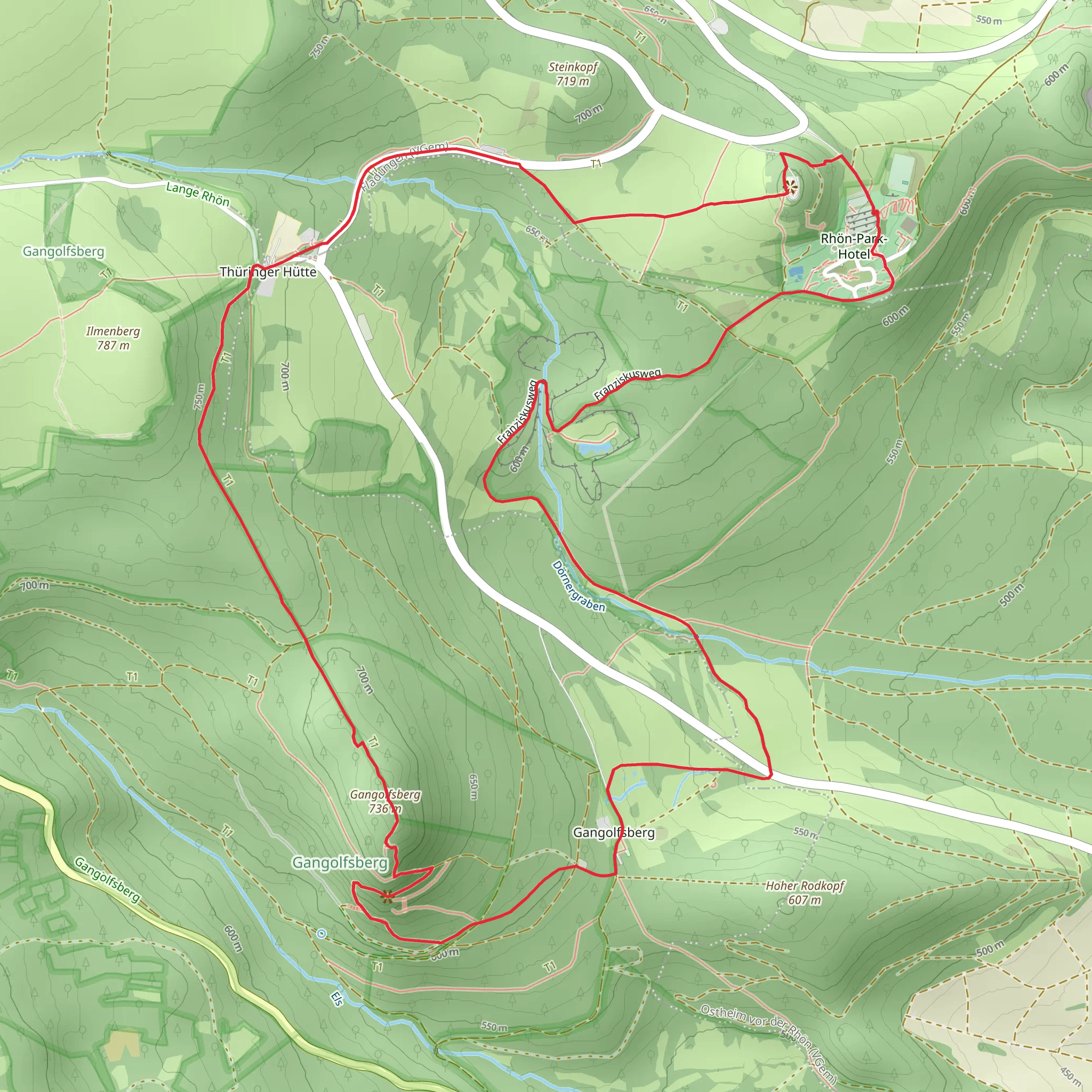
Starting near Rhön-Grabfeld, Germany, the Gangolfsberg via Buchoniarundweg and Rhoen Rundweg is a captivating 10 km (6.2 miles) loop trail with an elevation gain of approximately 300 meters (984 feet). This medium-difficulty hike offers a blend of natural beauty, historical significance, and diverse wildlife, making it a rewarding experience for outdoor enthusiasts.
Getting There To reach the trailhead, you can either drive or use public transport. If driving, set your GPS to Rhön-Grabfeld, Germany. For those using public transport, take a train to Bad Neustadt (Saale) station, and from there, a local bus to Rhön-Grabfeld. The trailhead is conveniently located near the town, making it easily accessible.
Trail Overview The trail begins with a gentle ascent through dense forests, where you’ll be greeted by the serene sounds of nature. As you progress, the path becomes steeper, leading you to the first significant landmark, the basalt columns of Gangolfsberg. These striking geological formations are a testament to the region’s volcanic past and offer a unique photo opportunity.
Historical Significance Gangolfsberg is named after Saint Gangolf, a Frankish knight and martyr. The area is steeped in history, with remnants of ancient settlements and medieval structures scattered along the trail. Keep an eye out for the ruins of old fortifications, which provide a glimpse into the region’s storied past.
Flora and Fauna The trail is rich in biodiversity. In the spring and summer months, the forest floor is carpeted with wildflowers, including orchids and lilies. Birdwatchers will be delighted by the variety of species, such as woodpeckers, owls, and songbirds. Deer and foxes are also commonly spotted, so keep your camera ready.
Key Landmarks - **Gangolfsberg Basalt Columns**: Approximately 3 km (1.9 miles) into the hike, you’ll encounter these impressive natural structures. Take a moment to explore and appreciate their unique formation. - **Rhoen Rundweg**: This section of the trail offers panoramic views of the Rhön Mountains. The elevation gain here is around 150 meters (492 feet), providing a moderate challenge. - **Buchoniarundweg**: Named after the ancient Buchonia region, this part of the trail is characterized by lush meadows and rolling hills. It’s a great spot for a picnic or a rest.
Navigation and Safety To ensure you stay on track, use the HiiKER app for precise navigation. The trail is well-marked, but having a reliable navigation tool will enhance your hiking experience. Wear sturdy hiking boots, as some sections can be rocky and uneven. Carry enough water and snacks, especially during warmer months.
Final Stretch The last leg of the trail descends gently back towards Rhön-Grabfeld. As you make your way down, you’ll pass through picturesque villages and farmland, offering a peaceful end to your hike. The entire loop takes around 3-4 hours to complete, depending on your pace and the number of stops you make.
This trail is a perfect blend of natural beauty, historical intrigue, and moderate physical challenge, making it a must-visit for hikers exploring the Rhön region.
What to expect?
Activity types
Comments and Reviews
User comments, reviews and discussions about the Gangolfsberg via Buchoniarundweg and Rhoen Rundweg, Germany.
4.67
average rating out of 5
3 rating(s)
