WisperSee and Wisperer Heide and Roderkopf Loop via Wisper Gefluster
Download
Preview
Add to list
More
8.4 km
~2 hrs 5 min
242 m
Loop
“Explore WisperSee's natural beauty and history on an 8 km moderately challenging loop in Rheingau-Taunus-Kreis.”
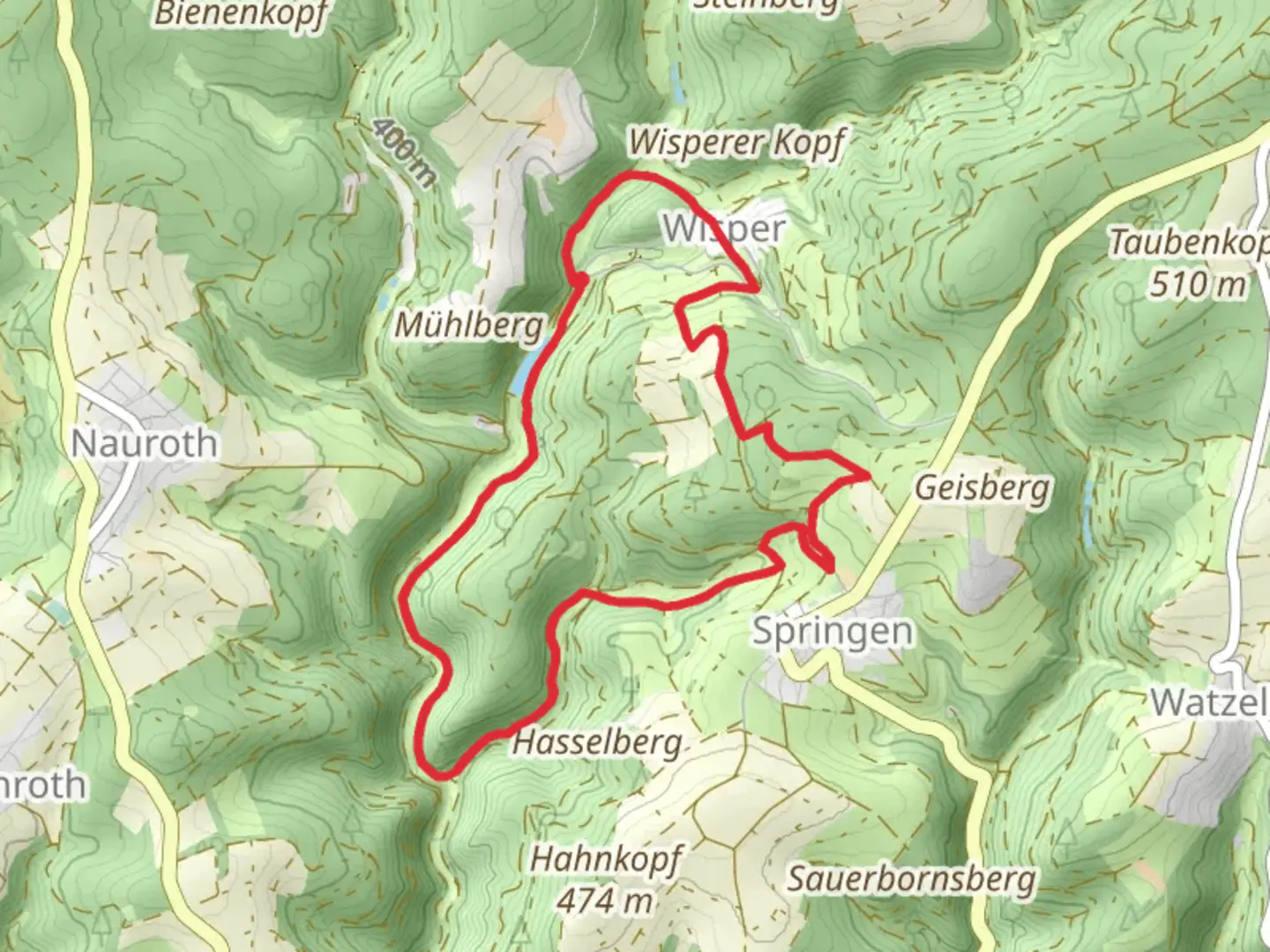
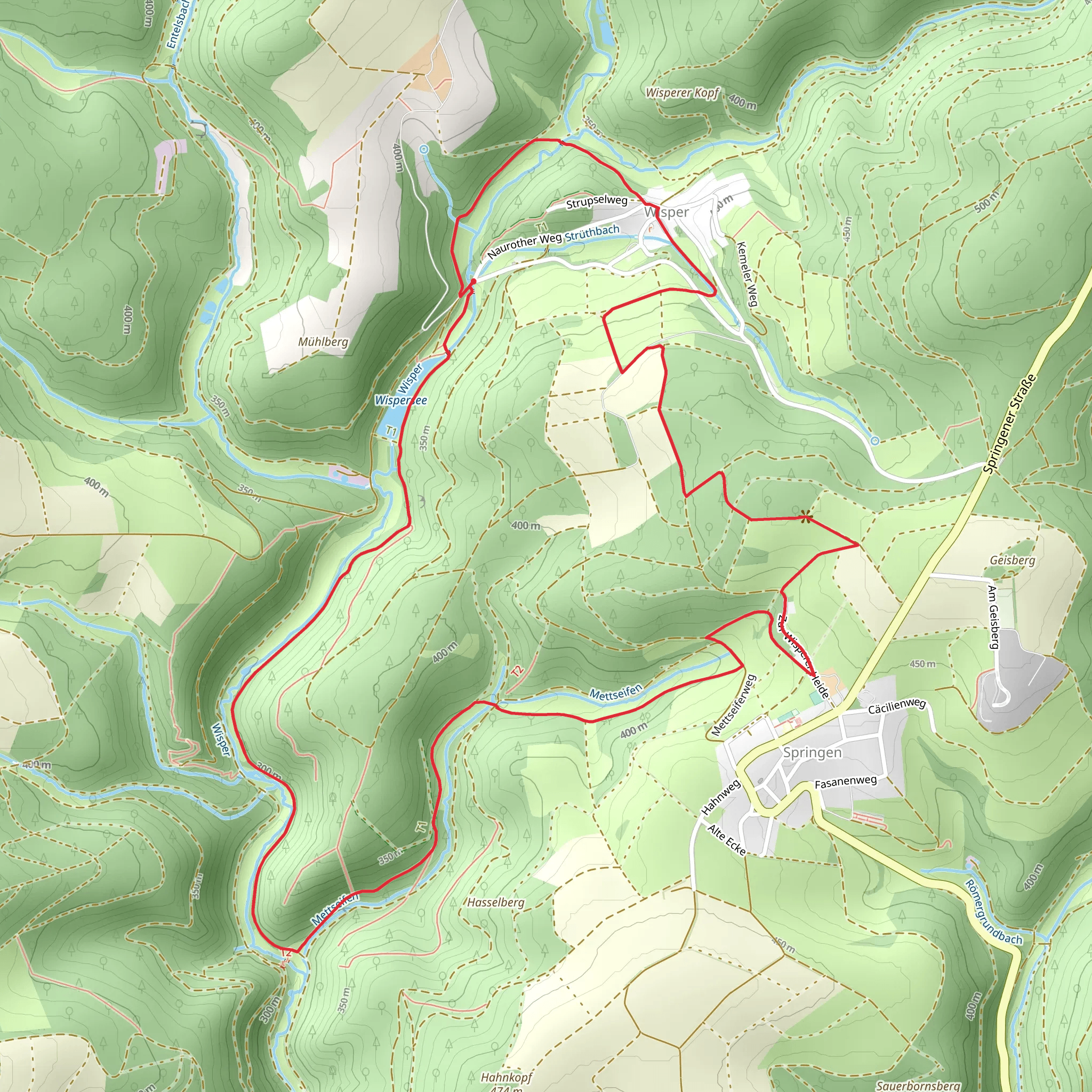
Starting your adventure near Rheingau-Taunus-Kreis, Germany, the WisperSee and Wisperer Heide and Roderkopf Loop via Wisper Gefluster is an 8 km (approximately 5 miles) loop trail with an elevation gain of around 200 meters (656 feet). This medium-difficulty trail offers a blend of natural beauty, historical significance, and a moderate challenge suitable for most hikers.
Getting There To reach the trailhead, you can drive or use public transportation. If driving, set your GPS to the nearest known address: Wisperstraße, 65388 Schlangenbad, Germany. For those using public transport, take a train to Wiesbaden and then a bus towards Schlangenbad, getting off at the Wisperstraße stop. From there, it's a short walk to the trailhead.
Trail Overview The loop begins with a gentle ascent through a mixed forest, where you'll be surrounded by towering trees and the soothing sounds of the Wisper River. The first kilometer (0.6 miles) is relatively easy, allowing you to warm up and enjoy the serene environment.
WisperSee At around the 2 km (1.2 miles) mark, you'll reach WisperSee, a picturesque lake that offers a perfect spot for a short break. The lake is home to various bird species, so keep your binoculars handy for some bird-watching. The elevation gain here is minimal, making it an ideal place to catch your breath and take in the scenery.
Wisperer Heide Continuing on, you'll enter the Wisperer Heide, a heathland area known for its unique flora. This section of the trail is relatively flat, but the terrain can be uneven, so watch your step. The heathland is particularly beautiful in late summer when the heather is in full bloom, painting the landscape in shades of purple and pink.
Roderkopf As you approach the 5 km (3.1 miles) mark, the trail begins to ascend towards Roderkopf. This is the most challenging part of the hike, with a steady climb that will test your endurance. The elevation gain here is about 100 meters (328 feet) over a distance of 1 km (0.6 miles). Once you reach the summit, you'll be rewarded with panoramic views of the surrounding countryside, making the effort well worth it.
Historical Significance The region around Rheingau-Taunus-Kreis is steeped in history. The Wisper Valley has been inhabited since Roman times, and you may come across remnants of ancient settlements along the trail. Keep an eye out for old stone walls and foundations, which are silent witnesses to the area's rich past.
Wildlife and Flora The trail is home to a variety of wildlife, including deer, foxes, and numerous bird species. The mixed forest sections are dominated by oak, beech, and pine trees, while the heathland areas are rich in heather, gorse, and wildflowers. Depending on the season, you might also spot mushrooms and other fungi.
Navigation For navigation, it's highly recommended to use the HiiKER app, which provides detailed maps and real-time updates to ensure you stay on track. The trail is well-marked, but having a reliable navigation tool can enhance your hiking experience.
Final Stretch The final 2 km (1.2 miles) of the loop take you back through a dense forest, gradually descending towards the trailhead. This section is relatively easy, allowing you to cool down and reflect on the diverse landscapes you've traversed.
This 8 km loop offers a well-rounded hiking experience, combining natural beauty, moderate physical challenge, and a touch of historical intrigue. Whether you're a seasoned hiker or a casual walker, this trail has something to offer everyone.
What to expect?
Activity types
Comments and Reviews
User comments, reviews and discussions about the WisperSee and Wisperer Heide and Roderkopf Loop via Wisper Gefluster, Germany.
4.33
average rating out of 5
3 rating(s)
