Download
Preview
Add to list
More
11.4 km
~2 hrs 48 min
316 m
Point-to-Point
“Embark on an 11 km journey through Rheingau-Taunus-Kreis, blending natural beauty with historical intrigue.”
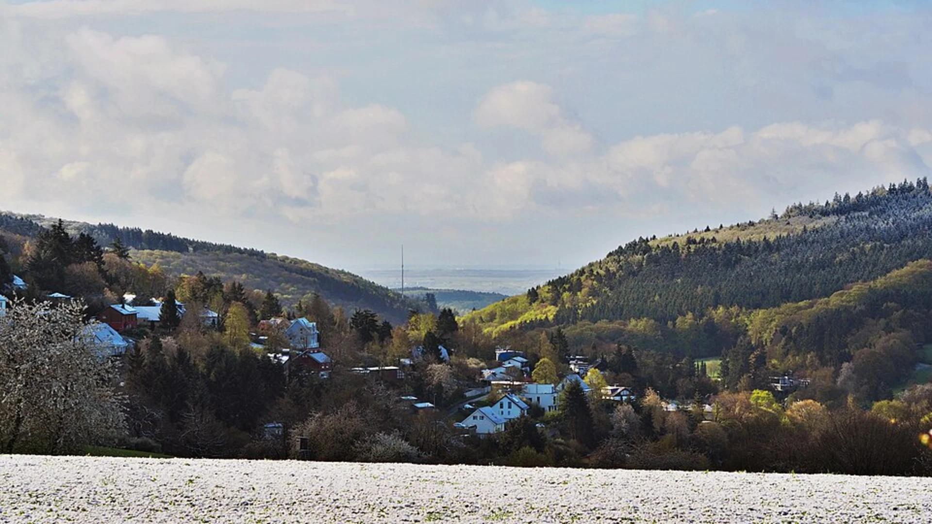
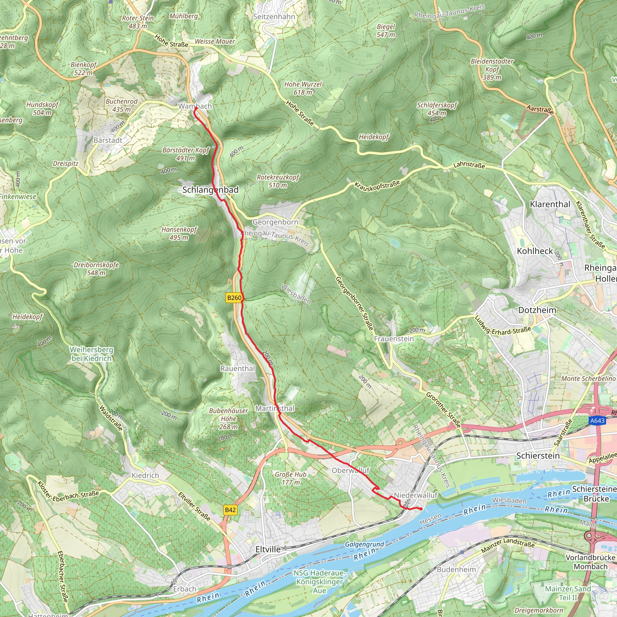
Starting near the picturesque region of Rheingau-Taunus-Kreis in Germany, this 11 km (approximately 6.8 miles) point-to-point trail offers a delightful mix of natural beauty and historical intrigue. With an elevation gain of around 300 meters (approximately 984 feet), the trail is rated as medium difficulty, making it suitable for moderately experienced hikers.### Getting There To reach the trailhead, you can either drive or use public transport. If driving, set your GPS to Rheingau-Taunus-Kreis, and look for parking options near the starting point. For those using public transport, the nearest significant landmark is the Niederwalluf train station. From there, local buses or a short taxi ride will get you to the trailhead.### Trail Overview The trail begins in the charming village of Niederwalluf, known for its vineyards and scenic views of the Rhine River. As you set off, you'll be greeted by a gentle ascent through lush forests and open meadows. The initial 2 km (1.2 miles) offer a gradual climb, allowing you to acclimate to the terrain while enjoying the serene surroundings.### Key Landmarks and Points of Interest Around the 3 km (1.9 miles) mark, you'll come across the historic Walluf Castle ruins. These remnants of medieval architecture provide a glimpse into the region's storied past. Take a moment to explore the ruins and imagine the lives of those who once inhabited this fortress.Continuing along the trail, you'll pass through dense woodlands teeming with local wildlife. Keep an eye out for deer, foxes, and a variety of bird species that call this area home. The forest canopy provides ample shade, making this section particularly enjoyable during warmer months.### Mid-Trail Highlights At approximately 6 km (3.7 miles), you'll reach a scenic overlook offering panoramic views of the Taunus Mountains. This is an ideal spot for a rest break and some photography. The elevation gain here is noticeable, but the reward is well worth the effort.As you descend from the overlook, the trail meanders through a series of small streams and brooks. These water features add a refreshing element to the hike, and the sound of flowing water enhances the tranquil atmosphere.### Final Stretch The last 2 km (1.2 miles) of the trail lead you into the quaint village of Wambach. Here, you'll find the Wambach Mill, a historical landmark that has been meticulously preserved. The mill offers a fascinating look into the region's agricultural history and is a fitting end to your journey.### Navigation and Safety For navigation, it's highly recommended to use the HiiKER app, which provides detailed maps and real-time updates. The trail is well-marked, but having a reliable navigation tool ensures you stay on course.### Flora and Fauna Throughout the hike, you'll encounter a diverse range of flora, including oak, beech, and pine trees. Seasonal wildflowers add bursts of color to the landscape, making spring and summer particularly vibrant times to visit.### Historical Significance The Rheingau-Taunus-Kreis region is steeped in history, with roots tracing back to Roman times. The trail itself passes through areas that have been inhabited for centuries, offering a unique blend of natural beauty and historical depth.This trail provides a well-rounded hiking experience, combining moderate physical challenge with rich cultural and natural elements. Whether you're a history buff, a nature enthusiast, or simply looking for a rewarding hike, this trail has something to offer.
Comments and Reviews
User comments, reviews and discussions about the Niederwalluf to WambachMuehlenwanderweg, Germany.
5.0
average rating out of 5
1 rating(s)

