Download
Preview
Add to list
More
5.3 km
~1 hrs 7 min
44 m
Loop
“Discover a 5 km loop trail near Rhein-Sieg-Kreis, blending Roman history with lush nature and varied terrain.”
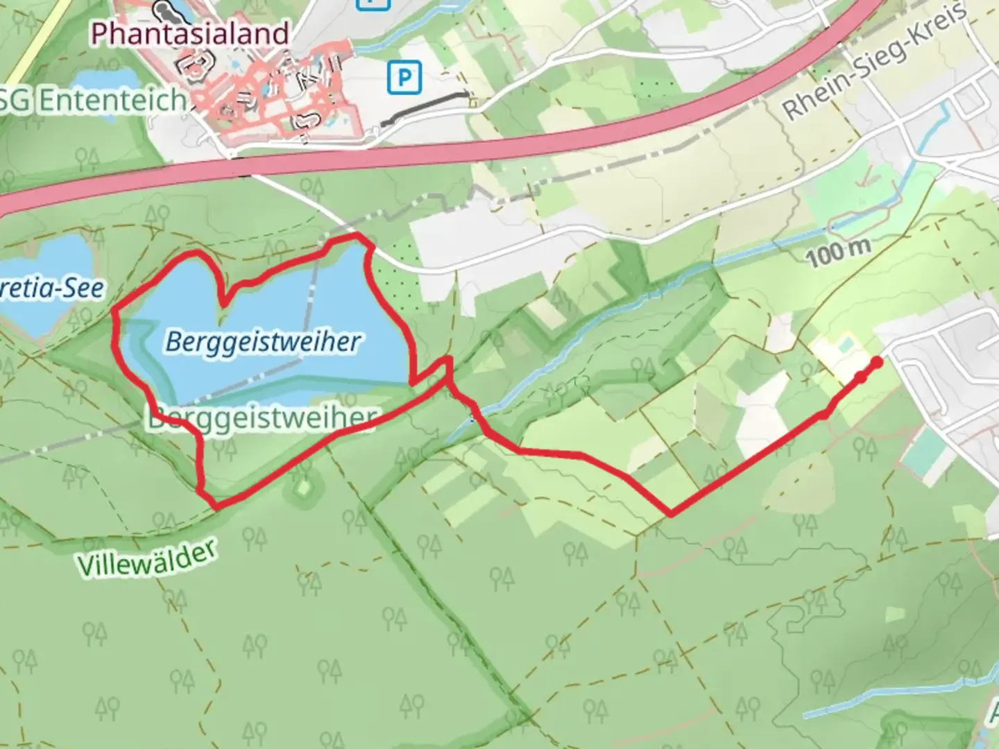
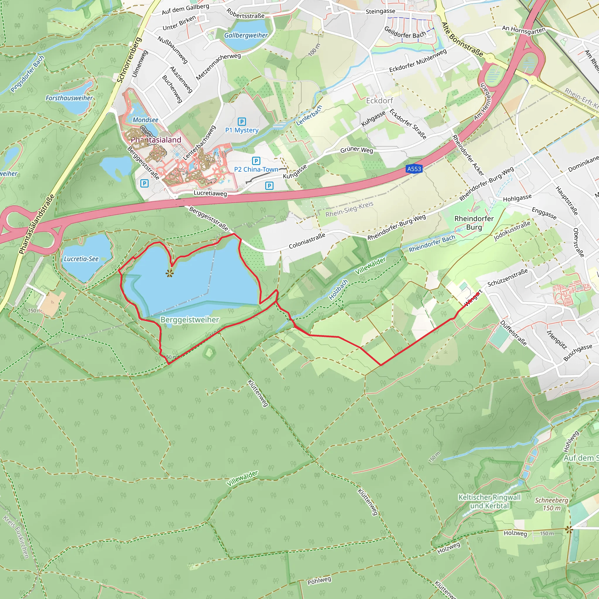
Starting near the Rhein-Sieg-Kreis in Germany, this 5 km (approximately 3.1 miles) loop trail offers a delightful mix of natural beauty and historical intrigue. With no significant elevation gain, this trail is accessible to a wide range of hikers, though it is rated as medium difficulty due to its varied terrain.
Getting There To reach the trailhead, you can drive or use public transport. If driving, set your GPS to the nearest known address: Berggeistweiher, 53894 Mechernich, Germany. For those using public transport, take a train to Mechernich station, from where you can catch a local bus or taxi to the trailhead.
Trail Highlights The trail begins near the serene Berggeistweiher pond, a perfect spot to start your journey. As you set off, you'll be walking along the Römerkanal Wanderweg, a path steeped in history. This ancient Roman aqueduct once supplied water to the city of Cologne, and remnants of this engineering marvel can still be seen along the trail.
Historical Significance Approximately 1 km (0.6 miles) into the hike, you'll encounter the first significant landmark: a well-preserved section of the Roman aqueduct. This structure, built around 80 AD, is a testament to the ingenuity of Roman engineering. Informational plaques along the way provide fascinating insights into how the aqueduct was constructed and its importance to the region.
Nature and Wildlife As you continue, the trail meanders through lush forests and open meadows. Keep an eye out for local wildlife such as deer, foxes, and a variety of bird species. The diverse flora includes ancient oak and beech trees, which provide ample shade and a sense of tranquility.
Navigation The trail is well-marked, but it's always a good idea to have a reliable navigation tool. The HiiKER app is highly recommended for this purpose, offering detailed maps and real-time tracking to ensure you stay on course.
Midpoint and Beyond Around the 2.5 km (1.5 miles) mark, you'll reach the midpoint of the loop. Here, you'll find a small picnic area, an ideal spot to take a break and enjoy the natural surroundings. From this point, the trail begins to loop back towards the starting point, offering new perspectives and vistas.
Final Stretch As you near the end of the loop, the trail takes you past more sections of the Roman aqueduct, each offering unique views and photo opportunities. The final stretch brings you back to Berggeistweiher pond, where you can relax and reflect on your hike.
This trail offers a perfect blend of history, nature, and moderate physical activity, making it a rewarding experience for hikers of all levels.
What to expect?
Activity types
Comments and Reviews
User comments, reviews and discussions about the Berggeistweiher Loop via Römerkanal Wanderweg, Germany.
4.0
average rating out of 5
1 rating(s)
