Download
Preview
Add to list
More
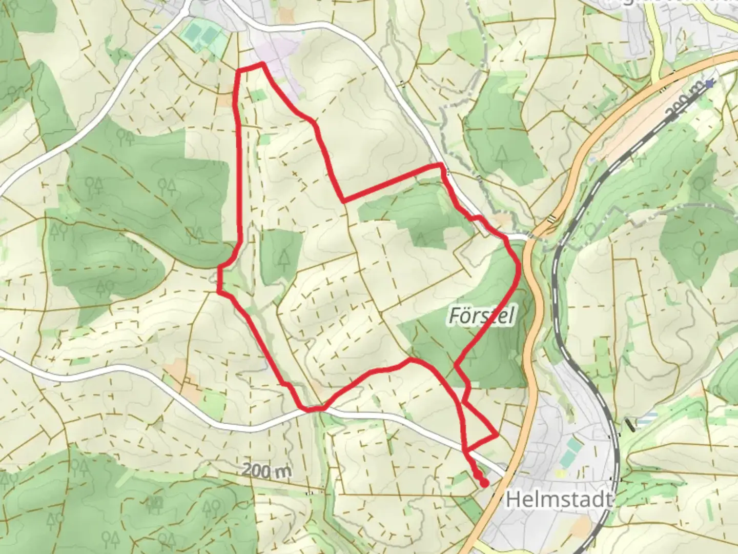
9.4 km
~2 hrs 12 min
193 m
Loop
“Explore the Rhein-Neckar-Kreis trail's natural beauty and Roman history on a moderately challenging 10 km hike.”
Starting near the picturesque region of Rhein-Neckar-Kreis in Germany, this 10 km (approximately 6.2 miles) trail offers a delightful mix of natural beauty and historical intrigue. With an elevation gain of around 100 meters (328 feet), the trail is estimated to be of medium difficulty, making it suitable for moderately experienced hikers.
Getting There To reach the trailhead, you can either drive or use public transport. If driving, set your GPS to the nearest known address: the town of Wiesloch, which is well-connected by road. For those preferring public transport, Wiesloch-Walldorf station is the closest major railway station. From there, local buses can take you to the trailhead area.
Trail Overview The trail is point-to-point, meaning you'll start and end at different locations. The journey begins near Wiesloch and meanders through a variety of landscapes, including dense forests, open meadows, and charming rural areas.
Key Landmarks and Nature - **Wiesloch Forest**: About 2 km (1.2 miles) into the hike, you'll enter the Wiesloch Forest. This dense woodland is home to a variety of flora and fauna. Keep an eye out for deer and a variety of bird species. - **Historical Sites**: Around the 5 km (3.1 miles) mark, you'll come across remnants of old Roman roads and possibly some ancient ruins. This area is rich in history, dating back to the Roman Empire, and offers a fascinating glimpse into the past. - **Scenic Meadows**: As you approach the 7 km (4.3 miles) point, the trail opens up into expansive meadows. These areas are perfect for a short break and offer stunning views of the surrounding countryside.
Navigation and Safety Given the trail's moderate difficulty, it's advisable to use a reliable navigation tool like HiiKER to keep track of your progress and ensure you stay on the correct path. The trail is generally well-marked, but having a digital map can be very helpful, especially in the forested sections where paths can be less distinct.
Wildlife and Flora The trail is a haven for nature enthusiasts. In the forested areas, you might encounter deer, foxes, and a variety of bird species. The meadows are often filled with wildflowers, especially in the spring and summer months, adding a splash of color to your hike.
Final Stretch The last 3 km (1.9 miles) of the trail take you through a mix of forest and open fields, gradually descending towards the endpoint. This section is relatively easier, allowing you to enjoy the final leg of your journey at a more relaxed pace.
Practical Tips - **Footwear**: Given the mixed terrain, sturdy hiking boots are recommended. - **Water and Snacks**: Carry enough water and some snacks, especially if you plan to take breaks along the way. - **Weather**: Check the weather forecast before you set out, as conditions can change rapidly.
This trail offers a balanced mix of natural beauty and historical significance, making it a rewarding experience for those who undertake it.

Comments and Reviews
User comments, reviews and discussions about the Planweg, Germany.
average rating out of 5
0 rating(s)