Download
Preview
Add to list
More
7.3 km
~1 hrs 52 min
253 m
Loop
“Experience a scenic 7 km loop in Germany’s Rhein-Neckar-Kreis, blending nature, history, and moderate challenge.”
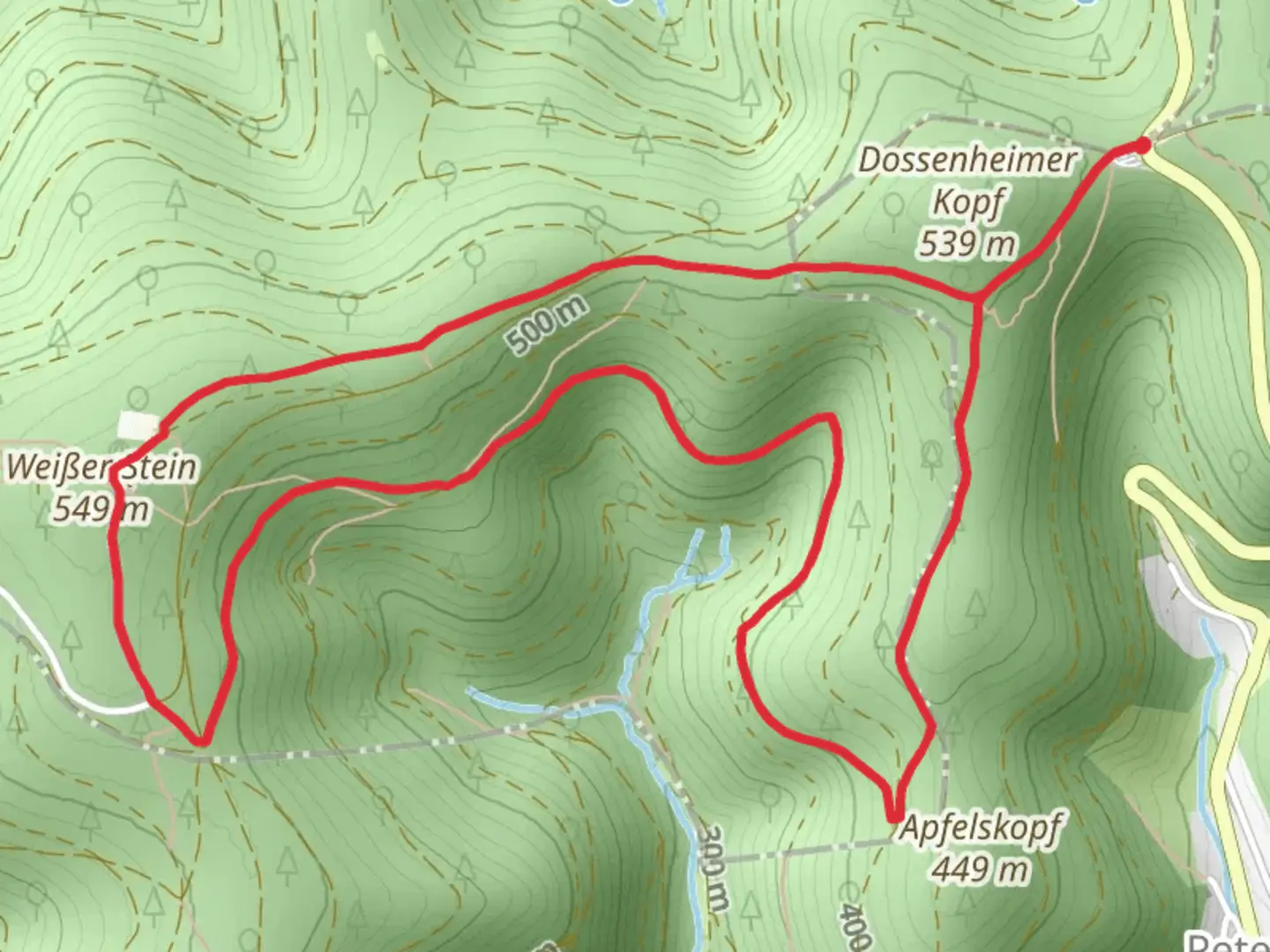
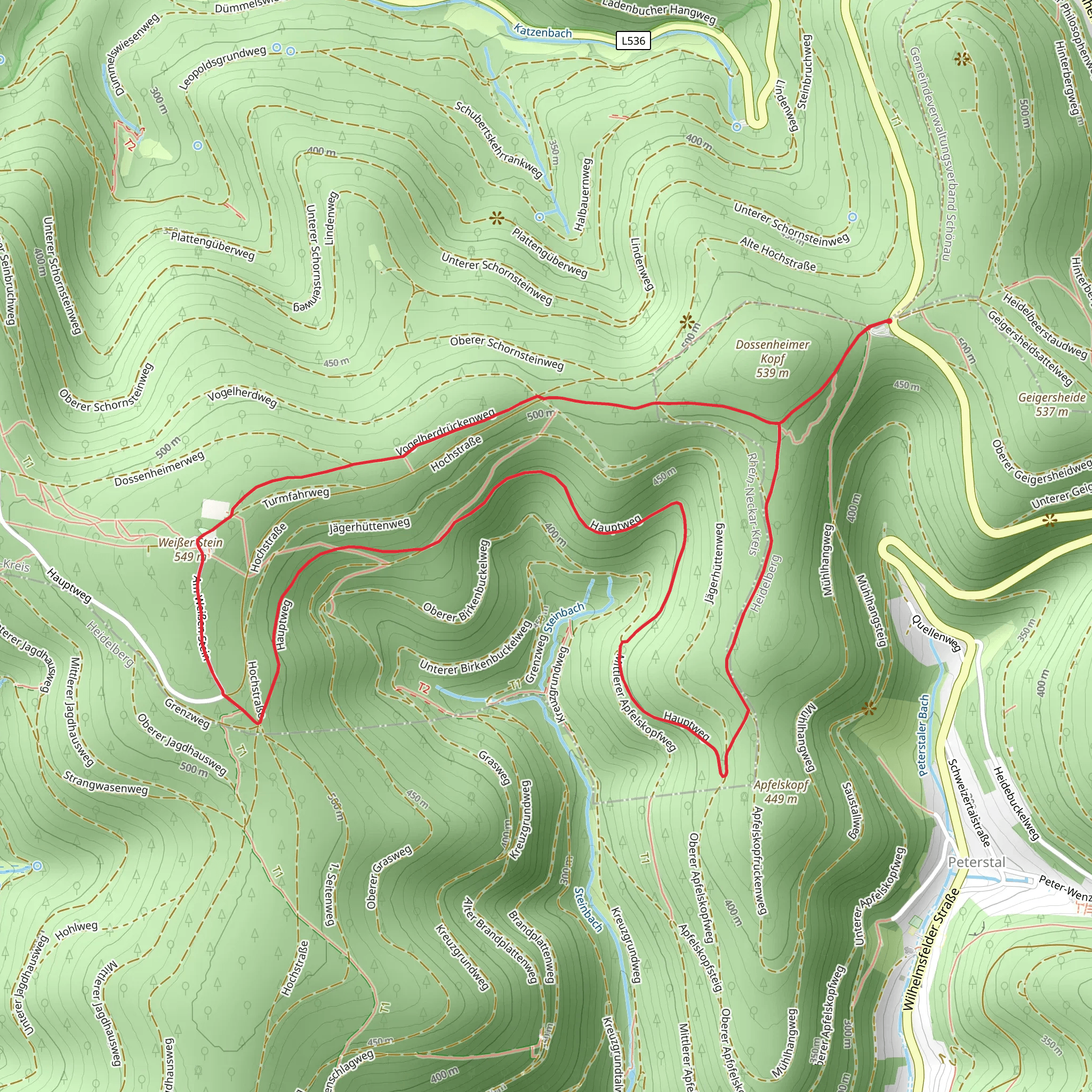
Starting near the picturesque region of Rhein-Neckar-Kreis in Germany, this 7 km (approximately 4.3 miles) loop trail offers a delightful mix of natural beauty and historical intrigue. With an elevation gain of around 200 meters (656 feet), the Camino Incluso and Hauptweg trail is rated as medium difficulty, making it suitable for moderately experienced hikers.
Getting There To reach the trailhead, you can either drive or use public transport. If driving, set your GPS to the nearest known address: the village of Wilhelmsfeld, which is well-signposted and has ample parking facilities. For those using public transport, take a train to Heidelberg Hauptbahnhof and then a bus to Wilhelmsfeld. The bus ride offers scenic views and takes about 30 minutes.
Trail Navigation For navigation, it is highly recommended to use the HiiKER app, which provides detailed maps and real-time updates. The trail is well-marked, but having a reliable navigation tool ensures you stay on track.
Trail Highlights #### Nature and Wildlife The trail meanders through dense forests and open meadows, offering a rich tapestry of flora and fauna. Keep an eye out for native wildlife such as deer, foxes, and a variety of bird species. The forested sections are particularly enchanting, with tall trees providing a canopy that filters the sunlight, creating a serene atmosphere.
#### Historical Significance One of the most significant landmarks along the trail is the ruins of the St. Michael's Chapel, located approximately 3 km (1.86 miles) into the hike. This chapel dates back to the 12th century and offers a glimpse into the region's medieval past. The ruins are well-preserved and provide a perfect spot for a short break and some exploration.
Elevation and Terrain The trail starts with a gentle ascent, gaining about 100 meters (328 feet) in the first 2 km (1.24 miles). This section is relatively easy and offers panoramic views of the surrounding countryside. The next 3 km (1.86 miles) involve a steeper climb, adding another 100 meters (328 feet) of elevation. This part of the trail can be challenging, especially after rain, as the path can become slippery. Proper hiking boots with good grip are recommended.
Points of Interest #### Aussichtspunkt Wilhelmsfeld Around the 5 km (3.1 miles) mark, you'll reach the Aussichtspunkt Wilhelmsfeld, a viewpoint that offers stunning vistas of the Odenwald forest and the Rhine Valley. This is an ideal spot for photography and a well-deserved rest.
#### Local Flora The trail is also a haven for botany enthusiasts. Depending on the season, you can find a variety of wildflowers, including orchids and lilies. The meadows are particularly vibrant in spring and early summer.
Final Stretch The last 2 km (1.24 miles) of the trail are a gentle descent back to the starting point. This section is relatively easy and allows you to cool down while enjoying the tranquil surroundings. The loop nature of the trail ensures you end up where you started, making logistics simple.
Preparation Tips - **Footwear:** Sturdy hiking boots are essential, especially for the steeper sections. - **Water:** Carry at least 1.5 liters of water per person. - **Snacks:** Energy bars and fruits are good options for quick energy boosts. - **Weather:** Check the weather forecast before heading out, as conditions can change rapidly. - **Navigation:** Use the HiiKER app for real-time navigation and updates.
This trail offers a perfect blend of natural beauty, historical landmarks, and moderate physical challenge, making it a rewarding experience for those who venture onto it.
Comments and Reviews
User comments, reviews and discussions about the Camino Incluso and Hauptweg, Germany.
4.0
average rating out of 5
1 rating(s)
