Download
Preview
Add to list
More
4.6 km
~1 hrs 6 min
117 m
Loop
“The Gemündener Höhe Loop offers a scenic 5 km hike with historical landmarks and diverse flora and fauna.”
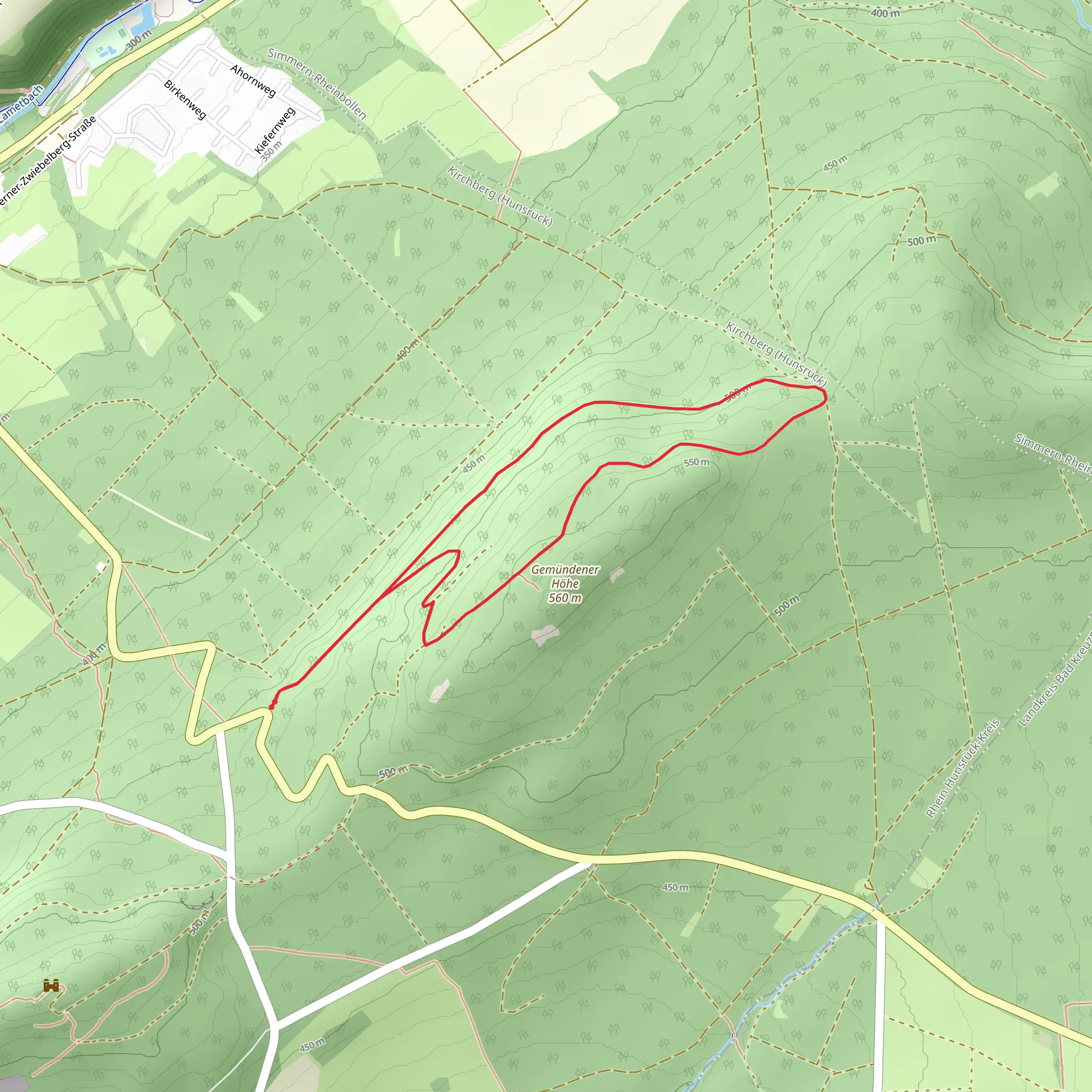
Starting near the picturesque town of Rhein-Hunsrück-Kreis in Germany, the Gemündener Höhe Loop is a delightful 5 km (3.1 miles) trail that offers a moderate challenge with an elevation gain of approximately 100 meters (328 feet). This loop trail is perfect for those looking to immerse themselves in the serene beauty of the German countryside while enjoying a manageable hike.
Getting There To reach the trailhead, you can either drive or use public transport. If you're driving, set your GPS to the nearest known address: Gemündener Höhe, 55490 Gemünden, Germany. There is ample parking available near the trailhead. For those using public transport, take a train to Simmern (Hunsrück) station, and from there, you can catch a local bus to Gemünden. The bus ride is short and offers scenic views of the surrounding countryside.
Trail Overview The trail begins near the Gemündener Höhe, a well-known local landmark. As you start your hike, you'll be greeted by a gentle ascent through lush forests and open meadows. The initial part of the trail is relatively easy, making it a great warm-up for the more challenging sections ahead.
Flora and Fauna The Gemündener Höhe Loop is rich in biodiversity. As you hike, you'll encounter a variety of plant species, including oak, beech, and pine trees. The underbrush is teeming with wildflowers, especially in the spring and summer months. Keep an eye out for local wildlife such as deer, foxes, and a variety of bird species. The area is also known for its butterflies, adding a splash of color to your hike.
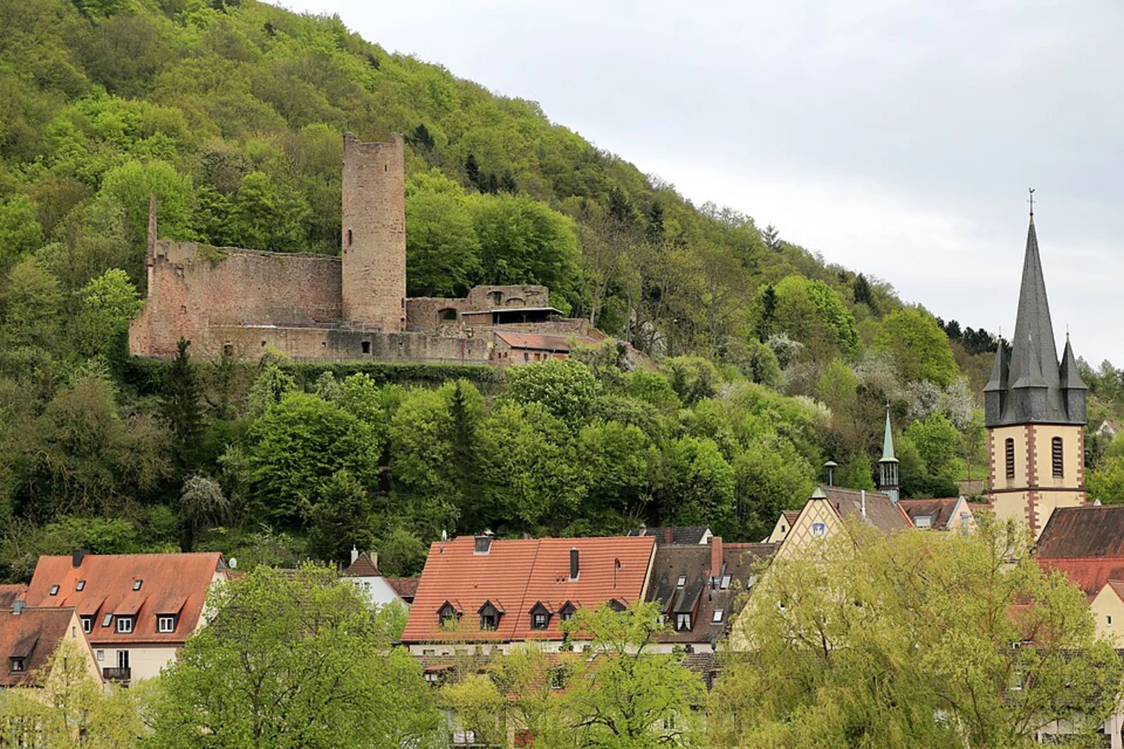
Significant Landmarks Around the 2 km (1.2 miles) mark, you'll come across the historic Gemündener Höhe Tower. This tower offers panoramic views of the surrounding Hunsrück region and is a great spot for a short break. The tower dates back to the early 20th century and has been a popular lookout point for both locals and tourists.
Continuing on, you'll pass by several small streams and brooks, which add a soothing soundtrack to your hike. These water features are particularly beautiful after a rainfall, as they swell and create small waterfalls.
Historical Significance The Hunsrück region has a rich history dating back to Roman times. As you hike, you'll notice remnants of ancient Roman roads and possibly even some old stone markers. The area was also significant during the medieval period, serving as a trade route. The Gemündener Höhe itself has been a strategic lookout point for centuries, offering views that were crucial for monitoring the surrounding area.
Navigation and Safety The trail is well-marked, but it's always a good idea to have a reliable navigation tool. HiiKER is an excellent app for this purpose, providing detailed maps and real-time updates. The trail can be slippery after rain, so wear appropriate footwear and be cautious on the steeper sections.
Final Stretch As you near the end of the loop, the trail descends gently back towards the starting point. This section offers more open views of the countryside, with rolling hills and distant villages creating a picturesque backdrop. The final kilometer is relatively flat, allowing you to cool down and reflect on the beauty you've just experienced.
The Gemündener Höhe Loop is a rewarding hike that combines natural beauty, historical significance, and a moderate physical challenge. Whether you're a seasoned hiker or a casual walker, this trail offers something for everyone.
What to expect?
Activity types
Comments and Reviews
User comments, reviews and discussions about the Gemündener Höhe Loop, Germany.
4.5
average rating out of 5
4 rating(s)

