Download
Preview
Add to list
More
4.6 km
~1 hrs 7 min
119 m
Loop
“Embark on the Gemündener Höhe Circle for scenic views, historical sites, and a moderate hiking challenge.”
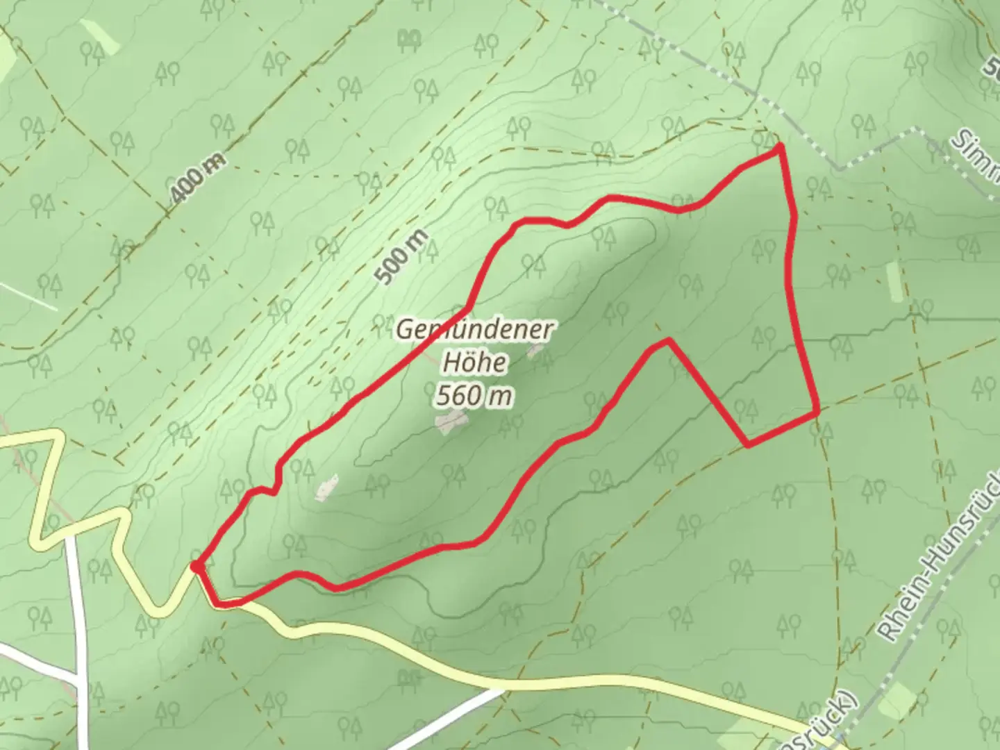
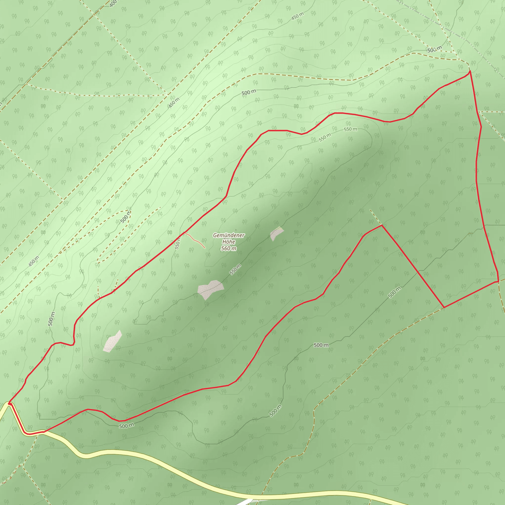
Starting near the picturesque town of Rhein-Hunsrück-Kreis in Germany, the Gemündener Höhe Circle is a delightful 5 km (3.1 miles) loop trail with an elevation gain of approximately 100 meters (328 feet). This trail is rated as medium difficulty, making it accessible for most hikers with a moderate level of fitness.
Getting There To reach the trailhead, you can either drive or use public transport. If you're driving, set your GPS to the town of Rhein-Hunsrück-Kreis, where ample parking is available near the trail's starting point. For those using public transport, take a train to the nearest station in Simmern, and from there, a local bus or taxi can take you to the trailhead.
Trail Navigation For navigation, it's highly recommended to use the HiiKER app, which provides detailed maps and real-time updates to ensure you stay on track.
Trail Highlights As you embark on the Gemündener Höhe Circle, you'll be greeted by a variety of landscapes, from dense forests to open meadows. The trail is well-marked, but always keep an eye out for the distinctive trail markers to stay on the correct path.
#### Flora and Fauna The trail is rich in biodiversity. In the spring and summer months, you'll find a plethora of wildflowers, including orchids and lilies, adding vibrant colors to the scenery. The forested sections are home to a variety of bird species, so bring your binoculars if you're a bird-watching enthusiast. Deer and foxes are also commonly spotted in the area.
#### Historical Significance The region around Rhein-Hunsrück-Kreis is steeped in history. As you hike, you'll come across remnants of ancient Roman roads and medieval fortifications. These historical landmarks offer a glimpse into the past and add an educational element to your hike.
Key Landmarks - **Gemündener Höhe Summit**: Approximately 2.5 km (1.55 miles) into the hike, you'll reach the summit of Gemündener Höhe. At an elevation of around 500 meters (1,640 feet), this spot offers panoramic views of the surrounding Hunsrück region. It's an excellent place to take a break and enjoy the scenery. - **Forest Chapel**: About 3.5 km (2.17 miles) into the trail, you'll find a quaint forest chapel. This small, serene spot is perfect for a moment of reflection or a quick rest. - **Observation Tower**: Near the end of the loop, around the 4.5 km (2.8 miles) mark, there's an observation tower that provides a 360-degree view of the landscape. Climb to the top for a breathtaking vista that stretches for miles.
Trail Conditions The trail is generally well-maintained, but after heavy rains, some sections can become muddy and slippery. Good hiking boots with adequate grip are recommended. There are a few steep sections, but they are short and manageable with a moderate level of fitness.
Safety and Preparation Always carry enough water, especially during the warmer months, as there are limited water sources along the trail. A small first-aid kit and some snacks are also advisable. Mobile reception can be spotty in some areas, so downloading the trail map on HiiKER before you start is a good idea.
Seasonal Considerations The trail is accessible year-round, but each season offers a different experience. Spring and summer are ideal for wildflower enthusiasts, while autumn provides a stunning display of fall foliage. Winter hikes can be magical with a dusting of snow, but ensure you have appropriate gear for colder conditions.
Enjoy your hike on the Gemündener Höhe Circle, where natural beauty, historical intrigue, and a moderate challenge await.
What to expect?
Activity types
Comments and Reviews
User comments, reviews and discussions about the Gemündener Höhe Circle, Germany.
4.33
average rating out of 5
3 rating(s)
