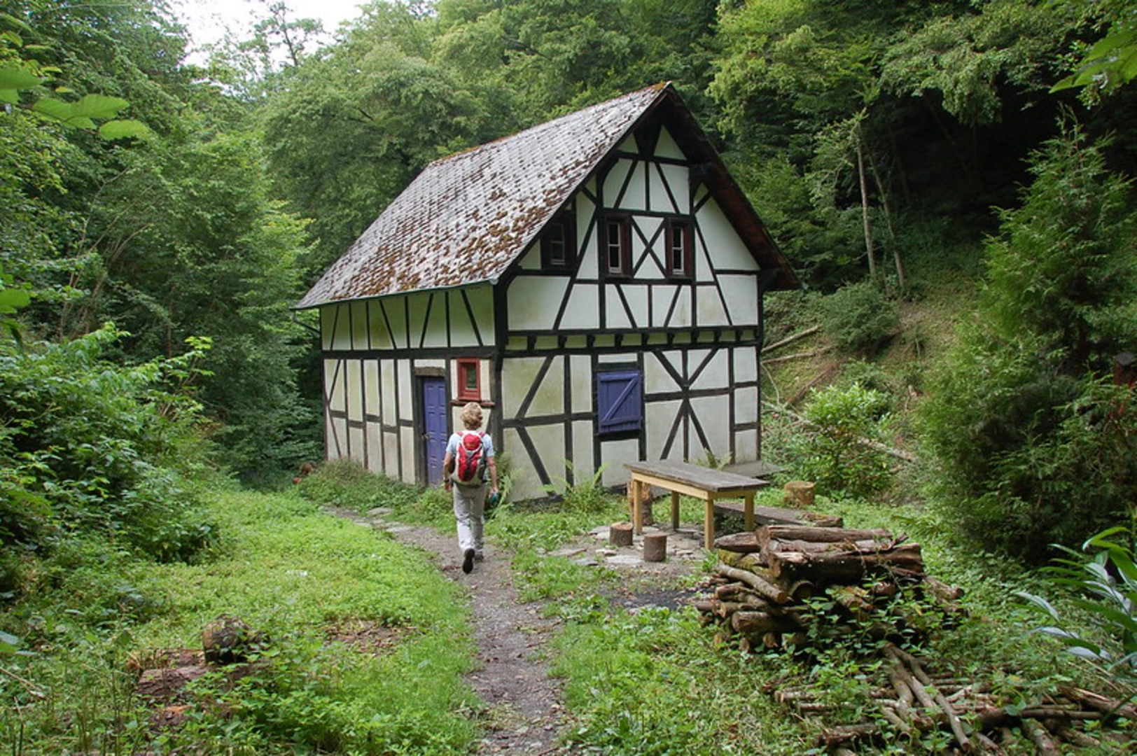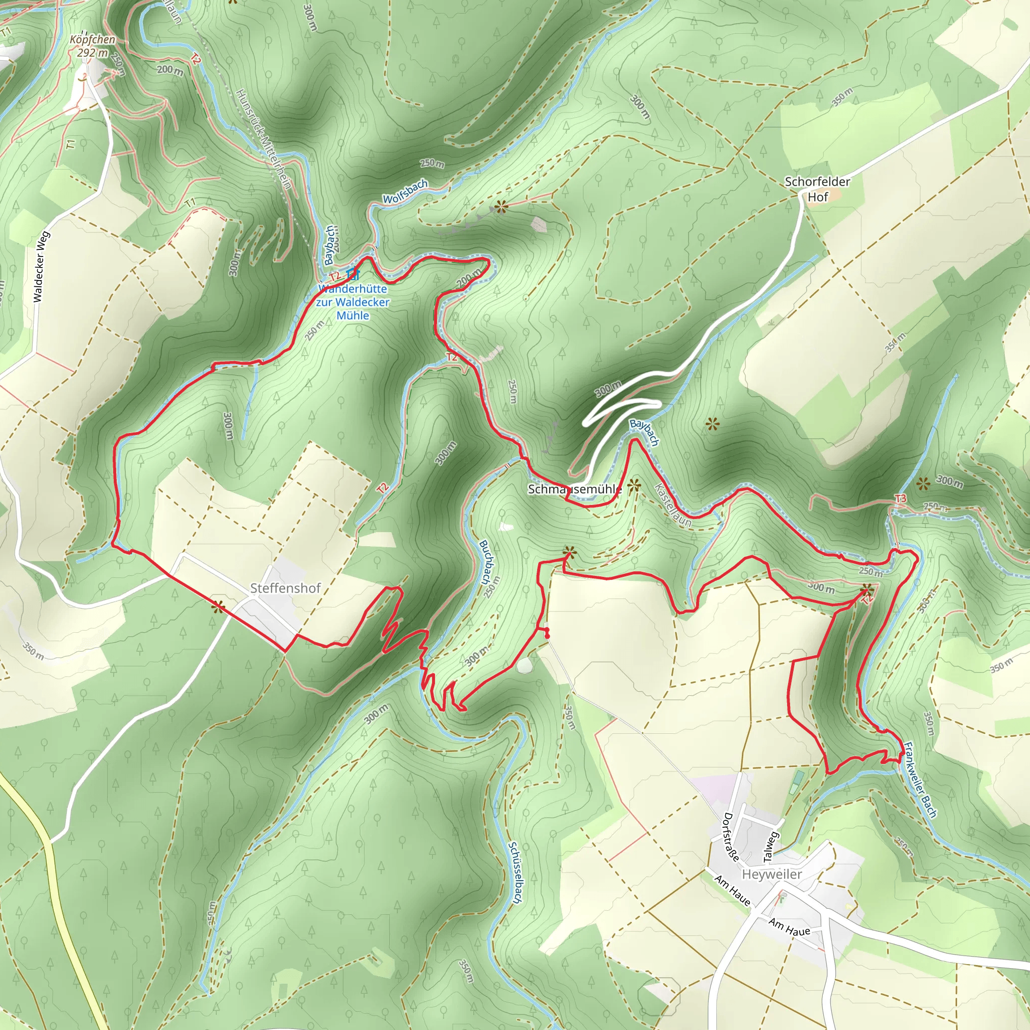
Barreterlei and Frankweiler Bach via Traumschleife Baybachklamm and Baybachtal-Weg
Download
Preview
Add to list
More
10.3 km
~2 hrs 45 min
412 m
Loop
“Embark on a thrilling 10 km loop near Rhein-Hunsrück-Kreis, blending natural beauty, history, and diverse wildlife.”
Starting your adventure near Rhein-Hunsrück-Kreis, Germany, the Barreterlei and Frankweiler Bach via Traumschleife Baybachklamm and Baybachtal-Weg is a captivating 10 km (6.2 miles) loop trail with an elevation gain of approximately 400 meters (1,312 feet). This medium-difficulty trail offers a blend of natural beauty, historical landmarks, and diverse wildlife, making it a must-explore for avid hikers.
Getting There To reach the trailhead, you can drive or use public transportation. If driving, set your GPS to the nearest known address: Baybachklamm, 56288 Gondershausen, Germany. For public transport, take a train to Emmelshausen station, then a local bus towards Gondershausen. From there, it's a short walk to the trailhead.
Trail Highlights #### Baybachklamm Gorge One of the most striking features of this trail is the Baybachklamm Gorge. As you traverse this section, you'll encounter steep rock faces and narrow passages, offering a thrilling experience. The gorge is particularly beautiful after rainfall, when the Baybach stream is at its most vigorous. Be prepared for some scrambling over rocks and roots, so sturdy hiking boots are essential.
#### Barreterlei Viewpoint Approximately 3 km (1.9 miles) into the hike, you'll reach the Barreterlei viewpoint. This vantage point offers panoramic views of the surrounding Hunsrück hills and the Baybach valley. It's an excellent spot for a break and some photography. The elevation gain to this point is around 150 meters (492 feet), so take your time and enjoy the ascent.
#### Frankweiler Bach Continuing along the trail, you'll come across the serene Frankweiler Bach stream. This section is relatively flat and offers a peaceful contrast to the rugged terrain of the Baybachklamm. The lush greenery and the sound of flowing water create a tranquil atmosphere, perfect for a leisurely walk.
Historical Significance The region around Rhein-Hunsrück-Kreis is steeped in history. The trail passes near several ancient Roman sites, including remnants of old roads and settlements. These historical landmarks offer a glimpse into the area's rich past, making your hike not just a physical journey but a historical exploration as well.
Wildlife and Flora The trail is home to a variety of wildlife, including deer, foxes, and numerous bird species. Keep an eye out for the European green woodpecker and the Eurasian jay. The flora is equally diverse, with oak, beech, and pine trees dominating the landscape. In spring and summer, the trail is adorned with wildflowers, adding a splash of color to your hike.
Navigation and Safety For navigation, it's highly recommended to use the HiiKER app, which provides detailed maps and real-time updates. The trail is well-marked, but having a reliable navigation tool ensures you stay on track. Always carry enough water, snacks, and a first-aid kit. The terrain can be challenging, especially in the Baybachklamm Gorge, so take your time and hike at a comfortable pace.
Final Stretch As you near the end of the loop, the trail gradually descends back towards the starting point. The final 2 km (1.2 miles) offer a gentle downhill walk, allowing you to reflect on the diverse landscapes and historical sites you've encountered. The total elevation gain for the entire trail is around 400 meters (1,312 feet), making it a rewarding yet manageable hike for those with a moderate level of fitness.
What to expect?
Activity types
Comments and Reviews
User comments, reviews and discussions about the Barreterlei and Frankweiler Bach via Traumschleife Baybachklamm and Baybachtal-Weg, Germany.
4.62
average rating out of 5
13 rating(s)
