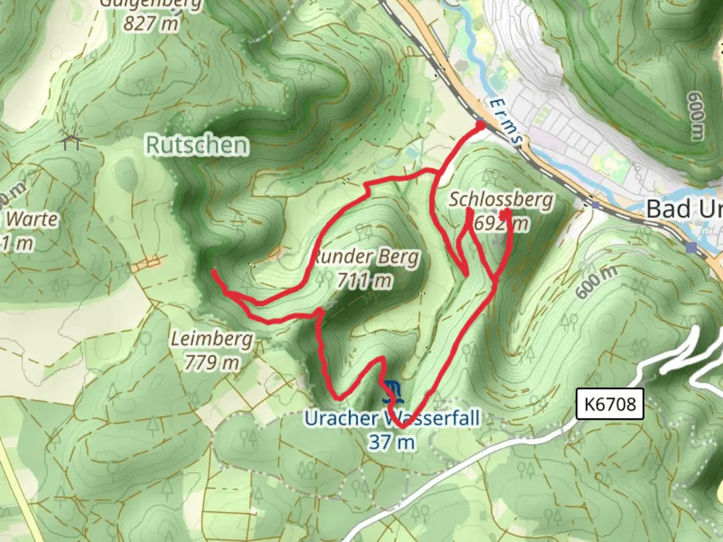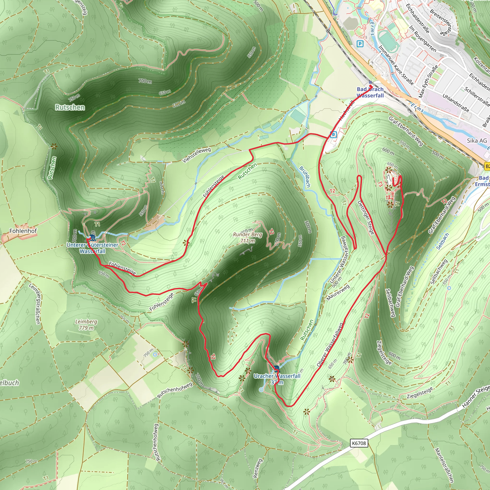
Schlossberg via Fohlensteige and Schwaebische-Alb-Nordrand Weg
Download
Preview
Add to list
More
10.5 km
~3 hrs 13 min
671 m
Loop
“Explore Reutlingen's 11 km loop trail, blending forested ascents, panoramic views, and historical ruins.”
Starting near Reutlingen, Germany, this 11 km (approximately 6.8 miles) loop trail offers a medium difficulty hike with an elevation gain of around 600 meters (about 1,970 feet). The trailhead is conveniently accessible by both public transport and car. If you're using public transport, take a train to Reutlingen Hauptbahnhof and then a local bus to the trailhead near the base of the Schlossberg. For those driving, parking is available near the trailhead.### Initial Ascent and FohlensteigeThe hike begins with a steady ascent through dense forest, following the Fohlensteige path. This section is characterized by a series of switchbacks that help to manage the elevation gain. As you climb, you'll be surrounded by a variety of native flora, including beech and oak trees. Keep an eye out for local wildlife such as deer and various bird species. After approximately 3 km (1.9 miles) and an elevation gain of about 300 meters (985 feet), you'll reach a plateau offering your first panoramic views of the Swabian Alps.### Schwaebische-Alb-Nordrand WegContinuing along the Schwaebische-Alb-Nordrand Weg, the trail levels out somewhat, allowing for a more leisurely pace. This section is rich in historical significance, as the Swabian Alps have been inhabited since prehistoric times. You'll pass by ancient limestone formations and might even spot some fossils embedded in the rocks. The trail here is well-marked, but it's always a good idea to have a reliable navigation tool like HiiKER to ensure you stay on track.### Schlossberg SummitThe final push to the Schlossberg summit involves another ascent, adding approximately 200 meters (656 feet) to your elevation gain. The effort is well worth it, as the summit offers breathtaking 360-degree views of the surrounding landscape. On a clear day, you can see as far as the Black Forest to the west and the Alps to the south. The summit area also features the ruins of an old castle, adding a touch of medieval history to your hike.### Descent and Return LoopThe descent begins with a steep but manageable path that eventually levels out as you re-enter the forest. This section of the trail is less strenuous, allowing you to enjoy the serene environment. You'll pass through meadows and small clearings, which are perfect spots for a rest or a picnic. The final stretch of the trail loops back to the starting point, completing the 11 km (6.8 miles) circuit.### Practical InformationEnsure you have sturdy hiking boots, as the trail can be rocky and uneven in places. Bring plenty of water and some snacks, especially if you plan to take your time exploring the historical sites and enjoying the views. Weather can be unpredictable, so pack a light rain jacket just in case. This trail offers a perfect blend of natural beauty, historical intrigue, and physical challenge, making it a rewarding experience for any hiker.
Comments and Reviews
User comments, reviews and discussions about the Schlossberg via Fohlensteige and Schwaebische-Alb-Nordrand Weg, Germany.
4.57
average rating out of 5
7 rating(s)
