Download
Preview
Add to list
More
6.3 km
~2 hrs 1 min
464 m
Loop
“A 6 km loop trail near Reutlingen, Germany, offers scenic views, historical landmarks, and diverse wildlife.”
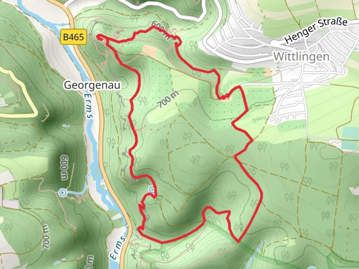
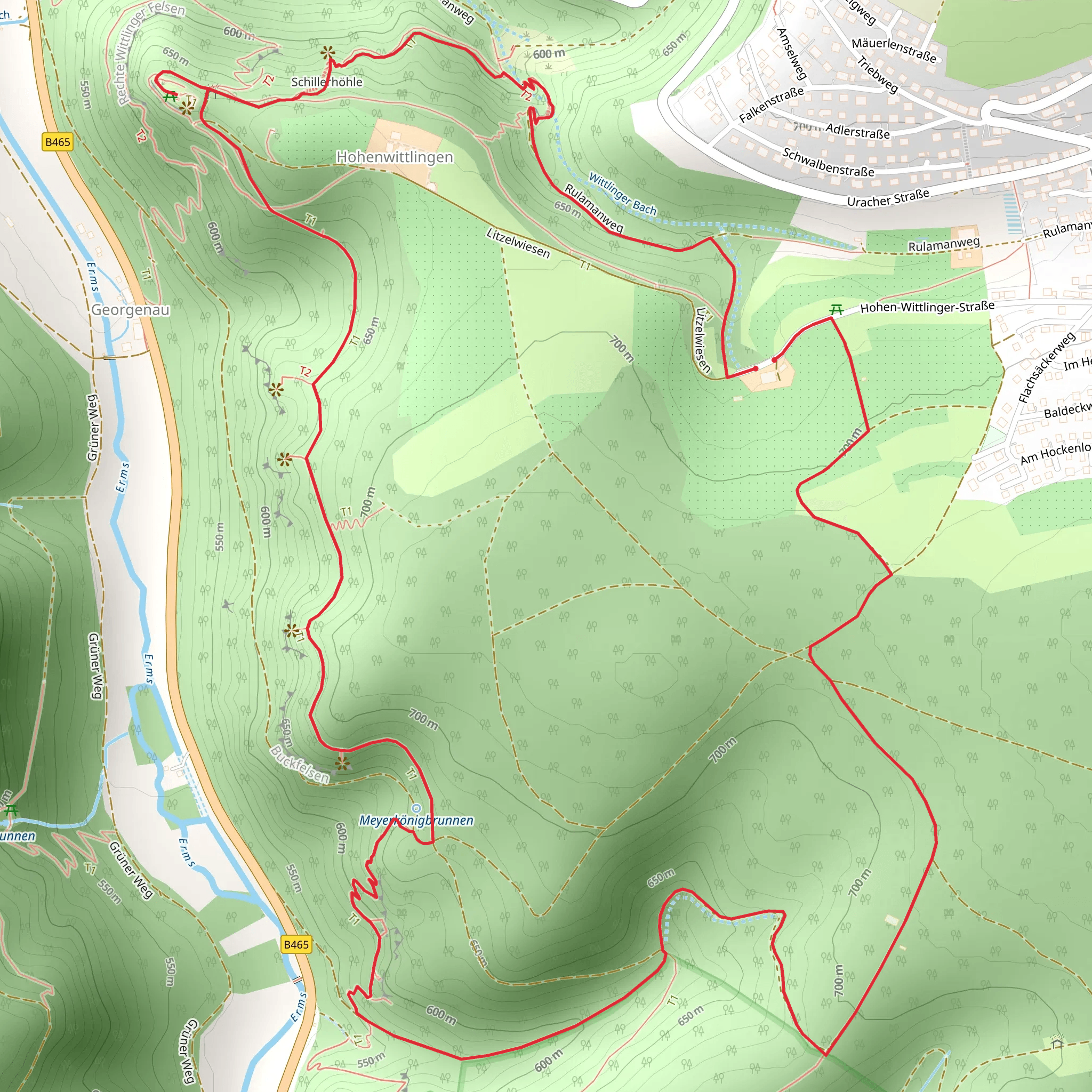
Starting near Reutlingen, Germany, the Schillerhoehe and Hockenloch Loop via Hohenwittlingensteig is a captivating 6 km (3.7 miles) loop trail with an elevation gain of approximately 400 meters (1,312 feet). This medium-difficulty trail offers a blend of natural beauty, historical landmarks, and diverse wildlife, making it a rewarding experience for hikers.
Getting There To reach the trailhead, you can either drive or use public transport. If driving, head towards the town of Bad Urach, which is well-signposted from Reutlingen. There is parking available near the trailhead. For those using public transport, take a train to Bad Urach station and then a local bus to the trailhead. The nearest significant landmark to the trailhead is the Hohenwittlingen Castle.
Trail Highlights #### Hohenwittlingen Castle One of the first significant landmarks you'll encounter is the Hohenwittlingen Castle. This medieval fortress, perched on a hill, offers panoramic views of the surrounding Swabian Jura. The castle ruins are a great spot for a short break and some exploration. The history of the castle dates back to the 11th century, and it played a crucial role in regional defense during the Middle Ages.
#### Schillerhoehe As you continue, you'll reach Schillerhoehe, a scenic viewpoint named after the famous German poet Friedrich Schiller. This spot offers breathtaking views of the surrounding valleys and forests. It's an ideal place to pause and take in the natural beauty of the region.
Flora and Fauna The trail meanders through dense forests, open meadows, and rocky outcrops, providing a diverse range of habitats for local wildlife. Keep an eye out for deer, foxes, and a variety of bird species. The flora is equally diverse, with wildflowers blooming in the spring and summer months, adding a splash of color to the landscape.
Navigation Navigating the trail is straightforward, but it's always a good idea to have a reliable navigation tool. HiiKER is an excellent app for this purpose, offering detailed maps and real-time tracking to ensure you stay on the right path.
Elevation and Terrain The trail features a mix of ascents and descents, with the most significant climb being the initial ascent to Hohenwittlingen Castle. The terrain varies from well-trodden paths to rocky sections, so sturdy hiking boots are recommended. The total elevation gain is around 400 meters (1,312 feet), making it a moderately challenging hike.
Points of Interest #### Hockenloch Another notable feature along the trail is Hockenloch, a small cave that adds an element of adventure to the hike. The cave is easily accessible and provides a cool, shaded spot to rest.
#### Water Sources There are a few natural springs along the trail where you can refill your water bottles. However, it's advisable to carry enough water, especially during the warmer months.
Seasonal Considerations The trail is accessible year-round, but the best times to hike are in the spring and autumn when the weather is mild, and the foliage is at its most vibrant. Winter hikes are also possible but be prepared for icy conditions and potentially slippery paths.
This trail offers a perfect blend of natural beauty, historical intrigue, and moderate physical challenge, making it a must-visit for hikers in the region.
What to expect?
Activity types
Comments and Reviews
User comments, reviews and discussions about the Schillerhoehe and Hockenloch Loop via Hohenwittlingensteig, Germany.
4.0
average rating out of 5
2 rating(s)
