Download
Preview
Add to list
More
7.1 km
~2 hrs 15 min
500 m
Loop
“Discover historical ruins, stunning waterfalls, and diverse wildlife on this rewarding 7 km loop near Bad Urach.”
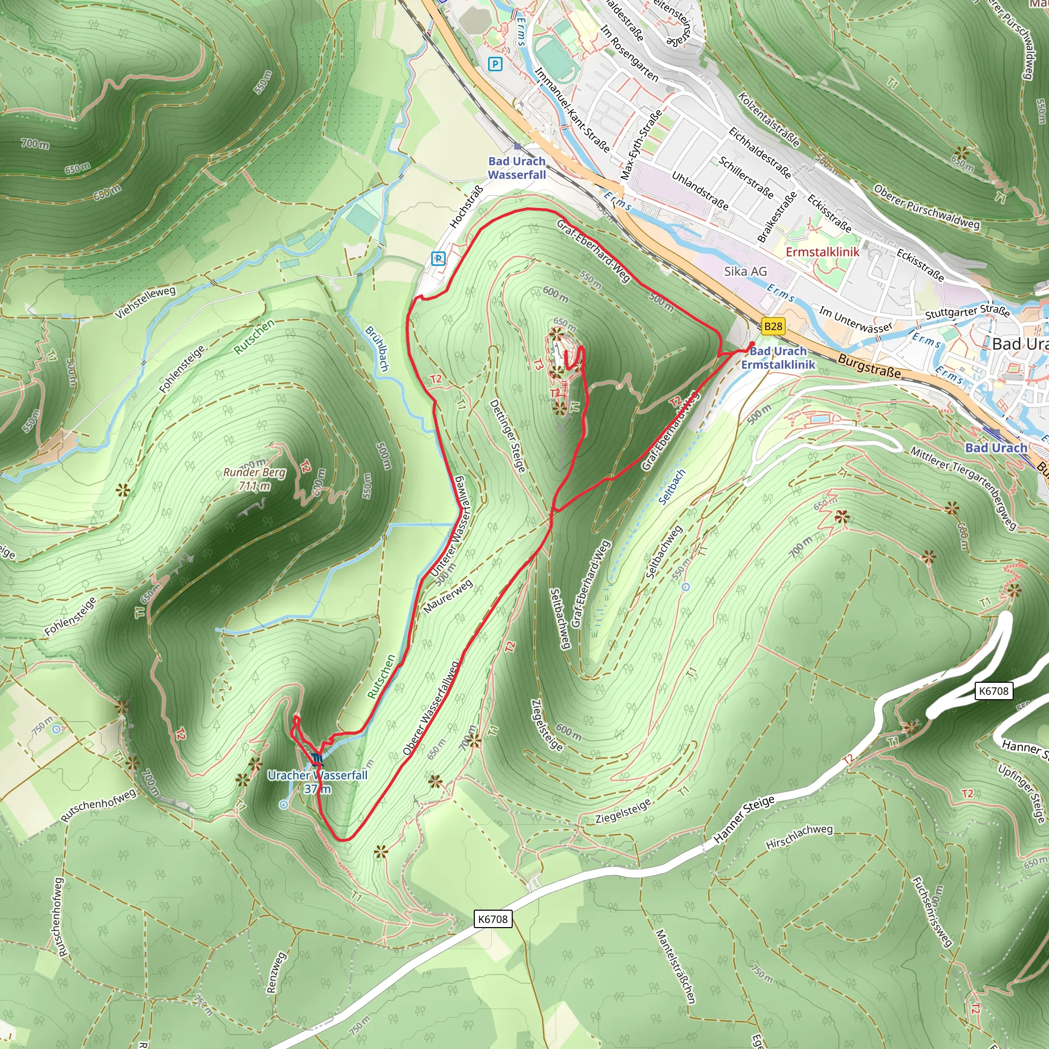
Starting your adventure near Reutlingen, Germany, the Ruine Hohenurach and Uracher Wasserfall Loop is a captivating 7 km (4.3 miles) loop trail with an elevation gain of approximately 500 meters (1,640 feet). This trail offers a blend of historical intrigue, natural beauty, and moderate physical challenge, making it a rewarding experience for hikers.
Getting There To reach the trailhead, you can either drive or use public transport. If driving, head towards Bad Urach, where you can find parking near the Kurpark. For those using public transport, take a train to Bad Urach station. From there, it's a short walk to the trailhead located near the Kurpark.
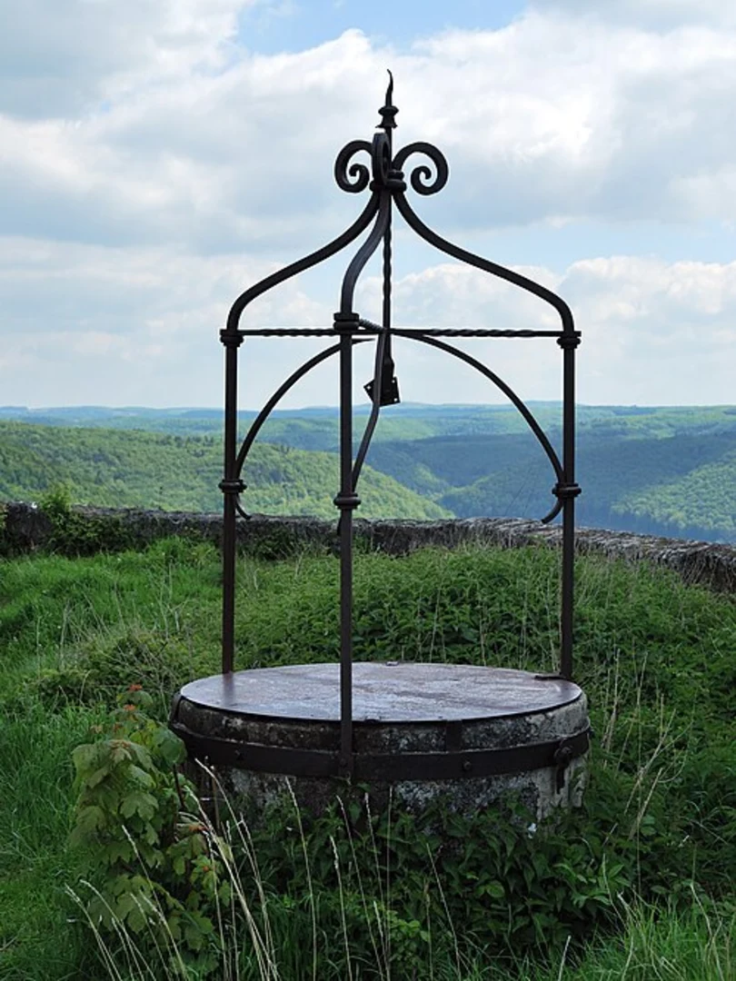
Trail Overview The trail begins with a gentle ascent through lush forested areas, providing a serene start to your hike. As you progress, the path becomes steeper, leading you to the first significant landmark, the Ruine Hohenurach. This medieval castle ruin, perched atop a hill, offers panoramic views of the surrounding Swabian Alps and the town of Bad Urach below. The castle dates back to the 11th century and was once a formidable fortress. Take some time to explore the ruins and imagine the historical events that unfolded here.
Uracher Wasserfall Continuing on the loop, the trail descends towards the Uracher Wasserfall, one of the most stunning waterfalls in the region. The waterfall plunges 37 meters (121 feet) into a picturesque basin, creating a mesmerizing sight and a perfect spot for a break. The surrounding area is rich in flora and fauna, so keep an eye out for local wildlife such as deer, foxes, and various bird species.
Navigation and Terrain The trail is well-marked, but it's always a good idea to have a reliable navigation tool like HiiKER to ensure you stay on track. The terrain varies from forest paths to rocky sections, so sturdy hiking boots are recommended. The elevation gain is moderate but steady, making it suitable for hikers with a reasonable level of fitness.
Points of Interest - **Ruine Hohenurach**: Approximately 2 km (1.2 miles) from the trailhead, with an elevation gain of about 200 meters (656 feet). - **Uracher Wasserfall**: Located around 4 km (2.5 miles) into the hike, with a descent of about 150 meters (492 feet) from the castle ruins.
Historical Significance The region around Bad Urach is steeped in history. The Ruine Hohenurach was a strategic stronghold during the Middle Ages, playing a crucial role in regional conflicts. The town of Bad Urach itself has a rich history, with its origins dating back to Roman times. The combination of historical landmarks and natural beauty makes this trail a unique and enriching experience.
Wildlife and Flora The trail traverses diverse ecosystems, from dense forests to open meadows. In spring and summer, the area is adorned with wildflowers, while autumn brings a vibrant display of foliage. Wildlife is abundant, so be prepared to encounter various species along the way.
This trail offers a perfect blend of history, nature, and moderate physical challenge, making it an ideal choice for a day hike. Whether you're a history buff, a nature lover, or simply looking for a scenic hike, the Ruine Hohenurach and Uracher Wasserfall Loop has something to offer.
What to expect?
Activity types
Comments and Reviews
User comments, reviews and discussions about the Ruine Hohenurach and Uracher Wasserfall Loop, Germany.
4.67
average rating out of 5
9 rating(s)

