Download
Preview
Add to list
More
7.2 km
~1 hrs 53 min
272 m
Loop
“The Locherstein and Rötelstein Loop offers stunning views, historical intrigue, and a moderate hiking challenge.”
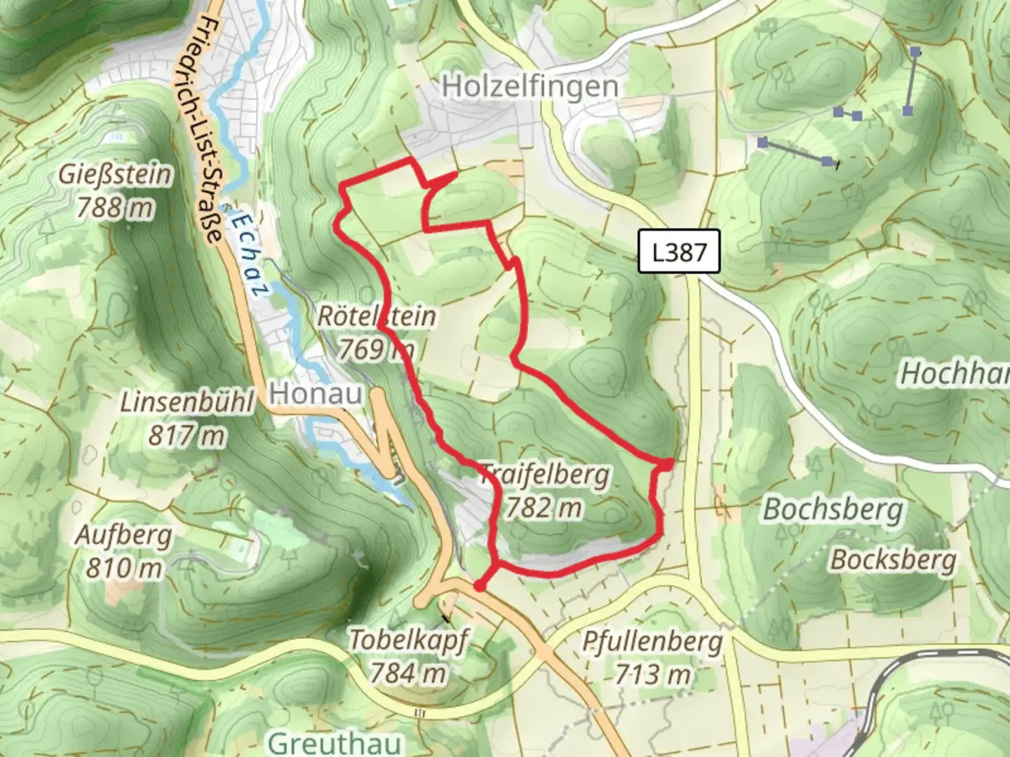
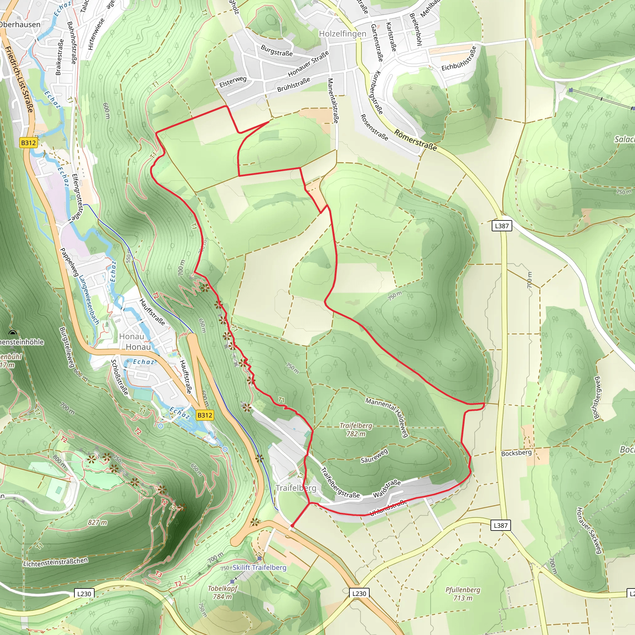
Starting near Reutlingen, Germany, the Locherstein and Rötelstein Loop from Traifelberg is a captivating 7 km (4.35 miles) loop trail with an elevation gain of approximately 200 meters (656 feet). This medium-difficulty trail offers a blend of natural beauty, historical significance, and a moderate challenge suitable for most hikers.
Getting There To reach the trailhead, you can drive or use public transport. If driving, head towards Traifelberg, which is easily accessible from Reutlingen. For those using public transport, take a train to Reutlingen and then a local bus towards Traifelberg. The nearest significant landmark to the trailhead is the Traifelberg Pass, a well-known spot in the region.
Trail Overview The trail begins near the Traifelberg Pass and quickly immerses you in the lush forests and rolling hills of the Swabian Jura. The initial section is relatively gentle, allowing you to warm up as you traverse through dense woodlands. Keep an eye out for local wildlife such as deer and various bird species that inhabit the area.
Locherstein At approximately 2 km (1.24 miles) into the hike, you'll reach Locherstein, a prominent rock formation offering panoramic views of the surrounding landscape. This is an excellent spot for a short break and some photography. The elevation gain to this point is around 100 meters (328 feet), making it a moderate climb.
Rötelstein Continuing on, the trail leads you towards Rötelstein, another significant rock formation. This section of the trail is slightly more challenging, with steeper inclines and rocky terrain. The total elevation gain by the time you reach Rötelstein is around 200 meters (656 feet). The views from Rötelstein are equally impressive, providing a different perspective of the Swabian Jura.
Historical Significance The region around Traifelberg is steeped in history. The Swabian Jura has been inhabited since prehistoric times, and you may come across remnants of ancient settlements and fortifications. The area was also significant during the medieval period, with several castles and ruins scattered throughout the landscape.
Navigation and Safety Given the moderate difficulty of the trail, it's advisable to use a reliable navigation tool like HiiKER to ensure you stay on track. The trail is well-marked, but having a digital map can be very helpful, especially in the more rugged sections near Rötelstein.
Flora and Fauna The trail is rich in biodiversity. You'll encounter a variety of plant species, including beech and oak trees, as well as wildflowers during the spring and summer months. The forested areas provide a habitat for numerous animals, so keep your eyes peeled for squirrels, foxes, and a variety of birdlife.
Final Stretch The final stretch of the loop brings you back towards Traifelberg, descending gradually through the forest. This section is less strenuous, allowing you to cool down as you make your way back to the trailhead. The entire loop takes around 2-3 hours to complete, depending on your pace and the number of stops you make to enjoy the scenery.
This trail offers a perfect blend of natural beauty, moderate physical challenge, and historical intrigue, making it a rewarding experience for any hiker.
What to expect?
Activity types
Comments and Reviews
User comments, reviews and discussions about the Locherstein and Rötelstein Loop from Traifelberg, Germany.
4.33
average rating out of 5
3 rating(s)
