Download
Preview
Add to list
More
10.9 km
~2 hrs 43 min
336 m
Loop
“The Gießstein and Linsenbuehl via Hochgehträumt trail near Reutlingen offers scenic views, wildlife, and historical landmarks.”
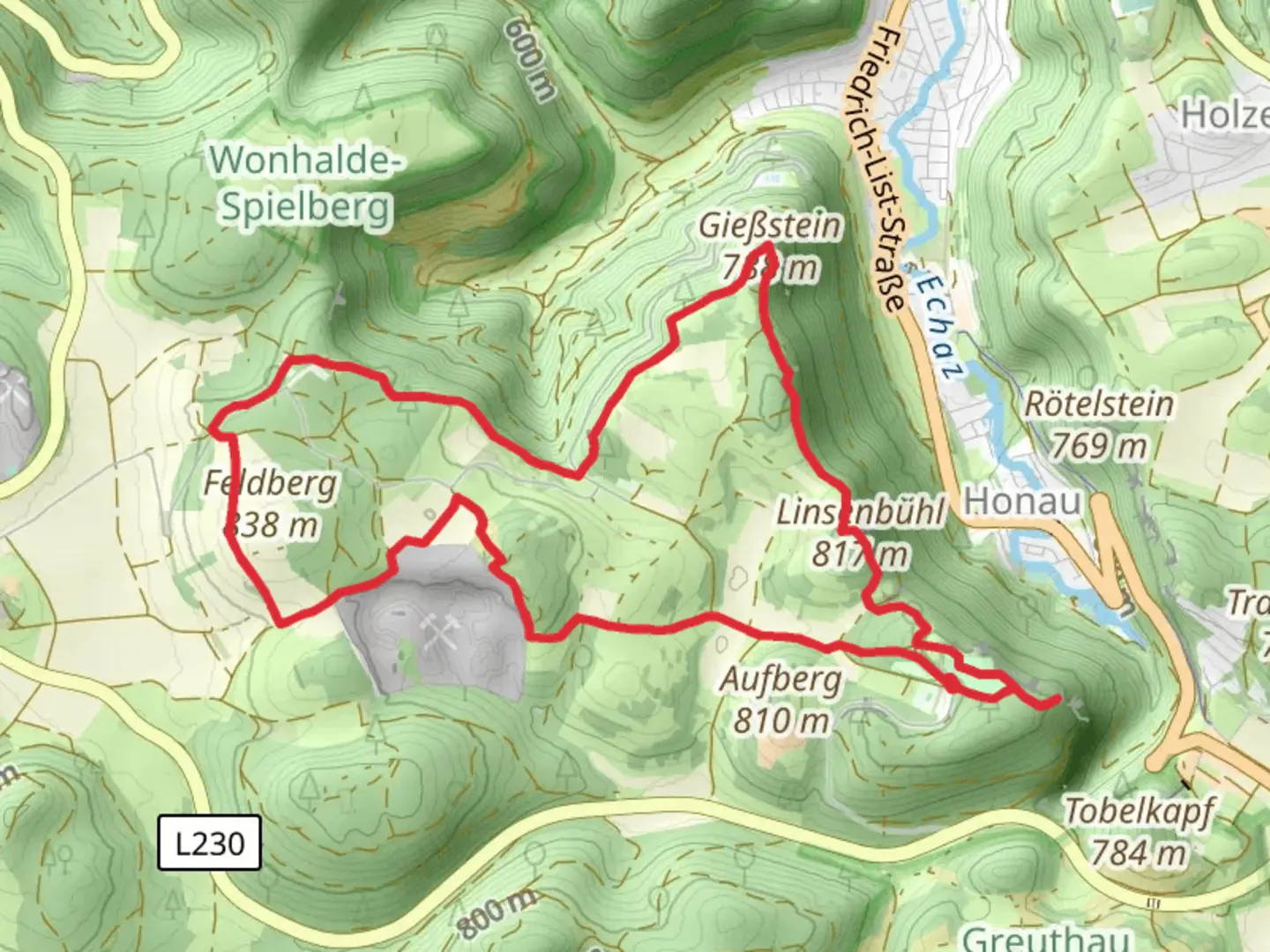
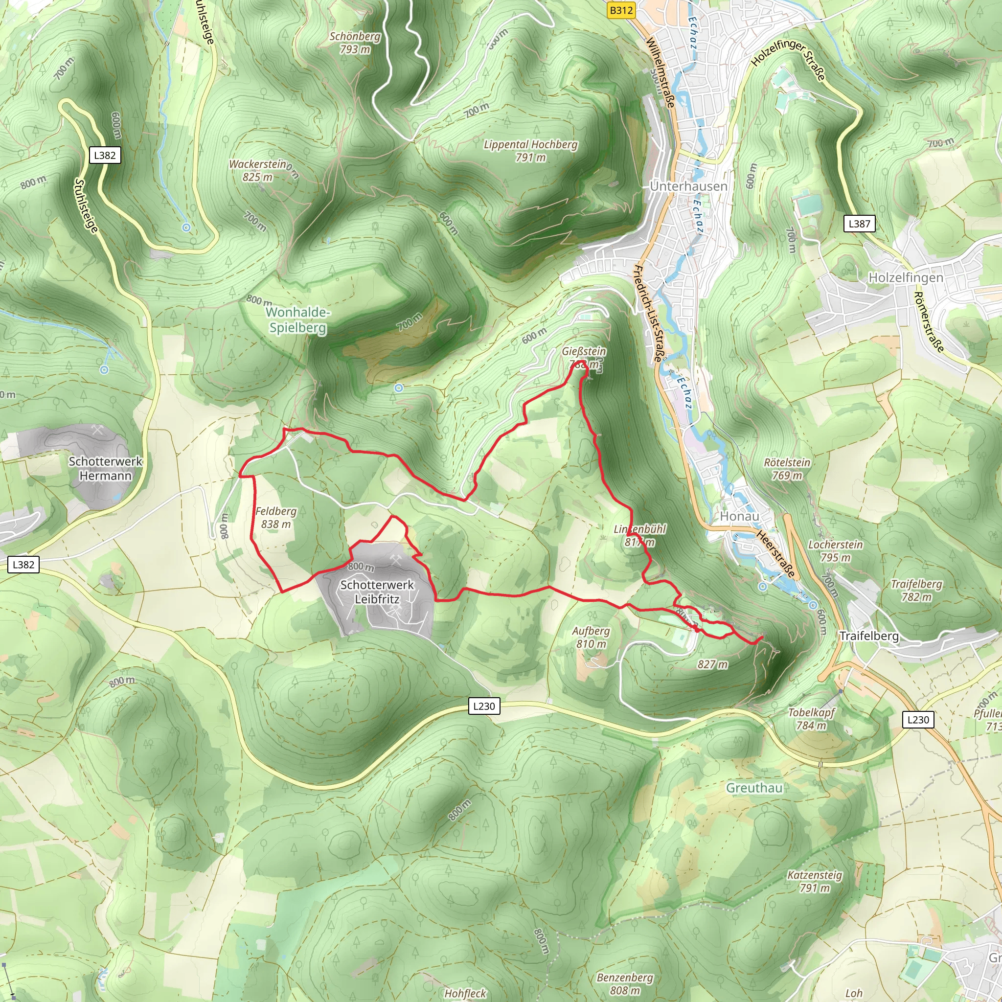
Starting near Reutlingen, Germany, the Gießstein and Linsenbuehl via Hochgehträumt trail is a picturesque loop that spans approximately 11 km (6.8 miles) with an elevation gain of around 300 meters (984 feet). This medium-difficulty trail offers a blend of natural beauty, historical landmarks, and diverse wildlife, making it a rewarding experience for hikers.### Getting There To reach the trailhead, you can either drive or use public transport. If driving, set your GPS to Reutlingen, and look for parking near the trailhead, which is conveniently located close to the town center. For those using public transport, take a train to Reutlingen Hauptbahnhof (main station). From there, local buses or a short taxi ride will get you to the starting point.### Trail Highlights#### Gießstein The first significant landmark you'll encounter is Gießstein, a prominent rock formation offering stunning views of the surrounding Swabian Jura landscape. This section of the trail is relatively steep, contributing to the initial elevation gain. The climb is well worth it, as the panoramic vistas provide excellent photo opportunities and a chance to catch your breath.#### Linsenbuehl Continuing along the loop, you'll reach Linsenbuehl, an area known for its lush meadows and diverse flora. This part of the trail is less strenuous, allowing you to enjoy the natural surroundings at a more leisurely pace. Keep an eye out for local wildlife, including deer and various bird species that inhabit the region.### Historical Significance The trail also passes through areas of historical interest. Near the midpoint, you'll find remnants of ancient Roman settlements, offering a glimpse into the region's rich history. Informational plaques provide context and details, making this a great spot for a brief educational break.### Navigation and Safety Given the trail's moderate difficulty, it's advisable to use a reliable navigation tool like HiiKER to stay on course. The trail is well-marked, but having a digital map can be invaluable, especially in areas where the path may be less clear.### Flora and Fauna The trail is a haven for nature enthusiasts. In spring and summer, the meadows are awash with wildflowers, including orchids and lilies. The forested sections are home to a variety of trees, such as beech and oak, providing ample shade and a cool respite during warmer months.### Practical Tips - Footwear: Sturdy hiking boots are recommended due to the varied terrain. - Weather: Check the weather forecast before heading out, as conditions can change rapidly. - Water and Snacks: Carry sufficient water and snacks, especially if you plan to take your time exploring the historical sites and natural beauty. - Wildlife: While encounters with wildlife are generally safe, it's wise to maintain a respectful distance and avoid feeding any animals.### Final Stretch As you near the end of the loop, the trail descends gently back towards Reutlingen. This final section offers a relaxing conclusion to your hike, with the town's amenities close at hand for a well-deserved rest or meal.This trail offers a balanced mix of physical challenge, natural beauty, and historical intrigue, making it a must-visit for hikers in the region.
Comments and Reviews
User comments, reviews and discussions about the Gießstein and Linsenbuehl via Hochgehtraeumt, Germany.
4.67
average rating out of 5
3 rating(s)
