Download
Preview
Add to list
More
7.6 km
~1 hrs 46 min
156 m
Loop
“The Panzertalsperre and Dorperhohe Loop offers moderate hiking with scenic views and historical landmarks.”
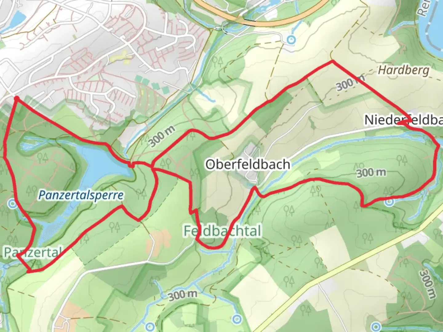
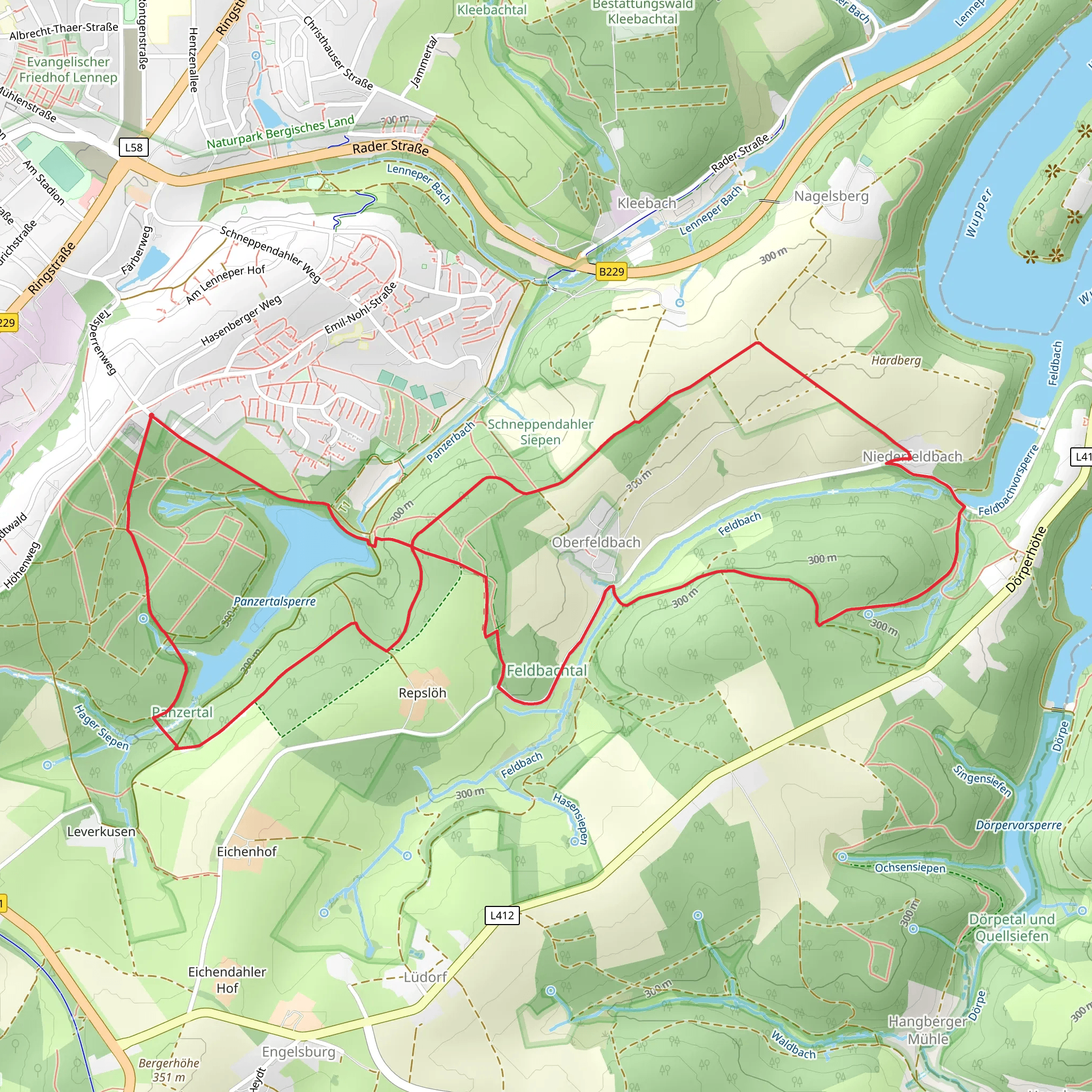
Starting near Remscheid, Germany, the Panzertalsperre and Dorperhohe Loop is an 8 km (approximately 5 miles) loop trail with an elevation gain of around 100 meters (328 feet). This trail offers a medium difficulty rating, making it suitable for moderately experienced hikers.
Getting There To reach the trailhead, you can drive or use public transport. If driving, set your GPS to the nearest known address: Talsperrenstraße, Remscheid. For those using public transport, take a train to Remscheid Hauptbahnhof and then a local bus to the Talsperrenstraße stop. From there, it's a short walk to the trailhead.
Trail Overview The trail begins near the Panzertalsperre, a reservoir that serves as a significant landmark. The initial section of the trail is relatively flat, making it a good warm-up. As you proceed, you'll encounter a gradual ascent, gaining about 50 meters (164 feet) in the first 2 km (1.2 miles).
Nature and Wildlife The trail meanders through a mixed forest, rich in biodiversity. Keep an eye out for native bird species like the European robin and the great spotted woodpecker. The underbrush is often teeming with small mammals such as squirrels and hedgehogs. During spring and summer, the forest floor is adorned with wildflowers, adding a splash of color to your hike.
Significant Landmarks At around the 3 km (1.8 miles) mark, you'll reach the Dorperhohe, a high point offering panoramic views of the surrounding landscape. This is an excellent spot for a short break and some photography. The elevation gain here is about 30 meters (98 feet), making it the steepest part of the trail.
Historical Significance The region around Remscheid has a rich industrial history, particularly in metalworking and tool manufacturing. As you hike, you may notice remnants of old industrial buildings and machinery, offering a glimpse into the area's past. The Panzertalsperre itself was constructed in the early 20th century and has played a crucial role in water management for the region.
Navigation and Safety The trail is well-marked, but it's always a good idea to have a reliable navigation tool. HiiKER is an excellent app for this purpose, providing detailed maps and real-time tracking. Wear sturdy hiking boots, as some sections can be muddy, especially after rain. Carry enough water and snacks, as there are no facilities along the trail.
Final Stretch The last 2 km (1.2 miles) of the trail are mostly downhill, leading you back to the starting point near the Panzertalsperre. This section offers a gentle descent, allowing you to cool down and enjoy the final moments of your hike.
This loop trail offers a balanced mix of natural beauty, moderate physical challenge, and historical intrigue, making it a rewarding experience for any hiker.
What to expect?
Activity types
Comments and Reviews
User comments, reviews and discussions about the Panzertalsperre and Dorperhohe Loop, Germany.
4.0
average rating out of 5
1 rating(s)
