Download
Preview
Add to list
More
6.7 km
~1 hrs 40 min
204 m
Loop
“The Grund Rundweg is a scenic 7 km loop in Remscheid, Germany, featuring diverse landscapes, historical sites, and wildlife.”
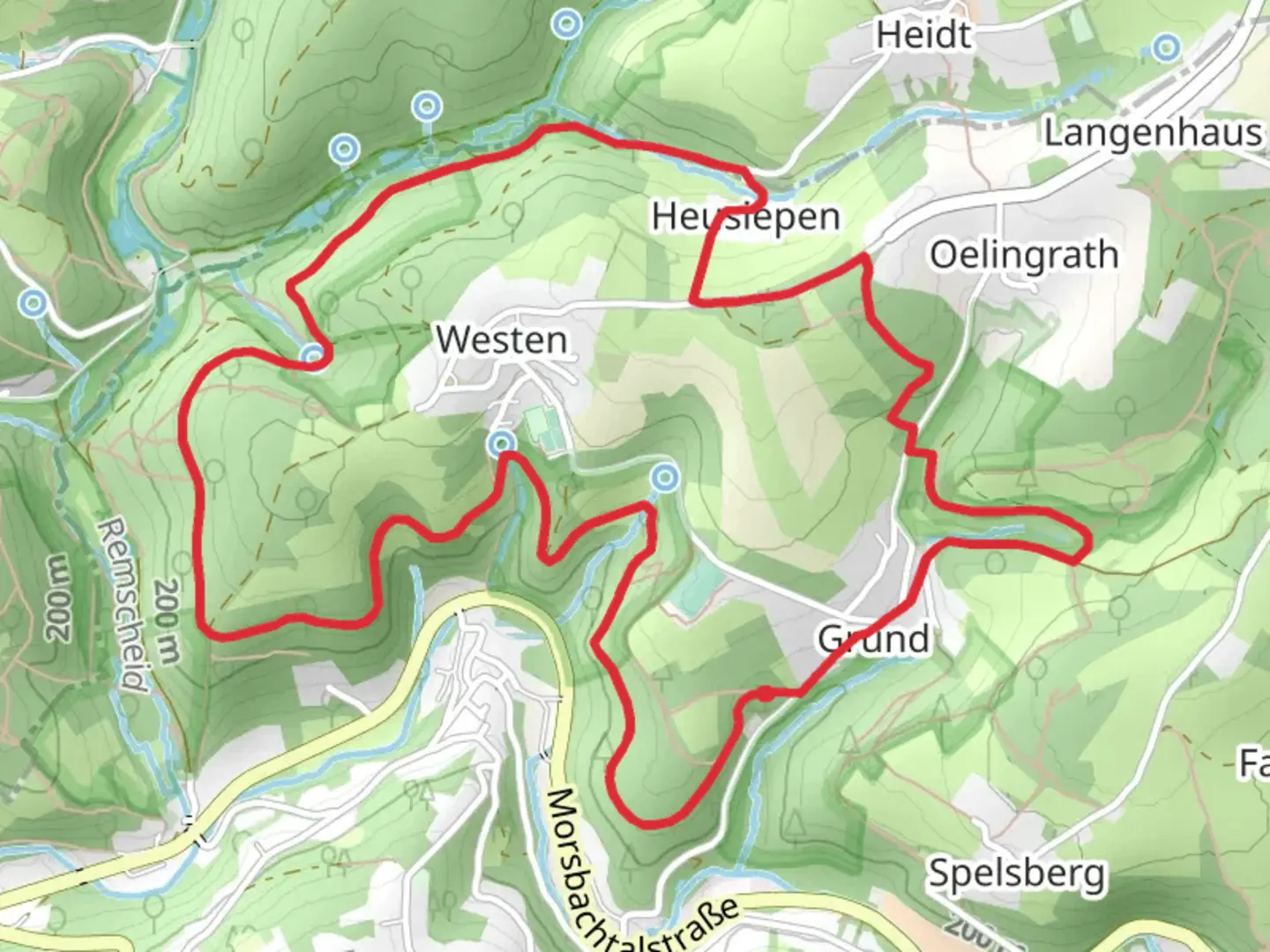
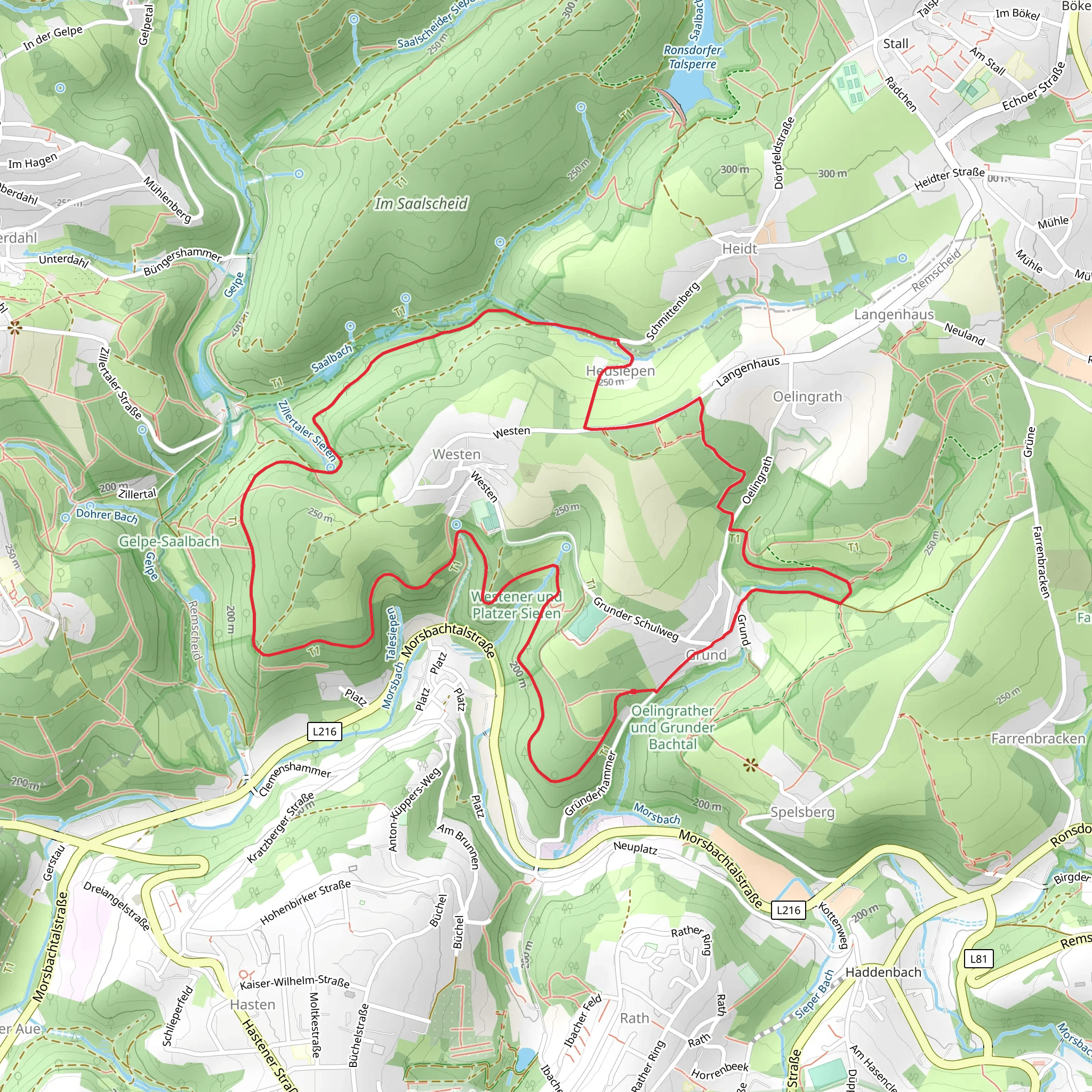
Starting near Remscheid, Germany, the Grund Rundweg is a picturesque loop trail that spans approximately 7 kilometers (4.3 miles) with an elevation gain of around 200 meters (656 feet). This medium-difficulty trail offers a delightful mix of natural beauty, historical landmarks, and opportunities for wildlife spotting.
Getting There
To reach the trailhead, you can either drive or use public transportation. If driving, set your GPS to Remscheid, and look for parking options near the trailhead. For those using public transport, take a train or bus to Remscheid Hauptbahnhof. From there, local buses or a short taxi ride will get you to the starting point of the trail.
Trail Highlights
#### Natural Scenery
The Grund Rundweg takes you through a variety of landscapes, including dense forests, open meadows, and serene streams. The trail is well-marked and offers several vantage points where you can pause to take in the panoramic views of the surrounding countryside. During spring and summer, the trail is adorned with wildflowers, making it a vibrant and colorful experience.
#### Wildlife
Keep an eye out for local wildlife, including deer, foxes, and a variety of bird species. Early morning or late afternoon hikes increase your chances of spotting these animals. The trail is also home to several species of butterflies and insects, adding to the rich biodiversity of the area.
Historical Significance
Remscheid and its surrounding areas have a rich history dating back to the medieval period. As you hike, you'll come across several historical landmarks, including old mills and remnants of ancient settlements. One notable site is the Müngstener Brücke, Germany's highest railway bridge, which is not far from the trail and worth a detour if you have the time.
Navigation
For navigation, it's highly recommended to use the HiiKER app, which provides detailed maps and real-time updates. The trail is well-marked, but having a reliable navigation tool can help you stay on track and explore additional points of interest.
Trail Sections
#### Initial Ascent
The trail begins with a gentle ascent through a forested area. This section is relatively easy and serves as a good warm-up. You'll gain about 50 meters (164 feet) in elevation over the first kilometer (0.6 miles).
#### Mid-Trail Plateau
After the initial climb, the trail levels out, offering a more relaxed hike through open meadows and along the banks of small streams. This section is ideal for taking a break and enjoying a picnic. You'll cover approximately 3 kilometers (1.9 miles) on this plateau, with minimal elevation change.
#### Final Descent
The last section of the trail involves a descent back towards the starting point. This part can be a bit steep, so watch your footing, especially if the ground is wet. You'll lose about 150 meters (492 feet) in elevation over the final 2 kilometers (1.2 miles).
Preparation Tips
- Footwear: Sturdy hiking boots are recommended due to the varied terrain. - Weather: Check the weather forecast before heading out. The trail can be slippery after rain. - Supplies: Bring enough water and snacks, as there are no facilities along the trail. - Clothing: Dress in layers, as the weather can change rapidly.
The Grund Rundweg offers a well-rounded hiking experience with its mix of natural beauty, historical landmarks, and opportunities for wildlife spotting. Whether you're a seasoned hiker or a casual walker, this trail has something to offer for everyone.
What to expect?
Activity types
Comments and Reviews
User comments, reviews and discussions about the Grund Rundweg, Germany.
4.33
average rating out of 5
3 rating(s)
