Download
Preview
Add to list
More
10.1 km
~2 hrs 45 min
442 m
Loop
“Experience a rewarding hike through diverse terrains, scenic views, and historical landmarks on the Strümpfelbachtal Loop.”
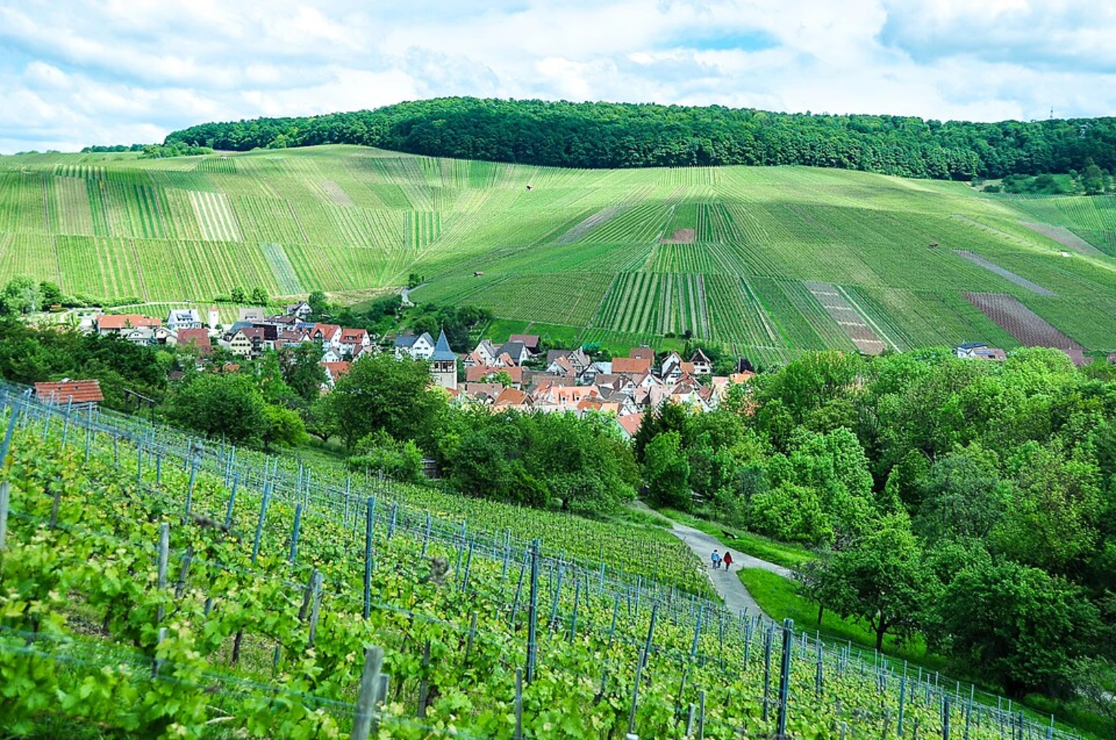
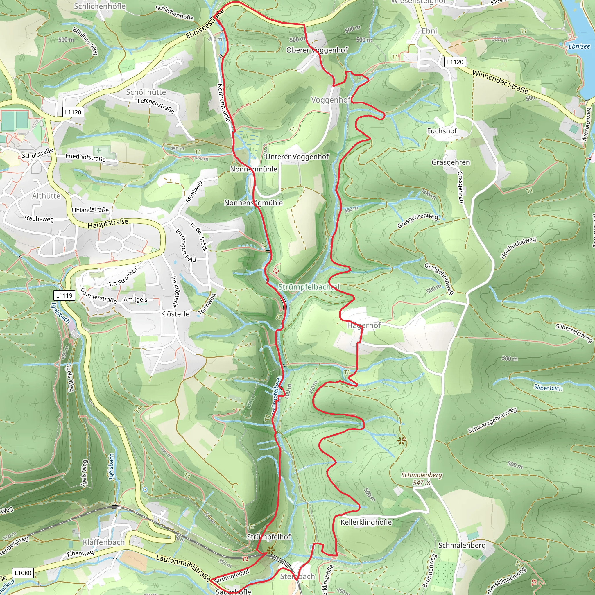
Starting near Rems-Murr-Kreis in Germany, this 10 km (approximately 6.2 miles) loop trail offers a delightful mix of natural beauty and moderate physical challenge. With an elevation gain of around 400 meters (about 1,312 feet), hikers can expect a variety of terrains and scenic views.
Getting There To reach the trailhead, you can drive or use public transportation. If driving, set your GPS to Rems-Murr-Kreis, and look for parking near the trailhead. For those using public transport, take a train to the nearest station in Rems-Murr-Kreis and then a local bus or taxi to the trailhead.
Trail Overview The Strümpfelbachtal Loop is a medium-difficulty trail, making it suitable for hikers with some experience. The loop format means you'll start and end at the same point, making logistics simpler.
Key Landmarks and Sections
#### Initial Ascent The trail begins with a gentle ascent through dense forest, offering a cool and shaded start. After about 2 km (1.2 miles), the path becomes steeper, gaining approximately 150 meters (492 feet) in elevation. This section can be a bit challenging, so take your time and enjoy the lush greenery around you.
#### Strümpfelbach Stream Around the 4 km (2.5 miles) mark, you'll encounter the Strümpfelbach stream. This is a great spot to take a break, enjoy the sound of flowing water, and perhaps even dip your feet in the cool stream. The area is rich in flora, including various species of ferns and wildflowers.
#### Panoramic Views As you continue, the trail opens up to offer panoramic views of the surrounding valleys and hills. This section, around 6 km (3.7 miles) into the hike, is relatively flat and provides a welcome respite from the earlier climb. The elevation here is about 300 meters (984 feet) above sea level, giving you a great vantage point for photography.
#### Historical Significance The region around Rems-Murr-Kreis has a rich history dating back to Roman times. Keep an eye out for old stone markers and ruins that hint at the area's past. These historical elements add an intriguing layer to your hike, making it not just a physical journey but also a walk through history.
Wildlife and Nature The trail is home to a variety of wildlife, including deer, foxes, and numerous bird species. Early morning or late afternoon hikes offer the best chances for wildlife sightings. The diverse plant life, from towering oaks to delicate wildflowers, makes this trail a botanist's dream.
Navigation For navigation, it's highly recommended to use HiiKER. The app provides detailed maps and real-time updates, ensuring you stay on the right path. Given the dense forest sections and potential for confusing intersections, having a reliable navigation tool is crucial.
Final Descent The last 2 km (1.2 miles) of the trail involve a gradual descent back to the trailhead. This section is less strenuous, allowing you to cool down and reflect on the hike. The path winds through open meadows and small patches of forest, offering a peaceful end to your journey.
Preparation Tips - Wear sturdy hiking boots with good ankle support. - Bring plenty of water and snacks. - A lightweight rain jacket is advisable, as weather can be unpredictable. - Use trekking poles if you have them, especially for the steeper sections.
This trail offers a balanced mix of physical challenge, natural beauty, and historical intrigue, making it a rewarding experience for any hiker.
What to expect?
Activity types
Comments and Reviews
User comments, reviews and discussions about the Strümpfelbachtal Loop, Germany.
4.25
average rating out of 5
4 rating(s)

