Download
Preview
Add to list
More
5.3 km
~1 hrs 28 min
251 m
Loop
“The Kernenturm Loop in Germany offers a scenic 5 km hike with diverse landscapes and historical landmarks.”
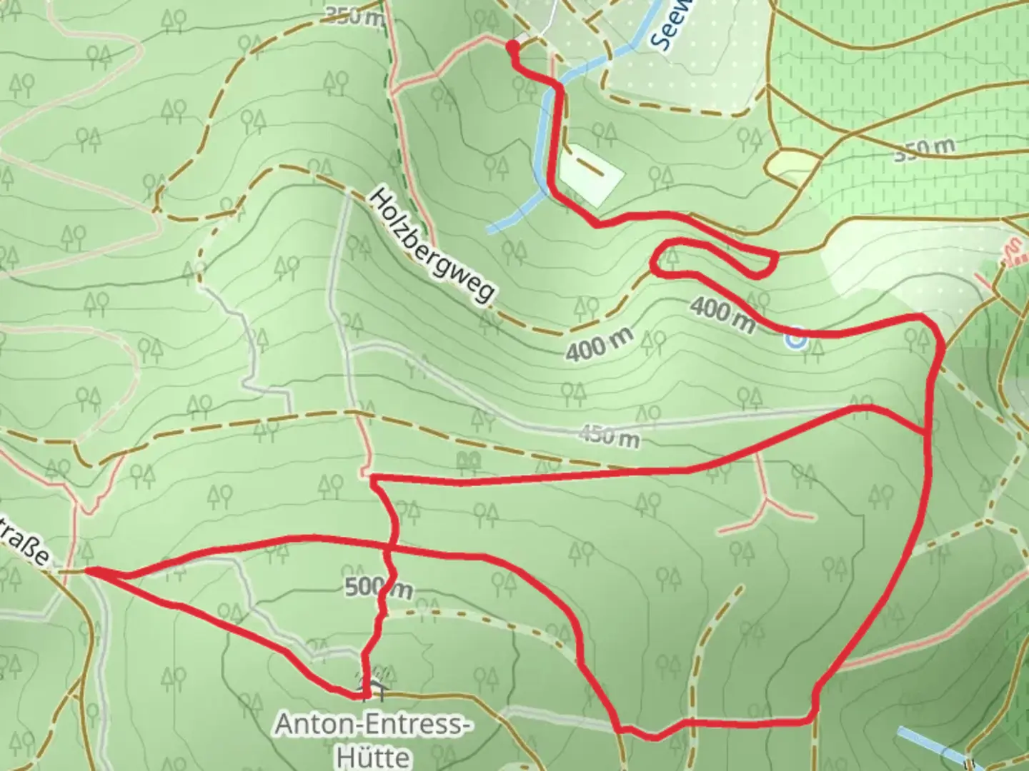
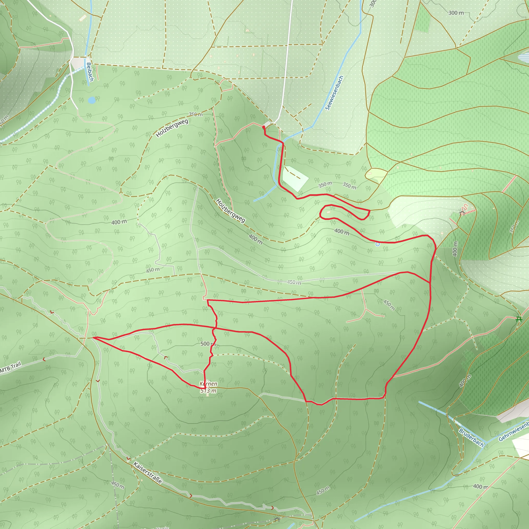
Starting near Rems-Murr-Kreis, Germany, the Kernenturm Loop is a delightful 5 km (3.1 miles) trail with an elevation gain of approximately 200 meters (656 feet). This loop trail is rated as medium difficulty, making it suitable for moderately experienced hikers.
Getting There To reach the trailhead, you can either drive or use public transport. If you're driving, set your GPS to the nearest known address: Schurwaldstraße, 73630 Remshalden, Germany. There is ample parking available near the trailhead. For those using public transport, take a train to the Remshalden station and then a local bus to the Schurwaldstraße stop. From there, it's a short walk to the trailhead.
Trail Highlights The Kernenturm Loop offers a variety of landscapes and points of interest. Starting from the trailhead, the path initially winds through a dense forest, providing ample shade and a serene atmosphere. The first kilometer (0.6 miles) is relatively flat, making it a good warm-up for the more challenging sections ahead.
#### Kernenturm Tower At approximately 2 km (1.2 miles) into the hike, you'll reach the Kernenturm Tower, a historical landmark that dates back to the early 20th century. The tower offers panoramic views of the surrounding Swabian Alps and the Stuttgart metropolitan area. It's a great spot to take a break and enjoy the scenery. The elevation gain to this point is about 100 meters (328 feet).
Flora and Fauna As you continue, the trail meanders through mixed woodlands, featuring a variety of tree species such as beech, oak, and pine. Keep an eye out for local wildlife, including deer, foxes, and a variety of bird species. The forest floor is often carpeted with wildflowers in the spring and summer, adding a splash of color to your hike.
Navigational Tips The trail is well-marked, but it's always a good idea to have a reliable navigation tool. HiiKER is an excellent app for this purpose, providing detailed maps and real-time tracking to ensure you stay on course.
Final Stretch The last 1.5 km (0.9 miles) of the trail descends gradually back towards the trailhead. This section offers more open views of the surrounding countryside, including vineyards and rolling hills. The descent is gentle, making it a pleasant way to end your hike.
Historical Significance The region around Rems-Murr-Kreis has a rich history, with evidence of human settlement dating back to the Roman era. The Kernenturm Tower itself was built in 1906 and has served as a popular lookout point for over a century. The area was also significant during the medieval period, with several castles and fortifications in the vicinity.
Practical Information The trail is accessible year-round, but the best times to visit are in the spring and autumn when the weather is mild, and the foliage is at its most vibrant. Make sure to wear sturdy hiking boots, bring plenty of water, and pack a light snack or lunch to enjoy at the Kernenturm Tower.
What to expect?
Activity types
Comments and Reviews
User comments, reviews and discussions about the Kernenturm Loop, Germany.
4.0
average rating out of 5
1 rating(s)
