Download
Preview
Add to list
More
4.9 km
~1 hrs 11 min
130 m
Point-to-Point
“Discover a 5 km trail near Rems-Murr-Kreis, blending natural beauty, historical intrigue, and moderate challenge.”
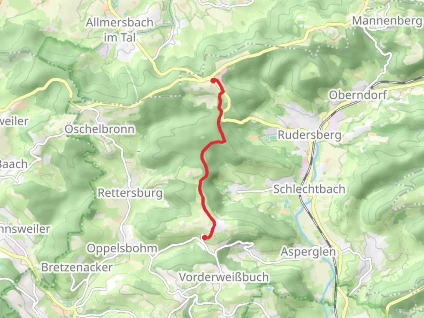
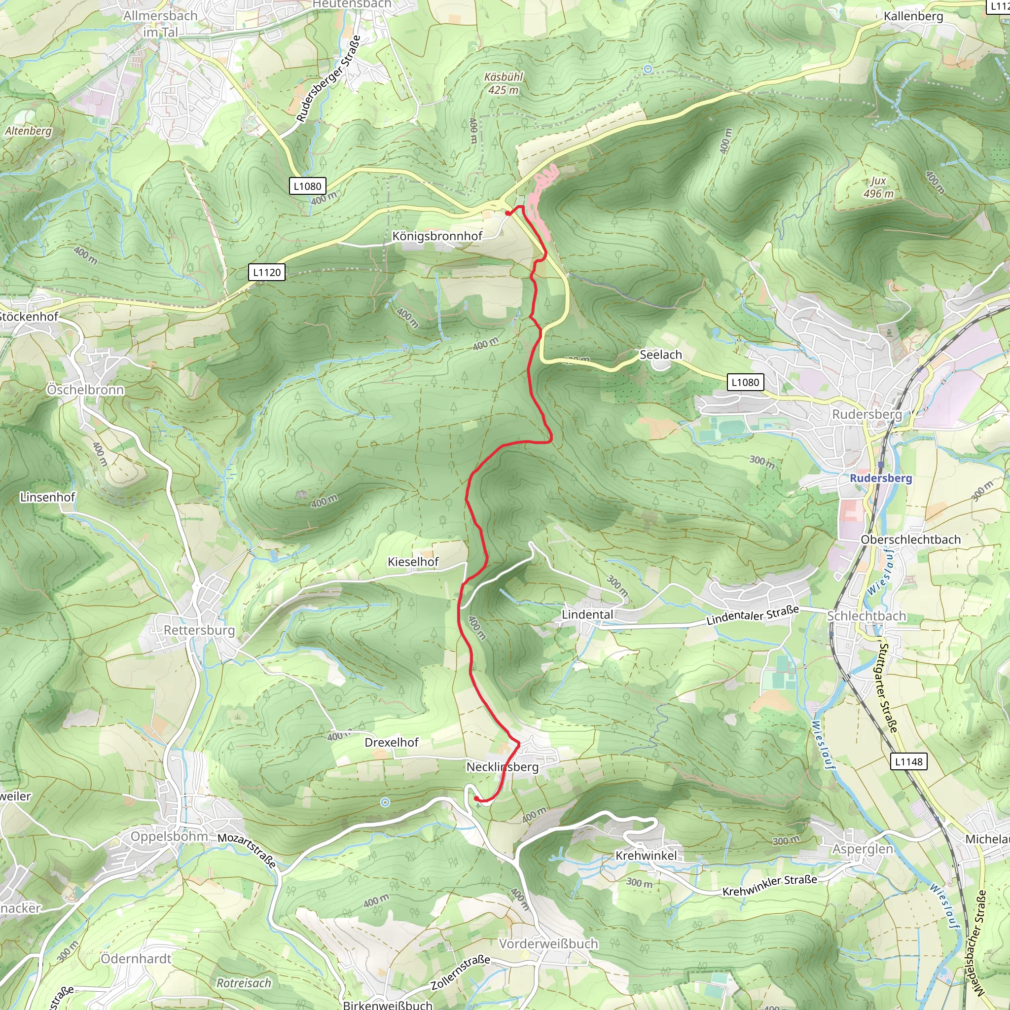
Starting near Rems-Murr-Kreis, Germany, this 5 km (approximately 3.1 miles) point-to-point trail offers a delightful mix of natural beauty and historical significance. With an elevation gain of around 100 meters (328 feet), it is rated as a medium difficulty hike, making it suitable for moderately experienced hikers.
Getting There To reach the trailhead, you can either drive or use public transport. If driving, set your GPS to Rems-Murr-Kreis, and look for parking near the local cemetery, Friedhof Necklinsberg. For those using public transport, take a train to the nearest station in Remshalden, and from there, a local bus or taxi can get you to the trailhead.
Trail Navigation For navigation, it is highly recommended to use the HiiKER app, which provides detailed maps and real-time updates to ensure you stay on the right path.
Trail Highlights As you begin your hike, the trail initially meanders through a serene forested area. The dense canopy provides ample shade, making it a pleasant start. About 1 km (0.6 miles) in, you will come across a small clearing with a picturesque view of the surrounding hills. This is a great spot for a quick rest or photo opportunity.
Historical Significance Continuing along the Hauptlinie des SAV, you will encounter several markers and plaques that detail the historical significance of the region. This area has been a crossroads for various trade routes dating back to medieval times. The trail itself follows part of an old route used by merchants and pilgrims.
Flora and Fauna The trail is rich in biodiversity. Keep an eye out for native wildlife such as deer, foxes, and a variety of bird species. The flora is equally impressive, with seasonal wildflowers adding a splash of color to the landscape. In spring and early summer, the trail is particularly vibrant with blooming flowers.
Midpoint Landmark At approximately 2.5 km (1.55 miles), you will reach a significant landmark: a large, ancient oak tree known locally as the "Eiche des Friedens" or "Oak of Peace." This tree is believed to be over 300 years old and serves as a symbol of endurance and tranquility.
Final Stretch As you approach the final stretch of the trail, the path begins to ascend gently. The elevation gain here is around 50 meters (164 feet) over the last 1 km (0.6 miles), providing a moderate challenge. The trail opens up to a more rugged terrain with rocky outcrops and panoramic views of the valley below.
Reaching Kreuz The trail concludes at Kreuz, a small but significant landmark featuring a historic cross that dates back several centuries. This spot offers a breathtaking view of the surrounding countryside, making it a perfect endpoint for your hike. There are benches available for resting and taking in the scenery.
Return Options From Kreuz, you can either retrace your steps back to the starting point or arrange for a pickup. If you prefer public transport, a short walk will take you to the nearest bus stop, which connects back to Remshalden station.
This trail offers a balanced mix of natural beauty, historical intrigue, and moderate physical challenge, making it a rewarding experience for any hiker.
Comments and Reviews
User comments, reviews and discussions about the Friedhof Necklinsberg to Kreuz via Hauptlinie des SAV, Germany.
4.0
average rating out of 5
1 rating(s)
