Download
Preview
Add to list
More
6.2 km
~1 hrs 16 min
28 m
Loop
“Explore Pforzheim's scenic 6 km Hoyerswerda-Ufer Loop, perfect for nature lovers and history buffs alike.”
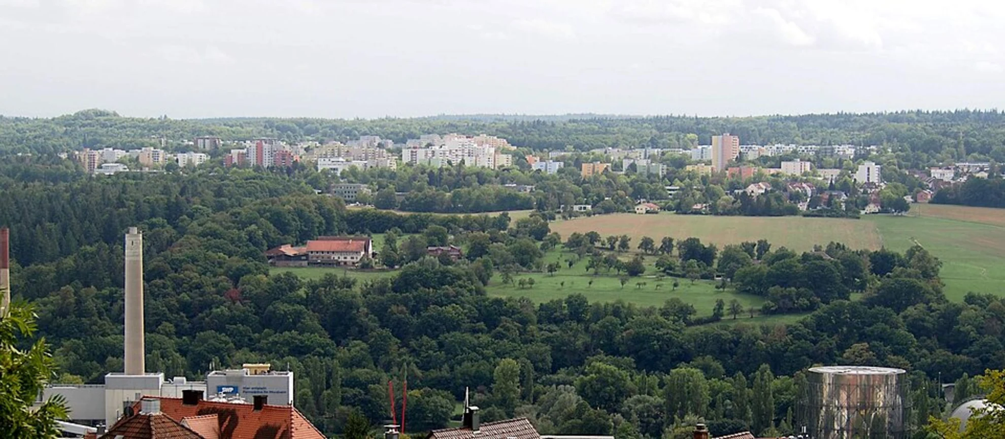
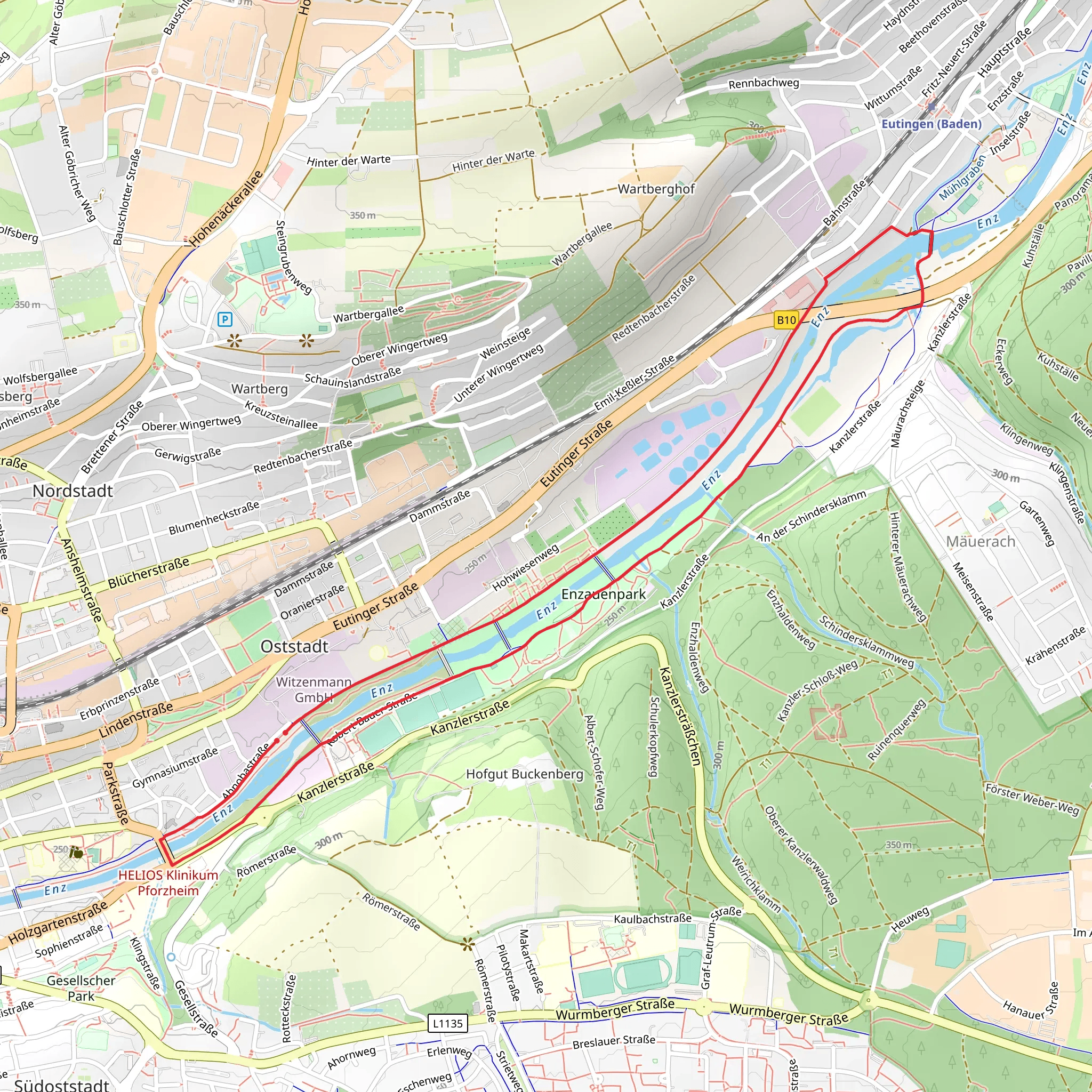
Starting near Pforzheim, Germany, the Hoyerswerda-Ufer and Enzuferweg Loop is a delightful 6 km (approximately 3.7 miles) trail with no significant elevation gain, making it accessible for a wide range of hikers. The trailhead is conveniently located near the Enz River, which is easily accessible by both public transport and car. If you're coming by train, Pforzheim Hauptbahnhof is the nearest major station, and from there, local buses can take you closer to the trailhead. For those driving, parking is available near the Enz River.### Trail OverviewThe loop trail offers a mix of serene riverside walking and lush forest paths. Starting from the Enz River, you'll follow the Hoyerswerda-Ufer, which runs parallel to the river. This section is particularly scenic, with the gentle flow of the river providing a calming backdrop. The path is well-marked and relatively flat, making it an easy walk for most hikers.### Key Landmarks and Points of Interest#### Enz River The Enz River is a significant feature of this trail. As you walk along its banks, you'll notice a variety of bird species, including kingfishers and herons. The river is also home to several species of fish, and if you're lucky, you might spot some jumping out of the water.#### Historical Significance Pforzheim, known as the "Gateway to the Black Forest," has a rich history dating back to Roman times. The area around the Enz River was historically significant for its role in the timber trade, which was crucial for the development of the region. As you walk, you'll come across several informational plaques detailing the history of the area.### Flora and FaunaThe trail is abundant with diverse plant life. You'll walk through sections of dense forest where oak, beech, and pine trees dominate. In the spring and summer, the forest floor is carpeted with wildflowers, including bluebells and wood anemones. The area is also home to various wildlife, such as deer, foxes, and a variety of bird species.### Navigation and SafetyUsing HiiKER for navigation is highly recommended. The app provides detailed maps and real-time updates, ensuring you stay on the right path. Although the trail is well-marked, having a reliable navigation tool can enhance your hiking experience.### Practical Information- Distance: 6 km (3.7 miles) - Elevation Gain: 0 meters (0 feet) - Difficulty: Medium - Trail Type: Loop### Getting There- By Public Transport: Take a train to Pforzheim Hauptbahnhof. From there, local buses can take you closer to the trailhead near the Enz River. - By Car: Parking is available near the Enz River. Use the nearest address for GPS: Enzauenpark, Pforzheim, Germany.This trail offers a perfect blend of natural beauty and historical significance, making it a rewarding experience for any hiker.
What to expect?
Activity types
Comments and Reviews
User comments, reviews and discussions about the Hoyerswerda-Ufer and Enzuferweg Loop, Germany.
4.71
average rating out of 5
7 rating(s)

