Download
Preview
Add to list
More
4.9 km
~1 hrs 13 min
149 m
Loop
“The Burgweg Loop in Pforzheim, Germany, offers a 5 km hike rich in natural beauty and historical intrigue.”
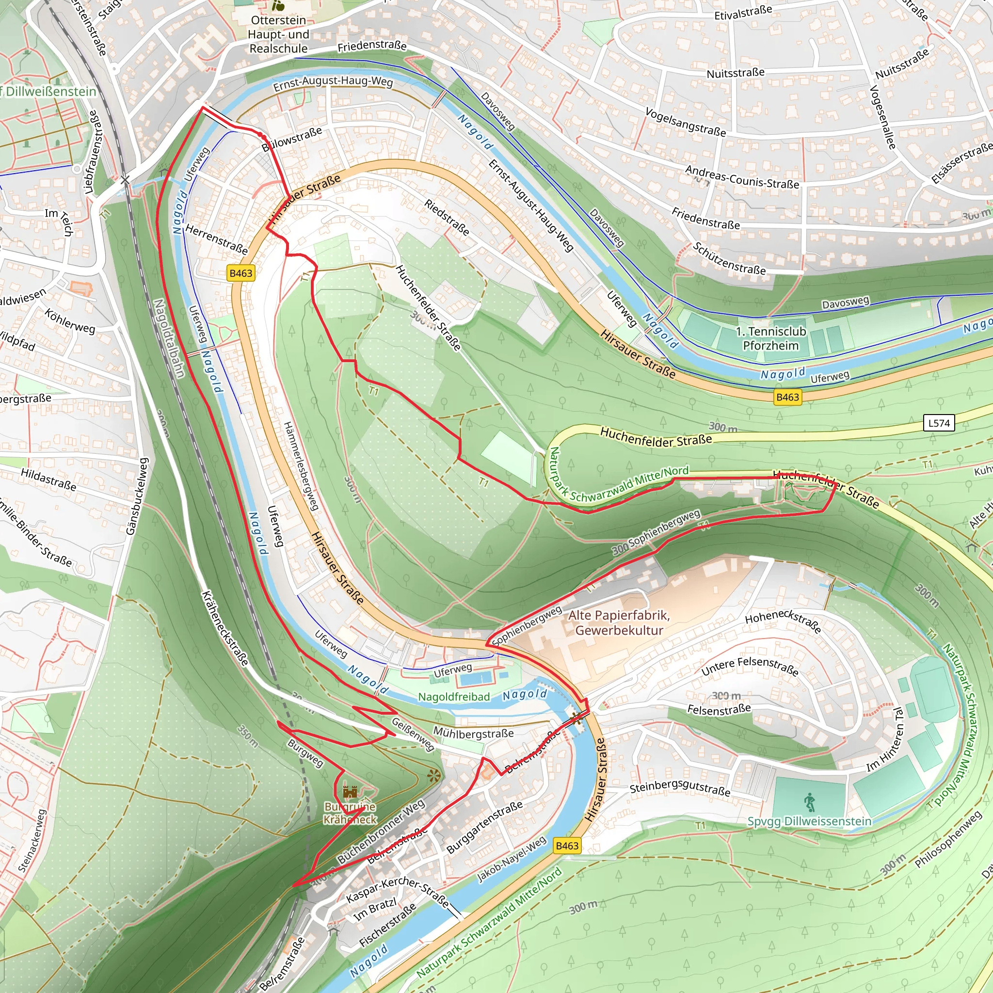
Starting near the charming town of Pforzheim, Germany, the Burgweg Loop is a delightful 5 km (approximately 3.1 miles) trail that offers a moderate challenge with an elevation gain of around 100 meters (328 feet). This loop trail is perfect for those looking to immerse themselves in the natural beauty and historical richness of the region.
Getting There To reach the trailhead, you can either drive or use public transport. If driving, set your GPS to Pforzheim, and look for parking near the Enzauenpark, a well-known local park. For those using public transport, Pforzheim is well-connected by train. From the Pforzheim Hauptbahnhof (main train station), you can take a local bus to the Enzauenpark area.
Trail Overview The trail begins near the Enzauenpark, a beautiful green space that offers a serene start to your hike. As you set off, you'll quickly find yourself surrounded by lush forest, with the path winding gently upwards. The initial section of the trail is relatively easy, making it a good warm-up for the more moderate inclines ahead.
Significant Landmarks and Nature About 1 km (0.6 miles) into the hike, you'll come across the ruins of an old castle, which gives the trail its name, "Burgweg" meaning "Castle Way." These ruins are a significant historical landmark, dating back to the medieval period. Take a moment to explore the remnants and imagine the history that unfolded here.
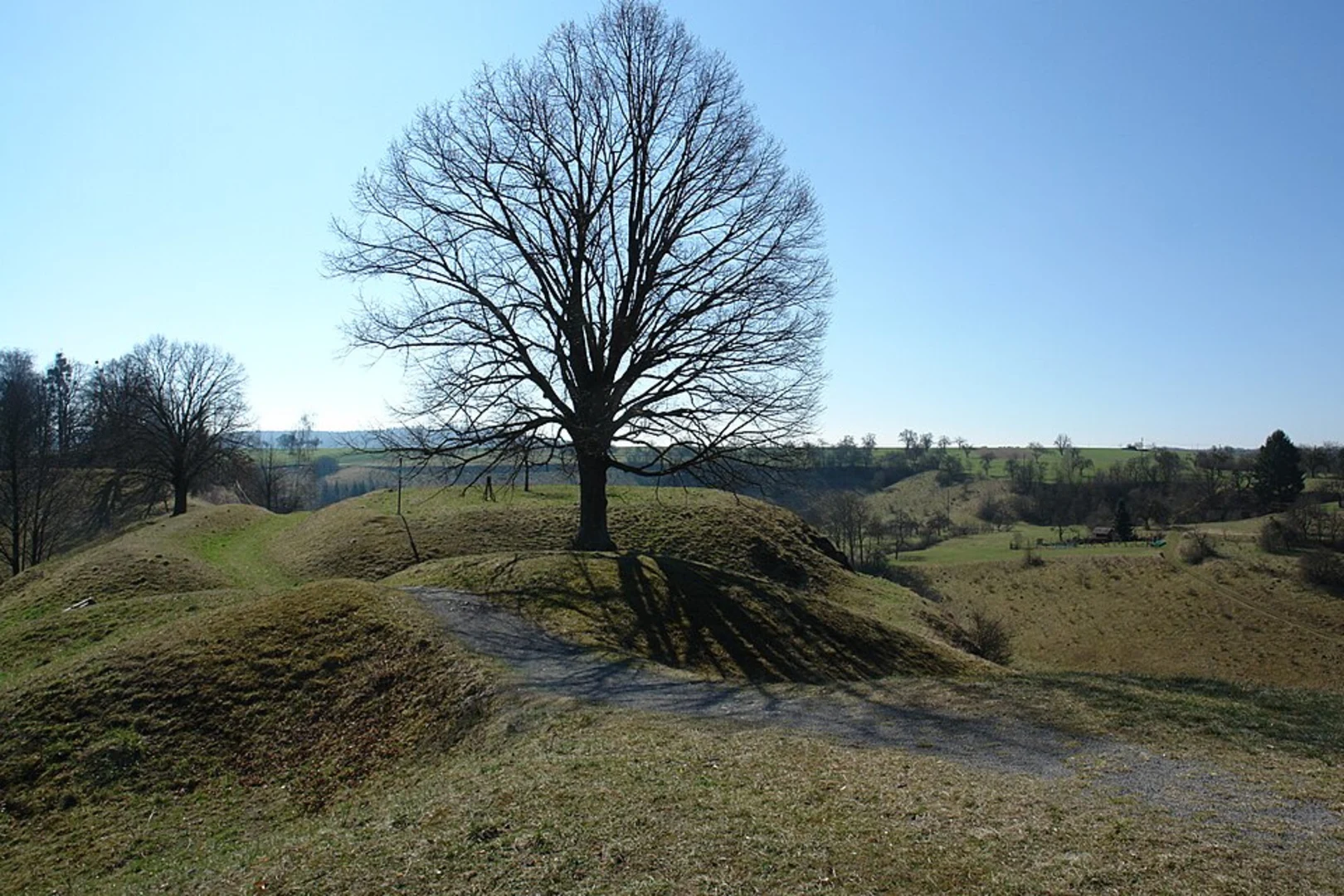
Continuing on, the trail meanders through dense woodland, offering a rich tapestry of flora and fauna. Keep an eye out for native wildlife such as deer, foxes, and a variety of bird species. The forest is particularly beautiful in the spring and autumn, when the foliage is either lush and green or a riot of fall colors.
Elevation and Terrain As you progress, the trail begins to climb more steeply, gaining around 100 meters (328 feet) in elevation. This section can be a bit challenging, but the well-maintained path and the occasional bench for resting make it manageable for most hikers. The highest point of the trail offers a rewarding view of the surrounding countryside, a perfect spot for a quick break and some photos.
Navigation To ensure you stay on track, it's advisable to use a reliable navigation tool like HiiKER. The app provides detailed maps and real-time tracking, which can be particularly useful in the denser sections of the forest where the path might not be as clearly marked.
Final Stretch The descent is gradual and takes you through more open areas, where you can enjoy panoramic views of the rolling hills and valleys. As you near the end of the loop, the trail brings you back to the Enzauenpark, where you can relax and reflect on your hike.
Historical Significance Pforzheim itself is known as the "Gateway to the Black Forest" and has a rich history in the jewelry and watchmaking industries. The town was heavily bombed during World War II, but it has since been rebuilt and retains a unique blend of historical and modern elements. The Burgweg Loop offers a glimpse into this storied past, making it not just a hike, but a journey through time.
Whether you're a seasoned hiker or a casual walker, the Burgweg Loop provides a perfect blend of natural beauty, moderate challenge, and historical intrigue.
What to expect?
Activity types
Comments and Reviews
User comments, reviews and discussions about the Burgweg Loop, Germany.
4.6
average rating out of 5
5 rating(s)

