Download
Preview
Add to list
More
9.5 km
~2 hrs 7 min
130 m
Loop
“Discover Pfaffenhofen an der Ilm's scenic 10 km loop, blending Bavarian beauty with historical allure.”
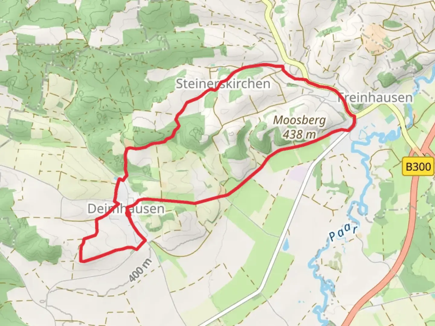
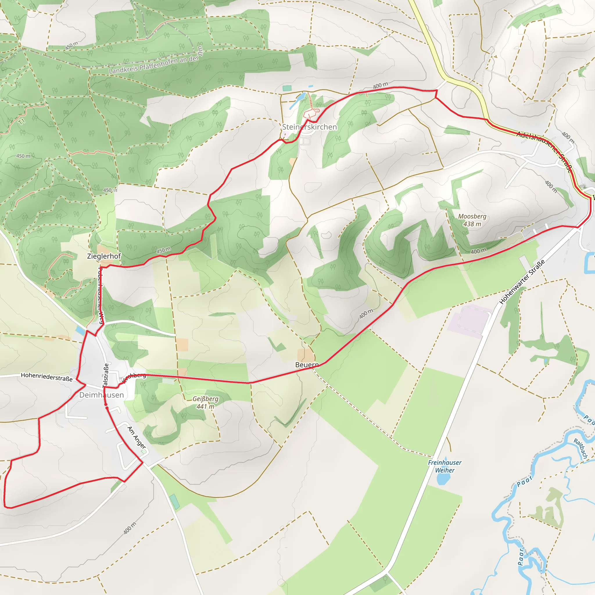
Starting near the charming town of Pfaffenhofen an der Ilm in Germany, this 10 km (6.2 miles) loop trail offers a delightful mix of natural beauty and historical intrigue. With an elevation gain of approximately 100 meters (328 feet), it is rated as a medium difficulty hike, making it accessible for most hikers with a moderate level of fitness.
Getting There To reach the trailhead, you can either drive or use public transport. If driving, head towards Pfaffenhofen an der Ilm and look for parking options near the town center. For those using public transport, the Pfaffenhofen an der Ilm train station is well-connected to major cities like Munich and Ingolstadt. From the station, it's a short walk to the trailhead.
Trail Navigation For navigation, it is highly recommended to use the HiiKER app, which provides detailed maps and real-time updates to ensure you stay on track.
Trail Highlights As you begin your hike, you'll quickly find yourself immersed in the lush Bavarian countryside. The trail meanders through a mix of dense forests and open fields, offering a variety of landscapes to enjoy. Early on, you'll encounter the serene Ilm River, which provides a peaceful backdrop for the first few kilometers.
Historical Significance One of the most notable landmarks along the trail is the historic St. Michael's Church, located about 3 km (1.9 miles) into the hike. This church dates back to the 12th century and is a fine example of Romanesque architecture. Take a moment to explore the church grounds and appreciate the intricate stonework and stained glass windows.
Flora and Fauna The trail is rich in biodiversity. Keep an eye out for native wildlife such as deer, foxes, and a variety of bird species. The forested sections are particularly vibrant in spring and autumn, with wildflowers blooming and leaves changing color, respectively.
Midpoint and Elevation Gain Around the 5 km (3.1 miles) mark, you'll reach the highest point of the trail, offering panoramic views of the surrounding countryside. This is a great spot to take a break and enjoy a snack while soaking in the scenery. The elevation gain is gradual, making it manageable even for those who are not seasoned hikers.
Final Stretch As you descend, the trail loops back towards Pfaffenhofen an der Ilm. The final few kilometers take you through more open fields and past quaint farmhouses, providing a picturesque end to your hike.
Practical Tips - Wear sturdy hiking boots, as some sections can be muddy, especially after rain. - Bring enough water and snacks, as there are limited facilities along the trail. - Check the weather forecast before heading out, as conditions can change rapidly.
This trail offers a perfect blend of natural beauty, historical landmarks, and moderate physical challenge, making it a rewarding experience for any hiker.
Comments and Reviews
User comments, reviews and discussions about the Michaels Weg, Germany.
4.0
average rating out of 5
1 rating(s)
