Download
Preview
Add to list
More
12.5 km
~2 hrs 52 min
224 m
Loop
“Explore a scenic 12 km loop near Pfaffenhofen an der Ilm, Germany, rich in nature and history.”
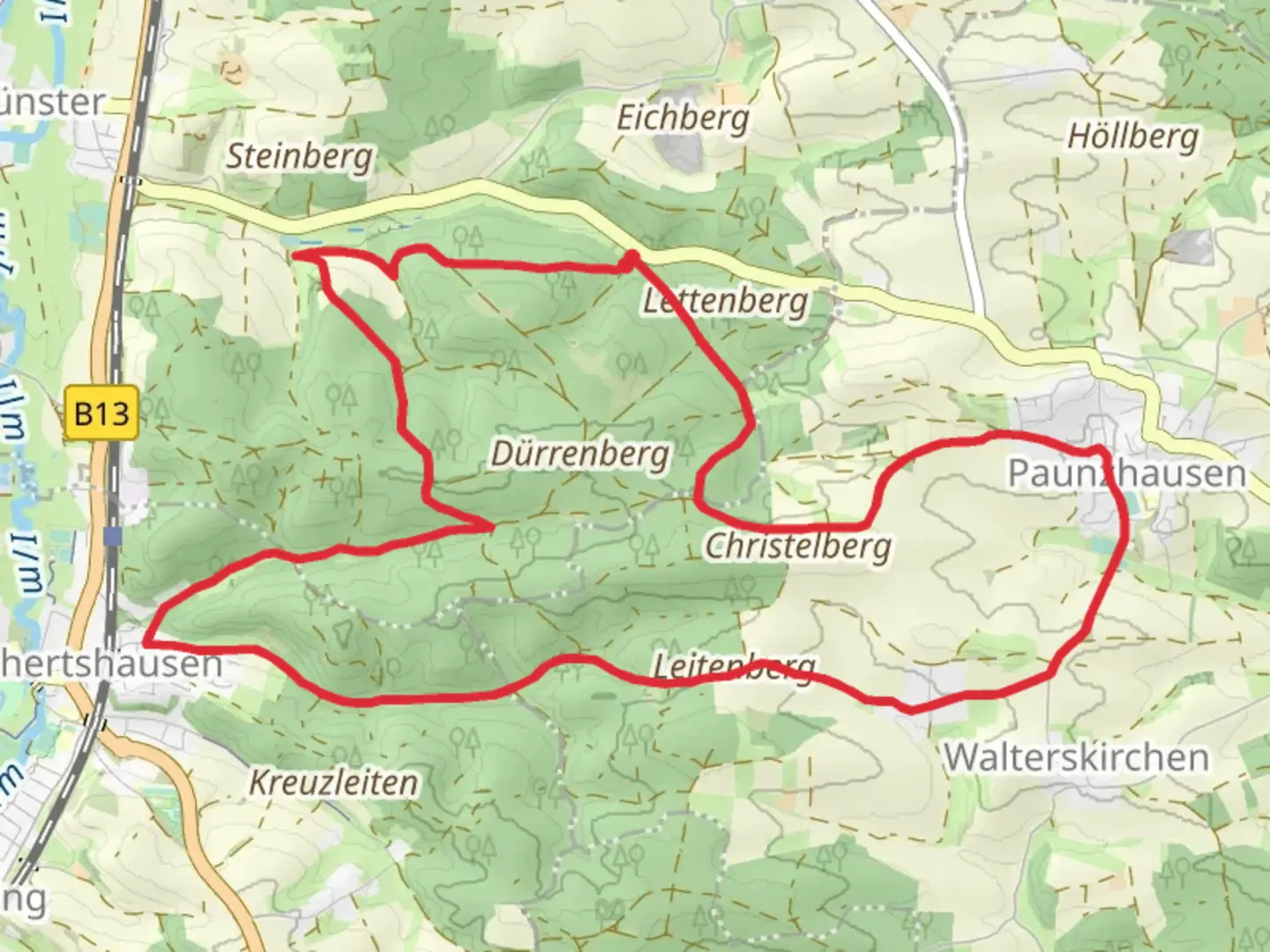
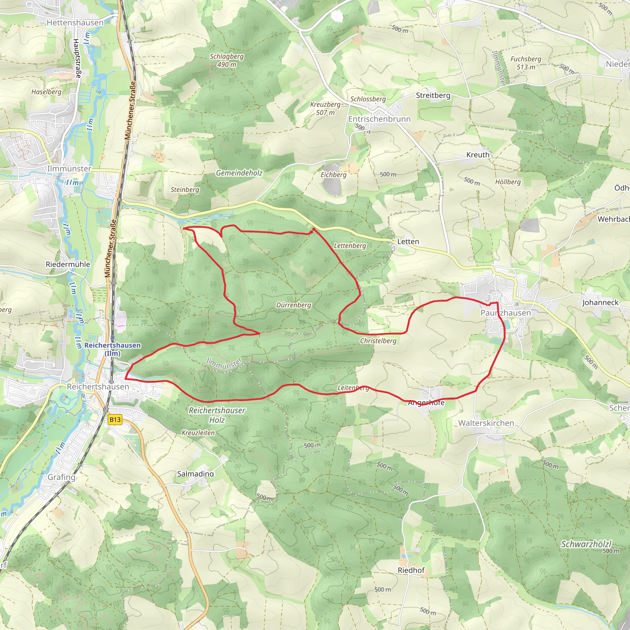
Starting near Pfaffenhofen an der Ilm, Germany, the Gemeinden Wege and Ilmmuensterer Wege trail is a delightful 12 km (7.5 miles) loop with an elevation gain of approximately 200 meters (656 feet). This medium-difficulty trail offers a rich blend of natural beauty, historical landmarks, and a serene hiking experience.
Getting There To reach the trailhead, you can either drive or use public transport. If driving, head towards Pfaffenhofen an der Ilm and look for parking near the town center. For those using public transport, take a train to Pfaffenhofen an der Ilm station, which is well-connected to major cities like Munich. From the station, it's a short walk to the trailhead.
Trail Overview The trail begins near the town center of Pfaffenhofen an der Ilm, a charming Bavarian town known for its picturesque streets and historical buildings. As you start your hike, you'll quickly find yourself immersed in the lush greenery of the Bavarian countryside.
Key Landmarks and Sections
#### Pfaffenhofen an der Ilm The trailhead is located near the town center, where you can explore historical landmarks such as the Town Hall and the Church of St. John the Baptist. These sites offer a glimpse into the region's rich history and architectural beauty.
#### Ilm River As you proceed, the trail will take you alongside the Ilm River. This section is particularly scenic, with the gentle flow of the river providing a calming backdrop. Keep an eye out for local wildlife, including various bird species and small mammals that inhabit the riverbanks.
#### Forested Areas Around the 4 km (2.5 miles) mark, you'll enter a dense forested area. The canopy of trees provides ample shade, making this section a pleasant respite during warmer months. The forest is home to a variety of flora and fauna, so take your time to appreciate the biodiversity.
#### Elevation Gain The trail features a gradual elevation gain of about 200 meters (656 feet). The ascent is spread out over several kilometers, making it manageable for most hikers. The highest point offers panoramic views of the surrounding countryside, a perfect spot for a rest and some photos.
#### Historical Sites Around the 8 km (5 miles) mark, you'll come across several historical sites, including old farmhouses and remnants of medieval structures. These landmarks offer a fascinating insight into the region's past and are well worth a brief detour.
Navigation and Safety For navigation, it's highly recommended to use the HiiKER app, which provides detailed maps and real-time updates. The trail is well-marked, but having a reliable navigation tool ensures you stay on track.
Flora and Fauna The trail is rich in biodiversity. In the spring and summer months, you'll find a variety of wildflowers in bloom. The forested sections are home to deer, foxes, and a multitude of bird species. Always carry a pair of binoculars if you're interested in birdwatching.
Final Stretch The last few kilometers bring you back towards Pfaffenhofen an der Ilm. This section is relatively flat and easy, allowing you to cool down as you approach the end of your hike.
Practical Tips - Wear sturdy hiking boots, as some sections can be uneven. - Carry enough water and snacks, especially if you plan to take breaks and explore the historical sites. - Check the weather forecast before you go, as the trail can be slippery after rain.
This trail offers a perfect blend of natural beauty, historical intrigue, and a moderate physical challenge, making it an excellent choice for a day hike.
Comments and Reviews
User comments, reviews and discussions about the Gemeinden Wege and Ilmmuensterer Wege, Germany.
5.0
average rating out of 5
1 rating(s)
