Vierseenblick, Weißensee Panorama Blick and Alatsee Loop via Maximiliansweg
Download
Preview
Add to list
More
5.9 km
~1 hrs 49 min
383 m
Loop
“Explore the captivating 6 km Vierseenblick loop in Ostallgäu, Germany, offering stunning views and historical intrigue.”
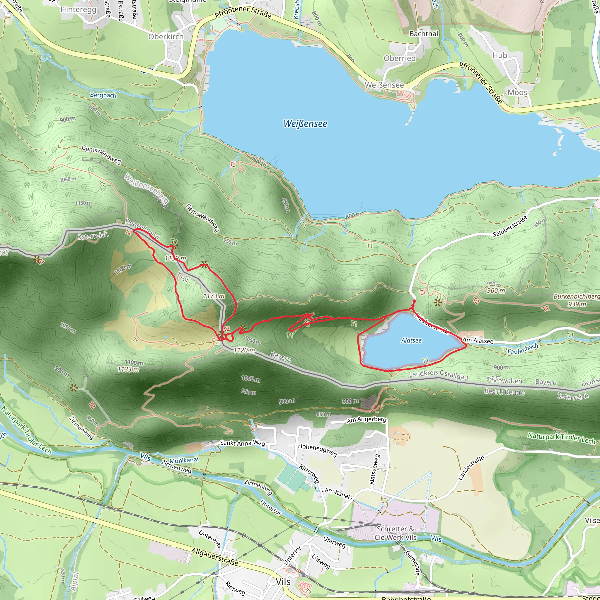
Starting near Ostallgäu, Germany, the Vierseenblick, Weißensee Panorama Blick, and Alatsee Loop via Maximiliansweg is a captivating 6 km (3.7 miles) loop trail with an elevation gain of approximately 300 meters (984 feet). This medium-difficulty hike offers a blend of natural beauty, historical significance, and panoramic views that make it a must-visit for outdoor enthusiasts.### Getting There To reach the trailhead, you can either drive or use public transport. If driving, set your GPS to Ostallgäu, Germany, and look for parking near the Weißensee area. For those using public transport, take a train to Füssen, which is the nearest major town. From Füssen, you can catch a local bus to Weißensee. The bus stop is conveniently located near the trailhead, making it easy to start your hike.### Trail Highlights
Vierseenblick
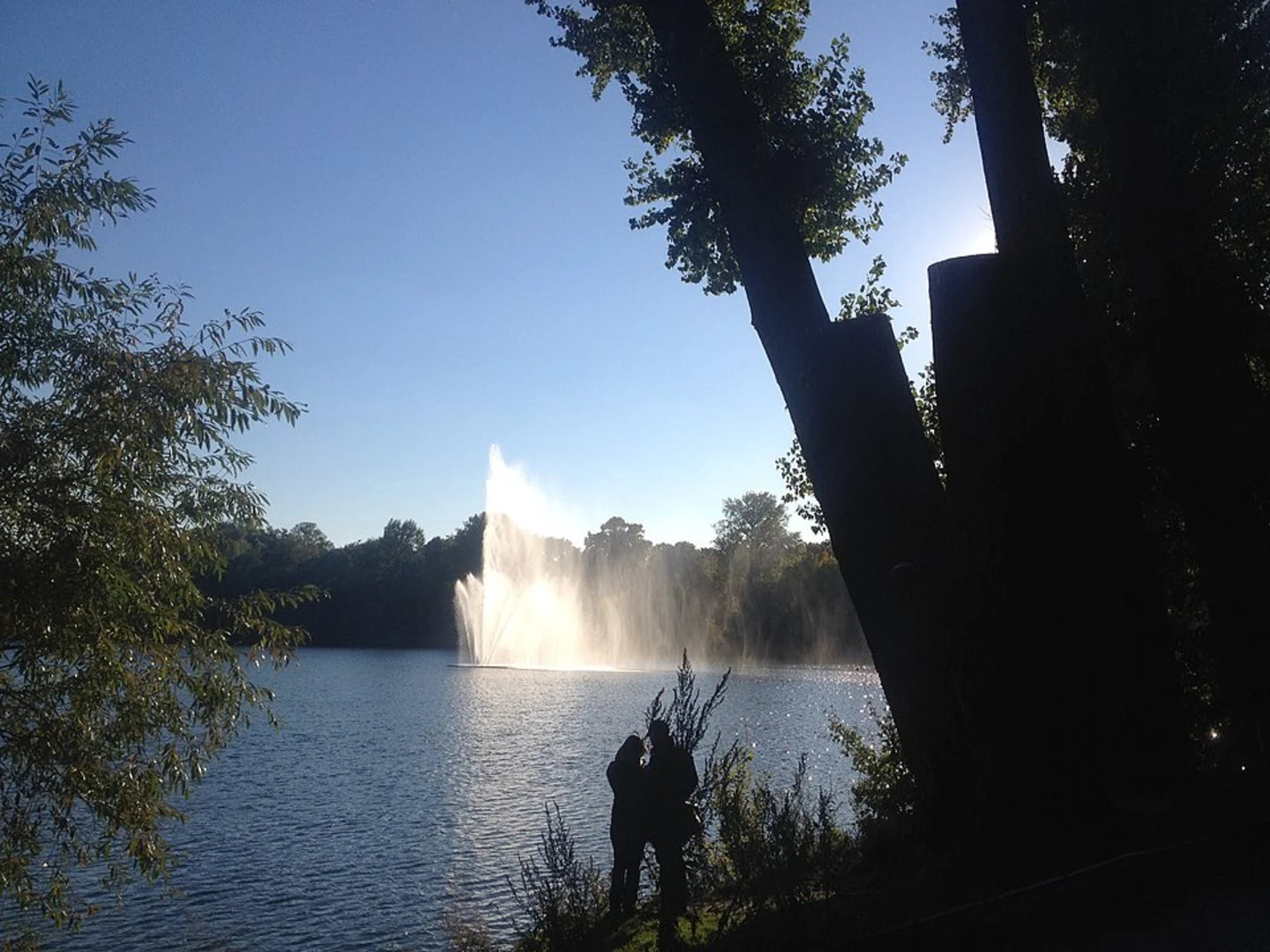
The trail begins with a gentle ascent through lush forests, leading you to the Vierseenblick viewpoint. This spot offers breathtaking views of four lakes: Weißensee, Alatsee, Hopfensee, and Forggensee. The viewpoint is approximately 2 km (1.2 miles) from the start and involves an elevation gain of about 150 meters (492 feet). Make sure to bring your camera, as the panoramic vistas are truly spectacular.#### Weißensee Panorama Blick Continuing along the trail, you'll reach the Weißensee Panorama Blick. This section of the hike provides sweeping views of the Weißensee lake, framed by the majestic Allgäu Alps. The trail here is well-marked and relatively flat, making it a great spot to take a break and soak in the scenery. This viewpoint is about 3.5 km (2.2 miles) into the hike.#### Alatsee Loop via Maximiliansweg The final section of the trail takes you around Alatsee via the historic Maximiliansweg. Alatsee is a small, picturesque lake known for its unique red algae, which can give the water a reddish hue under certain conditions. The loop around Alatsee is approximately 1.5 km (0.9 miles) and involves a gentle descent back to the trailhead. Along the way, you'll pass by several informational plaques detailing the history and ecology of the area.### Historical Significance The region around Ostallgäu is steeped in history. The Maximiliansweg, part of which you will hike, is named after King Maximilian II of Bavaria, who was known for his love of nature and hiking. The trail has been used for centuries and offers a glimpse into the historical routes taken by locals and royalty alike.### Nature and Wildlife The trail traverses a variety of ecosystems, from dense forests to open meadows and lakeshores. Keep an eye out for local wildlife, including deer, foxes, and a variety of bird species. The lakes themselves are home to fish and amphibians, making this hike a great opportunity for nature observation.### Navigation For navigation, it's highly recommended to use the HiiKER app, which provides detailed maps and real-time updates. The trail is well-marked, but having a reliable navigation tool can enhance your hiking experience and ensure you stay on the right path.### Preparation Given the medium difficulty rating, it's advisable to wear sturdy hiking boots and bring plenty of water and snacks. The trail can be muddy in sections, especially after rain, so be prepared for varying trail conditions. A lightweight rain jacket is also recommended, as weather in the Alps can change rapidly.This 6 km loop offers a perfect blend of natural beauty, historical intrigue, and moderate physical challenge, making it an ideal hike for those looking to explore the stunning landscapes of Ostallgäu, Germany.
What to expect?
Activity types
Comments and Reviews
User comments, reviews and discussions about the Vierseenblick, Weißensee Panorama Blick and Alatsee Loop via Maximiliansweg, Germany.
4.33
average rating out of 5
9 rating(s)
