Download
Preview
Add to list
More
11.6 km
~2 hrs 35 min
153 m
Loop
“Experience serene lakes, lush meadows, and historical landmarks on this picturesque 12 km loop in Ostallgäu, Germany.”
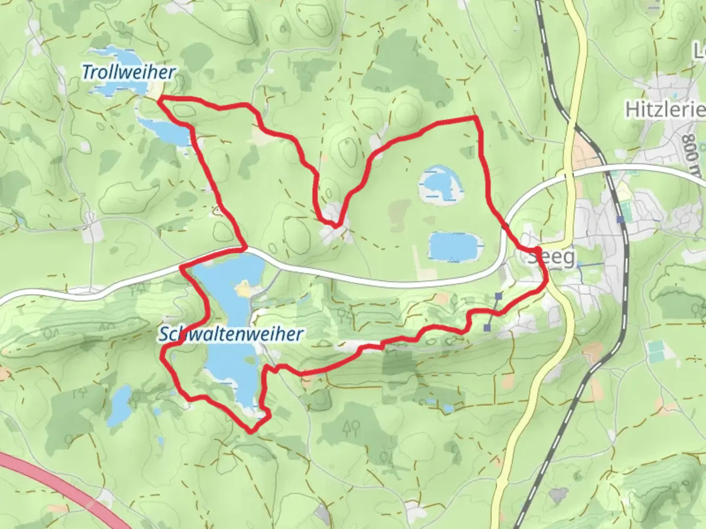
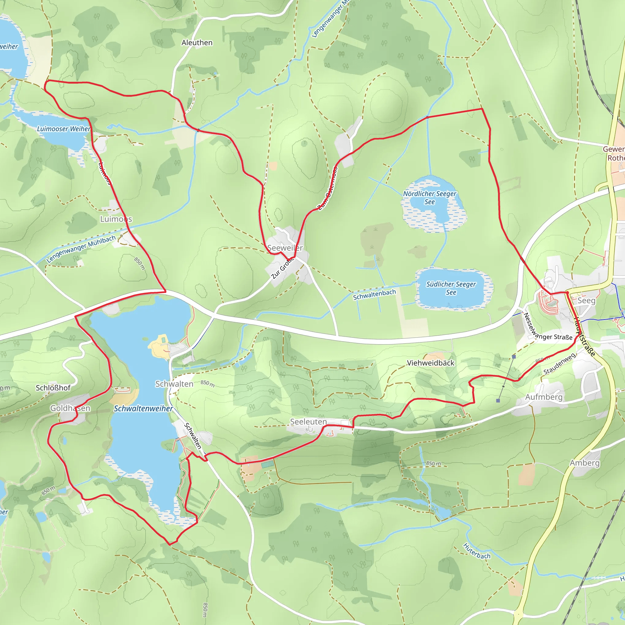
Starting near Ostallgäu, Germany, the Seeg, Luimooser Weiher, and Schwaltenweiher Loop is a picturesque 12 km (7.5 miles) trail with an elevation gain of approximately 100 meters (328 feet). This loop trail offers a moderate challenge, making it suitable for hikers with some experience. ### Getting There To reach the trailhead, you can drive or use public transport. If driving, set your GPS to Seeg, a charming village in the Ostallgäu district. For those using public transport, take a train to Seeg station, which is well-connected to major cities like Munich and Augsburg. From the station, the trailhead is a short walk away.### Trail Overview The loop begins near Seeg and takes you through a variety of landscapes, including serene lakes, lush meadows, and dense forests. The first section of the trail leads you to Luimooser Weiher, a tranquil lake surrounded by reeds and wildflowers. This is an excellent spot for birdwatching, so bring your binoculars.### Points of Interest
Luimooser Weiher
Approximately 3 km (1.9 miles) into the hike, you'll reach Luimooser Weiher. The lake is a haven for local wildlife, including ducks, swans, and various species of fish. The area around the lake is relatively flat, making it a good place to take a break and enjoy the scenery.#### Schwaltenweiher Continuing on, you'll head towards Schwaltenweiher, another beautiful lake located about 6 km (3.7 miles) from the start. This lake is slightly larger and offers stunning views of the surrounding mountains. There are several picnic spots here, so it's a great place to stop for lunch.### Historical Significance The region around Ostallgäu is rich in history. The trail passes near several historical landmarks, including old farmhouses and chapels that date back to the 18th century. These structures offer a glimpse into the rural life of the past and are worth a quick detour.### Navigation and Safety Given the moderate difficulty of the trail, it's advisable to use a reliable navigation tool like HiiKER to stay on track. The trail is well-marked, but having a digital map can be very helpful, especially in the forested sections where the path can become less obvious.### Flora and Fauna The trail is abundant with diverse flora and fauna. In the spring and summer months, you'll encounter a variety of wildflowers, including orchids and lilies. The forests are home to deer, foxes, and a variety of bird species. Keep an eye out for the rare black woodpecker, which is native to this region.### Final Stretch The last part of the loop takes you back towards Seeg, passing through open meadows and offering panoramic views of the Allgäu Alps. The gentle descent makes for a relaxing end to your hike, allowing you to soak in the natural beauty of the area.This trail offers a perfect blend of natural beauty, wildlife, and historical landmarks, making it a rewarding experience for any hiker.
What to expect?
Activity types
Comments and Reviews
User comments, reviews and discussions about the Seeg, Luimooser Weiher and Schwaltenweiher Loop, Germany.
4.6
average rating out of 5
5 rating(s)
