Download
Preview
Add to list
More
9.5 km
~2 hrs 37 min
427 m
Loop
“Explore the Russhaldeweg Tal and Ulmer Panoramaweg for a scenic, historical, and rewarding 10 km hike.”
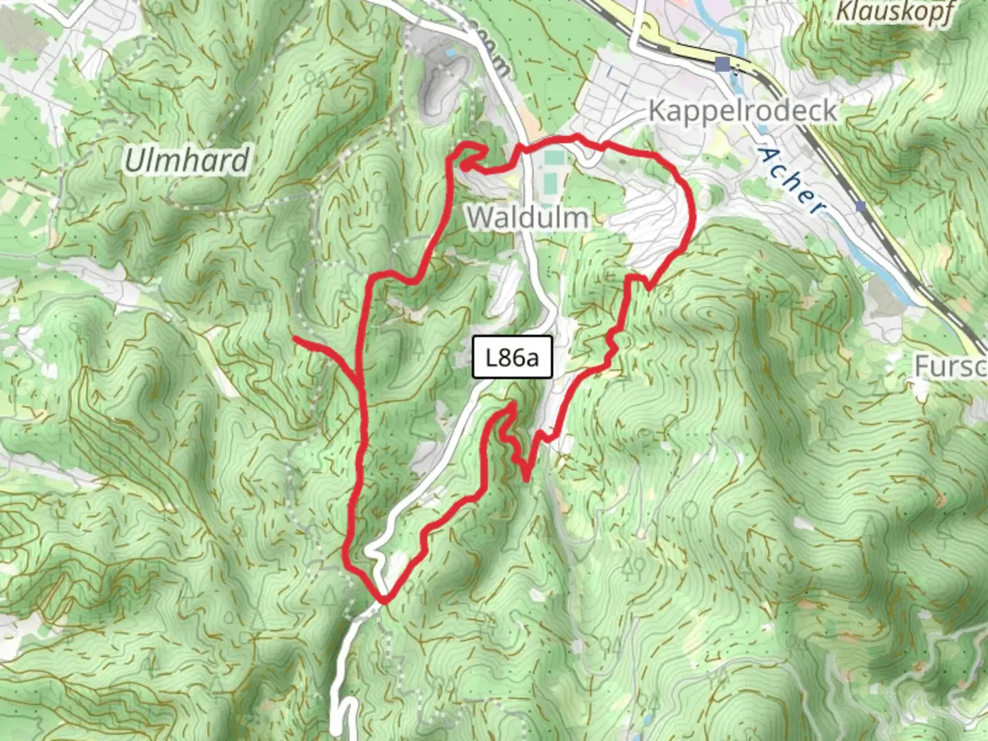
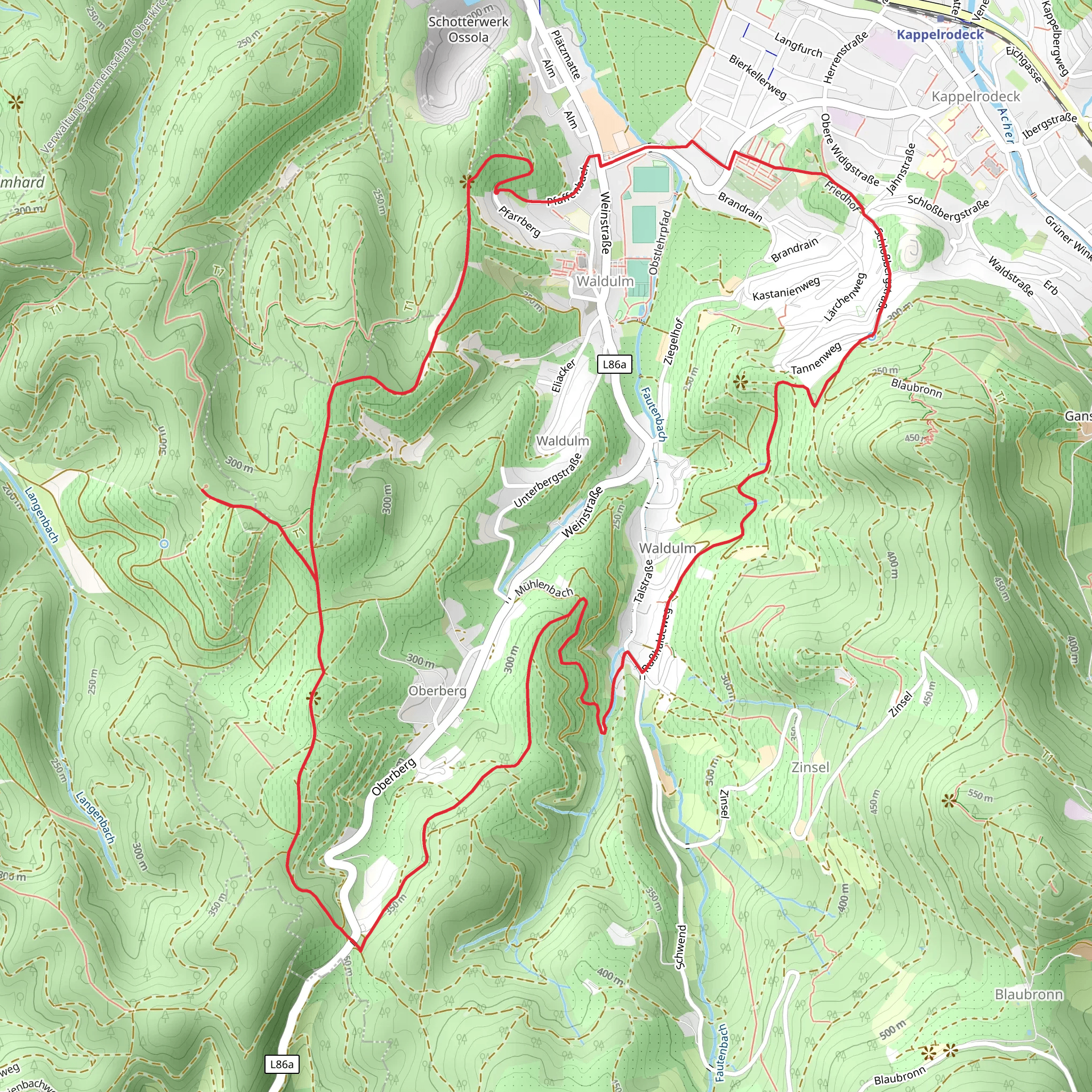
Starting near Ortenaukreis, Germany, the Russhaldeweg Tal and Ulmer Panoramaweg is a captivating loop trail that spans approximately 10 km (6.2 miles) with an elevation gain of around 400 meters (1,312 feet). This medium-difficulty trail offers a blend of natural beauty, historical landmarks, and panoramic views, making it a rewarding experience for hikers.
Getting There To reach the trailhead, you can either drive or use public transport. If driving, set your GPS to Ortenaukreis, Germany, and look for parking options near the trailhead. For those using public transport, take a train or bus to the nearest station in Ortenaukreis and then a local bus or taxi to the trailhead.
Trail Navigation For navigation, it's highly recommended to use HiiKER, which provides detailed maps and real-time updates to ensure you stay on track.
Trail Highlights
#### Initial Ascent The trail begins with a gentle ascent through dense forests, offering a serene start to your hike. As you climb, you'll notice the rich biodiversity, including various species of birds and small mammals. The first 2 km (1.2 miles) will take you through a mix of deciduous and coniferous trees, gradually increasing in elevation.
#### Historical Significance Around the 3 km (1.9 miles) mark, you'll come across remnants of ancient Roman settlements. This area is historically significant, as it was once a part of the Roman Empire's extensive network of roads and outposts. Take a moment to explore these ruins and imagine the lives of those who once inhabited this region.
#### Panoramic Views As you reach the halfway point, approximately 5 km (3.1 miles) into the hike, the trail opens up to offer stunning panoramic views of the Ulmer region. This section, known as the Ulmer Panoramaweg, provides breathtaking vistas of rolling hills, lush valleys, and distant mountain ranges. It's an ideal spot for a break and some photography.
#### Wildlife and Flora Continuing along the trail, you'll descend into the Russhaldeweg Tal, a valley rich in flora and fauna. Keep an eye out for deer, foxes, and a variety of bird species. The valley is particularly beautiful in spring and autumn, when wildflowers bloom and the foliage changes color.
#### Final Stretch The last 2 km (1.2 miles) of the trail loop back towards the starting point, taking you through more forested areas and past small streams. The descent is gradual, making for a pleasant end to your hike.
Preparation Tips - **Footwear:** Sturdy hiking boots are recommended due to uneven terrain and potential muddy sections. - **Weather:** Check the weather forecast before heading out, as conditions can change rapidly. - **Supplies:** Bring enough water and snacks, as there are no facilities along the trail. - **Clothing:** Dress in layers to accommodate changing temperatures, especially if hiking in the early morning or late afternoon.
By following these guidelines and using HiiKER for navigation, you'll be well-prepared to enjoy the Russhaldeweg Tal and Ulmer Panoramaweg trail.
Comments and Reviews
User comments, reviews and discussions about the Russhaldeweg Tal and Ulmer Panoramaweg, Germany.
4.25
average rating out of 5
8 rating(s)
