Download
Preview
Add to list
More
4.8 km
~1 hrs 10 min
126 m
Loop
“Explore the scenic Mooswald Loop in Germany, blending forest beauty, history, and moderate hiking challenge.”
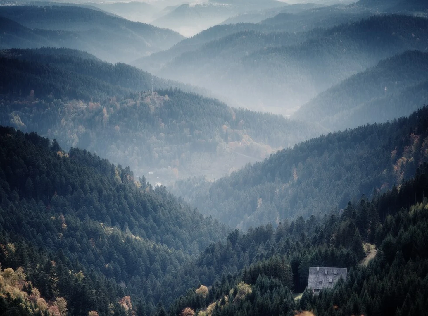
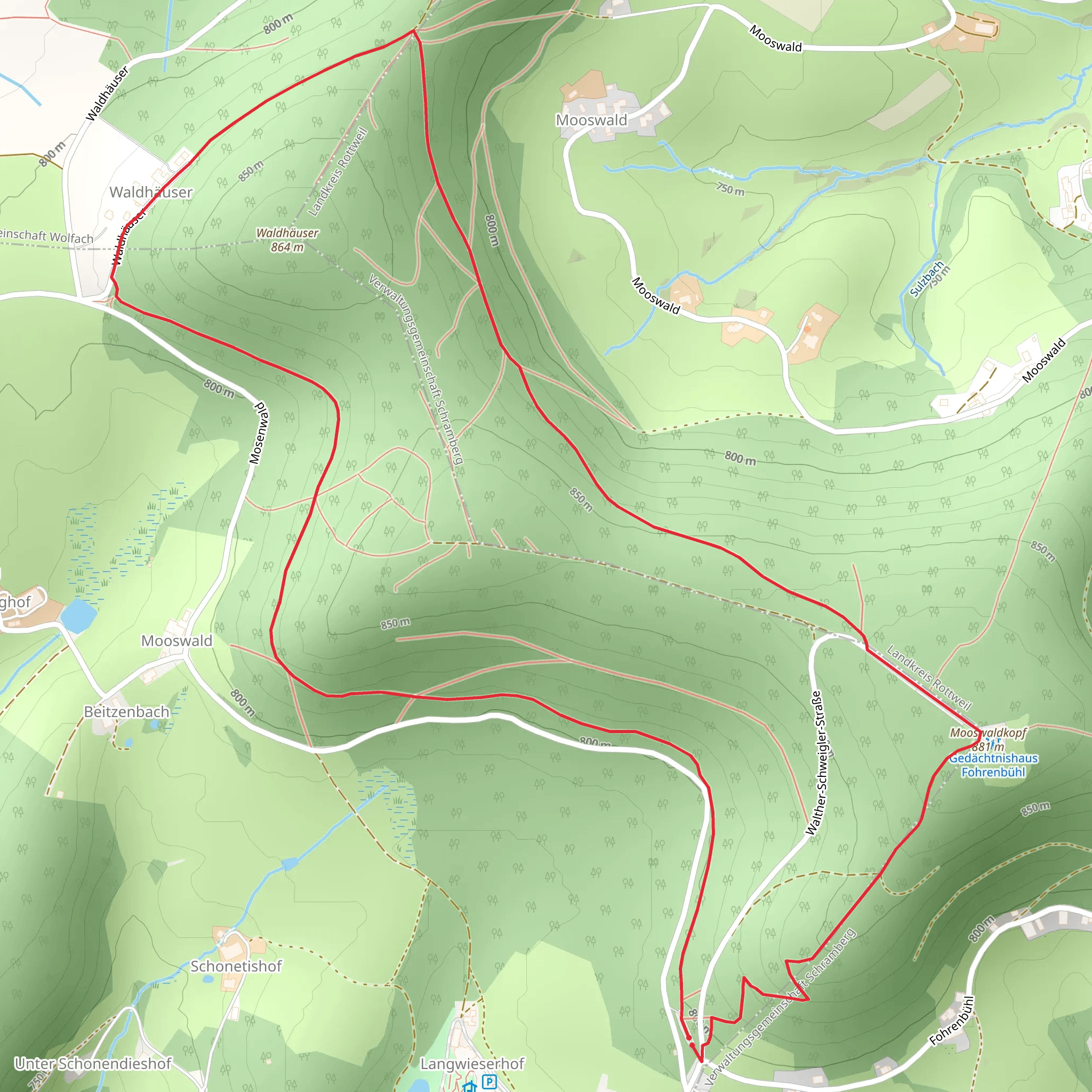
Starting near Ortenaukreis, Germany, the Mooswald, Waldhauser and Mooswaldkopf Loop is a delightful 5 km (3.1 miles) trail with an elevation gain of approximately 100 meters (328 feet). This loop trail is rated as medium difficulty, making it suitable for hikers with some experience.### Getting There To reach the trailhead, you can drive or use public transport. If driving, set your GPS to the nearest known address: Ortenaukreis, Germany. For those using public transport, the nearest significant landmark is the town of Offenburg. From Offenburg, you can take a local bus or taxi to the trailhead.### Trail Overview The trail begins with a gentle ascent through the Mooswald forest, a serene area known for its dense canopy and rich biodiversity. As you hike, you'll notice the forest floor is often carpeted with moss, giving the area its name. The initial 1 km (0.6 miles) of the trail gains about 30 meters (98 feet) in elevation, making for a pleasant warm-up.### Key Landmarks and Nature At around the 2 km (1.2 miles) mark, you'll reach the Waldhauser section. This area is notable for its historical significance; it was once a small settlement dating back to the medieval period. Although the original structures are long gone, you can still find remnants of old stone foundations and informational plaques detailing the history of the area.Continuing on, the trail leads you to the Mooswaldkopf, the highest point of the loop. This section offers a moderate climb, gaining another 50 meters (164 feet) over the next 1.5 km (0.9 miles). From the summit, you'll be rewarded with panoramic views of the surrounding Black Forest region. On clear days, you can even see the distant Vosges Mountains in France.### Wildlife and Flora The Mooswaldkopf area is a haven for wildlife. Keep an eye out for deer, foxes, and a variety of bird species. The forest is also home to several types of fungi and wildflowers, particularly in the spring and early summer months.### Navigation and Safety The trail is well-marked, but it's always a good idea to have a reliable navigation tool. HiiKER is an excellent app for this purpose, providing detailed maps and real-time location tracking. Make sure to wear sturdy hiking boots, as some sections can be slippery, especially after rain.### Final Stretch The descent from Mooswaldkopf is gradual, taking you through a series of switchbacks that lead back into the dense forest. The final 1.5 km (0.9 miles) of the trail is relatively flat, allowing you to cool down as you make your way back to the trailhead.This loop trail offers a perfect blend of natural beauty, historical intrigue, and moderate physical challenge, making it a rewarding experience for any hiker.
What to expect?
Activity types
Comments and Reviews
User comments, reviews and discussions about the Mooswald, Waldhauser and Mooswaldkopf Loop, Germany.
4.0
average rating out of 5
2 rating(s)

