Download
Preview
Add to list
More
9.7 km
~3 hrs 13 min
768 m
Loop
“Explore the captivating 10 km Kutschenkopf and Engelskanzel Loop for stunning views and rich history.”
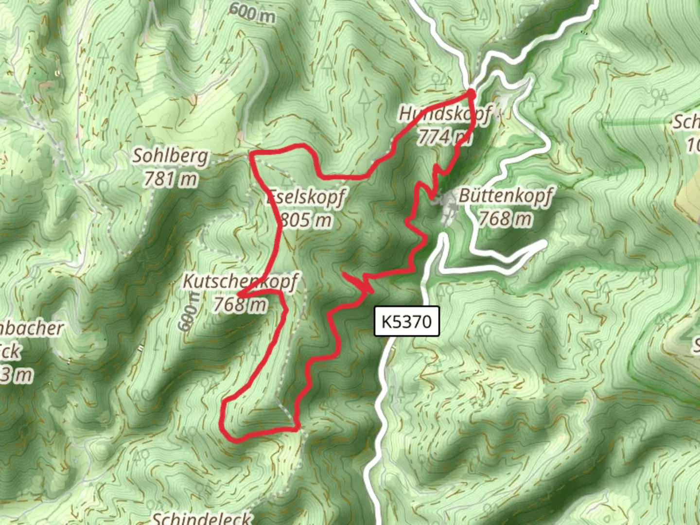
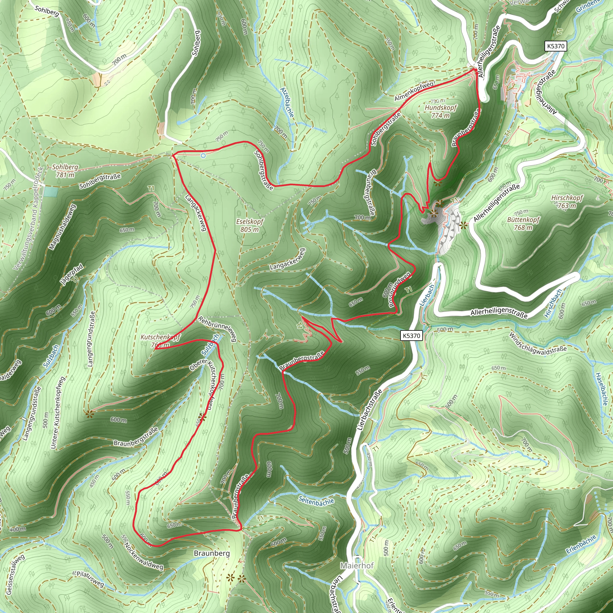
Starting near Ortenaukreis, Germany, the Kutschenkopf and Engelskanzel Loop is a captivating 10 km (6.2 miles) trail with an elevation gain of approximately 700 meters (2,297 feet). This loop trail is rated as medium difficulty, making it suitable for moderately experienced hikers.### Getting There To reach the trailhead, you can drive or use public transport. If driving, set your GPS to Ortenaukreis, Germany, and look for parking near the trailhead. For public transport, take a train to Offenburg, then a local bus towards Ortenaukreis. The nearest significant landmark to the trailhead is the town of Gengenbach, known for its picturesque half-timbered houses and historic charm.### Trail Overview The trail begins with a gentle ascent through dense forest, offering a serene start to your hike. As you progress, the path becomes steeper, leading you to the first significant landmark, the Kutschenkopf. This section covers about 3 km (1.86 miles) and gains roughly 300 meters (984 feet) in elevation. The Kutschenkopf offers panoramic views of the surrounding Black Forest, making it a perfect spot for a short break and some photography.### Historical Significance The region around Ortenaukreis has a rich history dating back to Roman times. The Black Forest itself has been a source of myths and legends, often depicted in German folklore. As you hike, you might come across remnants of old fortifications and ancient paths that have been used for centuries.### Wildlife and Nature The trail is abundant with diverse flora and fauna. Keep an eye out for deer, wild boar, and various bird species. The forest is primarily composed of fir, spruce, and beech trees, providing a lush canopy that changes colors with the seasons. In spring and summer, wildflowers add vibrant splashes of color to the landscape.### Engelskanzel Around the 6 km (3.73 miles) mark, you'll reach Engelskanzel, another highlight of the trail. This rocky outcrop offers stunning views and is a great spot for a picnic. The elevation gain to this point is about 400 meters (1,312 feet) from the start. The name "Engelskanzel" translates to "Angel's Pulpit," and standing here, you can see why—it's a heavenly vantage point.### Navigation To ensure you stay on track, use the HiiKER app for real-time navigation and trail updates. The trail is well-marked, but having a reliable navigation tool can enhance your hiking experience and provide peace of mind.### Final Stretch The final 4 km (2.48 miles) of the loop take you through a mix of forested areas and open meadows, gradually descending back to the trailhead. This section is less strenuous, allowing you to enjoy the natural beauty and reflect on the hike. The total elevation gain for the entire loop is around 700 meters (2,297 feet), making it a rewarding yet manageable hike.### Practical Tips - Wear sturdy hiking boots, as some sections can be rocky and uneven. - Bring plenty of water and snacks, especially if you plan to picnic at Engelskanzel. - Check the weather forecast before heading out, as conditions can change rapidly in the Black Forest. - Use the HiiKER app for navigation and to stay updated on any trail conditions or closures.This trail offers a perfect blend of natural beauty, historical intrigue, and moderate physical challenge, making it a must-visit for any hiking enthusiast exploring the Black Forest region.
What to expect?
Activity types
Comments and Reviews
User comments, reviews and discussions about the Kutschenkopf and Engelskanzel Loop, Germany.
4.0
average rating out of 5
4 rating(s)
