Download
Preview
Add to list
More
10.4 km
~2 hrs 47 min
428 m
Out and Back
“Explore a 10 km trail with rich history, scenic views, and a moderate challenge near Oberbergischer Kreis.”
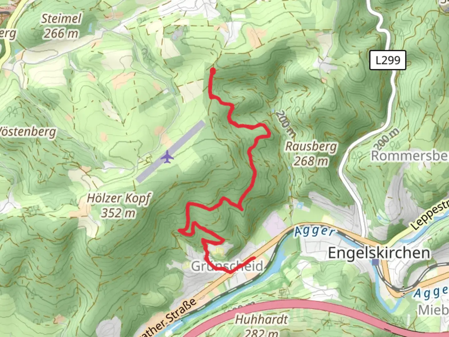
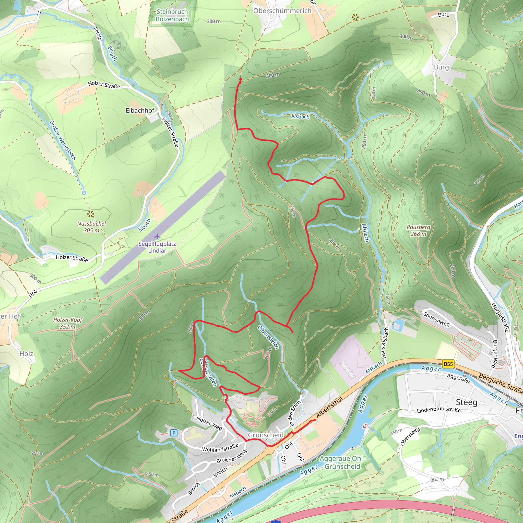
Starting near Oberbergischer Kreis in Germany, this 10 km (approximately 6.2 miles) out-and-back trail offers a moderate challenge with an elevation gain of around 400 meters (about 1,312 feet). The trailhead is conveniently accessible by both car and public transport. If you're driving, you can park near the town of Wipperfürth, which is the nearest significant landmark. For those using public transport, buses from Cologne or Wuppertal can take you to Wipperfürth, from where a short taxi ride or local bus will get you to the trailhead.### Initial Ascent and Forested Pathways The trail begins with a gentle ascent through a mixed forest, where you'll be surrounded by towering beech and oak trees. This initial section is relatively easy, making it a good warm-up for the more challenging parts ahead. As you hike, keep an eye out for local wildlife such as deer and various bird species, including woodpeckers and owls. The forest floor is often carpeted with wildflowers in the spring, adding a splash of color to your journey.### Midway Point and Scenic Views At around the 5 km (3.1 miles) mark, you'll reach a clearing that offers panoramic views of the surrounding Oberbergischer countryside. This is a great spot to take a break, hydrate, and enjoy a snack while soaking in the scenery. The elevation gain to this point is about 200 meters (656 feet), making it a moderate climb. The landscape here is dotted with traditional German farmhouses and rolling hills, providing a picturesque backdrop for your hike.### Historical Significance The region around Oberbergischer Kreis has a rich history dating back to medieval times. As you continue your hike, you'll pass by remnants of old stone walls and possibly even some ancient ruins. These are vestiges of the area's past, when it was a hub for agriculture and small-scale mining. The trail itself has been used for centuries, initially serving as a route for local farmers and traders.### Final Ascent to Grunscheid The last stretch of the trail involves a steeper ascent, gaining another 200 meters (656 feet) in elevation over the next 2.5 km (1.55 miles). This section can be more challenging, with rocky terrain and occasional switchbacks. Proper hiking boots and trekking poles are recommended for this part of the hike. As you approach Grunscheid, the forest opens up to reveal more expansive views and a different type of flora, including pine and spruce trees.### Navigation and Safety For navigation, it's highly recommended to use the HiiKER app, which provides detailed maps and real-time updates. The trail is well-marked, but having a reliable navigation tool can help you stay on track and avoid any potential detours. Always check the weather forecast before you set out, as conditions can change rapidly, especially at higher elevations.### Return Journey Once you reach Grunscheid, take some time to explore the area before heading back the way you came. The return journey offers a different perspective and allows you to appreciate the trail from a new angle. The descent is generally easier, but still requires caution, especially on the steeper sections.This trail offers a blend of natural beauty, historical intrigue, and moderate physical challenge, making it a rewarding experience for hikers of all levels.
What to expect?
Activity types
Comments and Reviews
User comments, reviews and discussions about the Oberschuemmerich to Grunscheid, Germany.
5.0
average rating out of 5
1 rating(s)
