Download
Preview
Add to list
More
11.5 km
~2 hrs 35 min
170 m
Loop
“The Neyetalsperre Loop offers a scenic, moderately challenging 12 km hike through lush German countryside.”
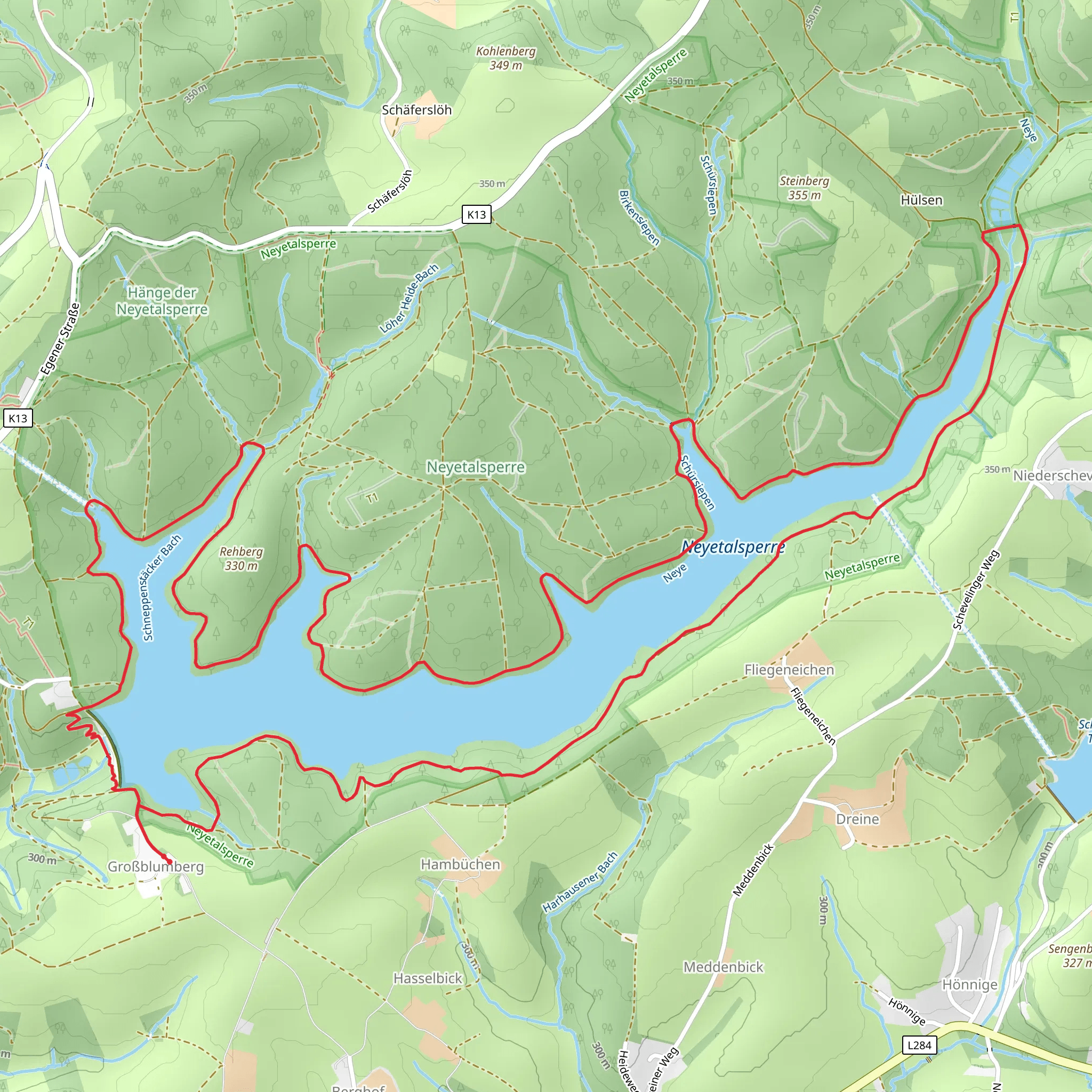
Starting near the picturesque town of Oberbergischer Kreis in Germany, the Neyetalsperre Loop is a delightful 12 km (7.5 miles) trail that offers a moderate challenge with an elevation gain of around 100 meters (328 feet). This loop trail is perfect for those looking to immerse themselves in the serene beauty of the German countryside while enjoying a well-marked path.
Getting There To reach the trailhead, you can either drive or use public transport. If driving, set your GPS to Oberbergischer Kreis, and look for parking near the Neyetalsperre reservoir. For those using public transport, take a train to Gummersbach station, and from there, a local bus will take you to the vicinity of the trailhead. The nearest significant landmark is the Neyetalsperre dam, which is easily recognizable and serves as a good starting point.
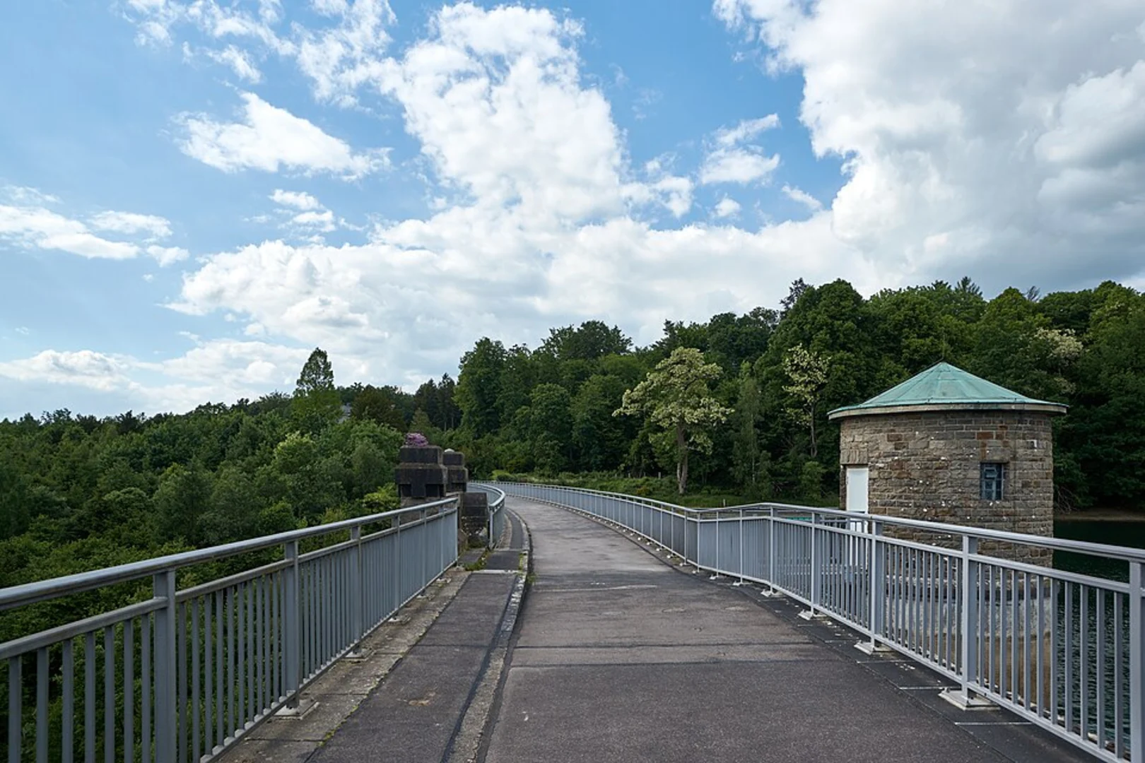
Trail Highlights The Neyetalsperre Loop begins near the Neyetalsperre dam, a significant landmark in the area. This dam, constructed in the early 20th century, plays a crucial role in water management and flood control for the region. As you start your hike, you'll be greeted by the tranquil waters of the reservoir, reflecting the lush greenery that surrounds it.
#### Flora and Fauna The trail meanders through dense forests and open meadows, offering a diverse range of flora and fauna. Keep an eye out for native wildlife such as deer, foxes, and a variety of bird species. The forested sections are rich with oak, beech, and pine trees, providing ample shade and a cool respite during warmer months.
#### Scenic Views and Rest Points Approximately 4 km (2.5 miles) into the hike, you'll reach a scenic viewpoint that offers panoramic views of the reservoir and the surrounding hills. This is an excellent spot to take a break, enjoy a snack, and soak in the natural beauty. The elevation gain is gradual, making it accessible for most hikers, but be prepared for a few steeper sections that will get your heart rate up.
Navigation and Safety The trail is well-marked with signs and markers, but it's always a good idea to have a reliable navigation tool. HiiKER is an excellent app for this purpose, providing detailed maps and real-time location tracking to ensure you stay on the right path. The trail can be muddy and slippery after rain, so sturdy hiking boots with good grip are recommended.
Historical Significance The region around Oberbergischer Kreis has a rich history, with the Neyetalsperre dam being a testament to early 20th-century engineering. The dam was built to control flooding and provide a reliable water supply, and it remains a vital part of the local infrastructure. As you hike, you'll come across several informational plaques that provide insights into the history and significance of the dam and the surrounding area.
Final Stretch As you near the end of the loop, the trail will bring you back to the starting point near the dam. This final section is relatively flat and offers a peaceful walk along the water's edge, giving you a chance to reflect on the journey and enjoy the serene environment one last time.
The Neyetalsperre Loop is a rewarding hike that combines natural beauty, historical significance, and a moderate physical challenge, making it a must-visit for any hiking enthusiast exploring the Oberbergischer Kreis region.
What to expect?
Activity types
Comments and Reviews
User comments, reviews and discussions about the Neyetalsperre Loop, Germany.
4.56
average rating out of 5
9 rating(s)

