Download
Preview
Add to list
More
9.5 km
~3 hrs 7 min
740 m
Point-to-Point
“Experience the Bavarian Alps' stunning landscapes, rich history, and diverse wildlife on this rewarding hike.”
Starting your hike near Oberallgäu, Germany, this trail offers a delightful journey through the picturesque landscapes of the Bavarian Alps. The trailhead is conveniently accessible by public transport or car. If you're taking public transport, you can catch a train to Oberstdorf and then a local bus to the starting point. For those driving, there are parking facilities available near the trailhead.
Initial Ascent and Terrain
The trail begins with a moderate ascent, gaining approximately 700 meters (2,300 feet) in elevation over the course of the hike. The initial section is a mix of well-maintained paths and forest trails, providing a gentle introduction to the hike. As you ascend, you'll pass through dense woodlands, where the air is filled with the scent of pine and the sounds of local wildlife.
Key Landmarks and Scenic Views
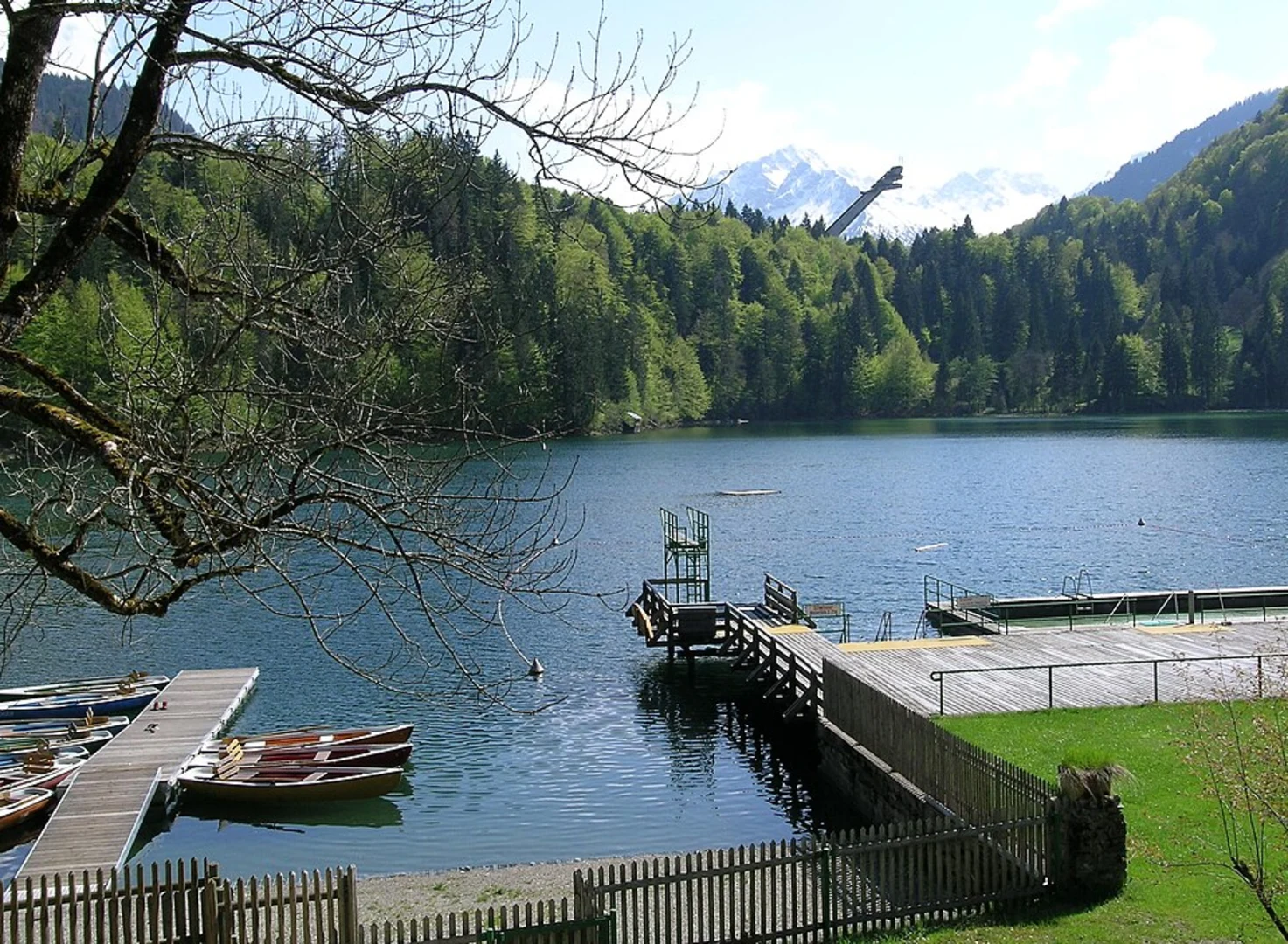
Around the 3 km (1.9 miles) mark, you'll reach a clearing that offers stunning panoramic views of the surrounding mountains. This is a great spot to take a break and soak in the scenery. Continuing on, you'll encounter several small streams and waterfalls, which are particularly beautiful in the spring and early summer when the snowmelt is at its peak.
Flora and Fauna
The trail is rich in biodiversity. Keep an eye out for native wildlife such as deer, foxes, and a variety of bird species. The flora is equally impressive, with alpine flowers dotting the landscape, especially during the warmer months. The trail also passes through several meadows, which are often filled with colorful wildflowers.
Historical Significance
This region has a rich history dating back to medieval times. The trail itself follows part of the Oberallgäuer Rundwanderweg, a historic route that has been used for centuries by traders and pilgrims. Along the way, you'll come across old stone markers and remnants of ancient pathways, offering a glimpse into the past.
Navigation and Safety
Given the moderate difficulty rating, this trail is suitable for hikers with a reasonable level of fitness. However, it's always wise to be prepared. Make sure to bring a map and compass, or better yet, use the HiiKER app for real-time navigation and updates. Weather conditions can change rapidly in the mountains, so pack appropriate clothing and gear.
Final Stretch to Berghaus
As you approach the final stretch of the hike, the trail levels out, offering a more relaxed walk towards Berghaus. This section is characterized by open landscapes and expansive views, making it a perfect end to your journey. Upon reaching Berghaus, you'll find several options for refreshments and rest, allowing you to relax and reflect on your hike.
This trail offers a perfect blend of natural beauty, historical intrigue, and moderate physical challenge, making it a rewarding experience for any hiker.

Comments and Reviews
User comments, reviews and discussions about the Oberstdorf to Berghaus via Oberallgaeuer Rundwanderweg, Germany.
4.33
average rating out of 5
3 rating(s)