Download
Preview
Add to list
More
4.6 km
~1 hrs 22 min
271 m
Out and Back
“Explore the dramatic Breitachklamm gorge and serene River Breitach on a moderately challenging 5 km trail.”
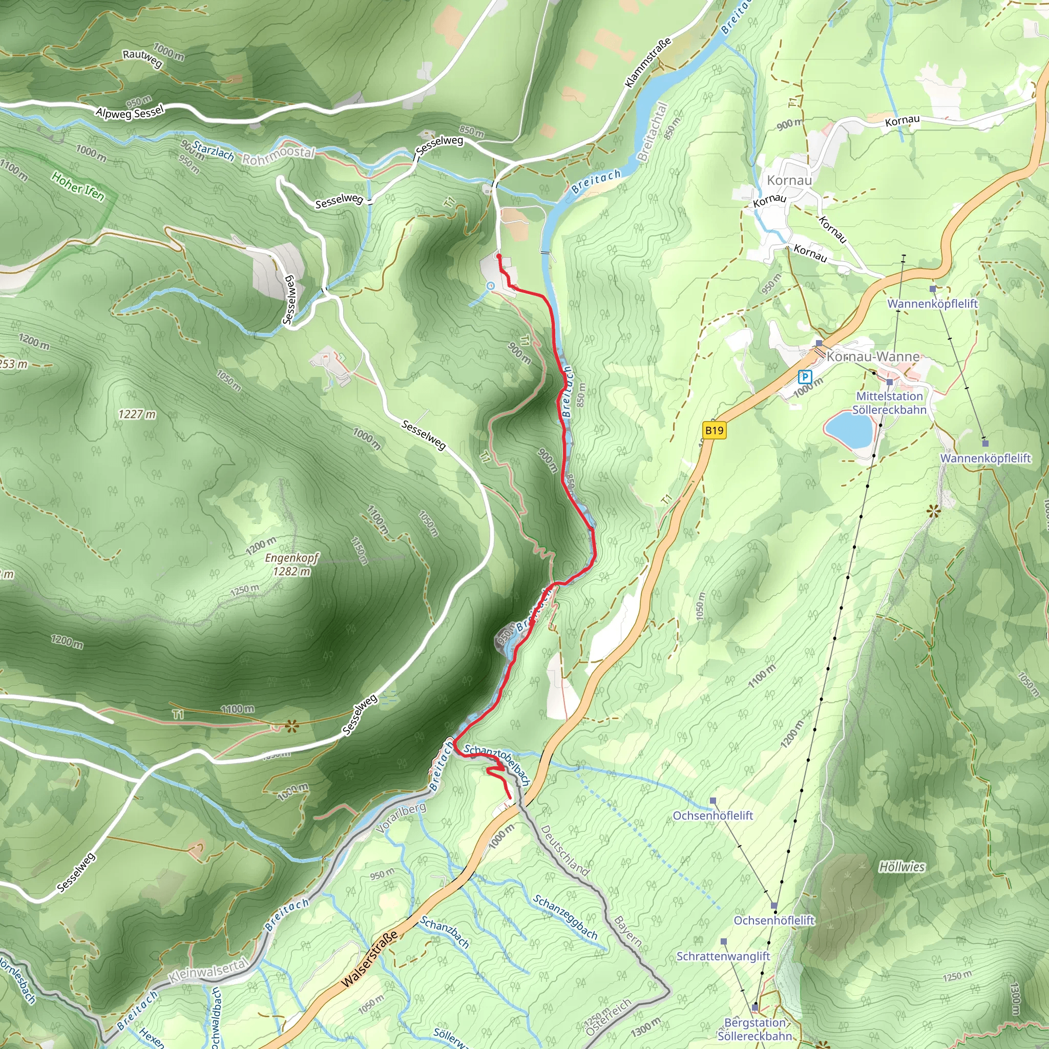
Starting near Oberallgäu, Germany, the Breitachklamm Kasse 2 and River Breitach Walk is a captivating 5 km (3.1 miles) out-and-back trail with an elevation gain of approximately 200 meters (656 feet). This trail offers a medium difficulty rating, making it suitable for moderately experienced hikers.
Getting There To reach the trailhead, you can either drive or use public transport. If driving, head towards the town of Oberstdorf, which is well-signposted from major highways. From Oberstdorf, follow signs to Tiefenbach, where you will find parking facilities near the entrance to the Breitachklamm gorge. For those using public transport, take a train to Oberstdorf station. From there, local buses run regularly to Tiefenbach, with the nearest bus stop being "Tiefenbach, Breitachklamm."
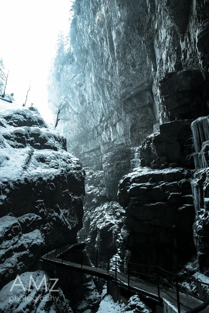
Trail Overview The trail begins at the entrance to the Breitachklamm gorge, a natural wonder formed by the Breitach River. The gorge is one of the deepest and most impressive in Central Europe, with towering rock walls and cascading waterfalls. As you start your hike, you'll immediately be immersed in the dramatic scenery of the gorge, with the sound of rushing water accompanying you.
Key Landmarks and Sections #### Breitachklamm Gorge The first section of the trail takes you through the Breitachklamm gorge itself. This part of the hike is characterized by narrow pathways and wooden bridges that offer stunning views of the gorge's rock formations and waterfalls. The gorge is particularly spectacular after heavy rainfall, when the water flow is at its peak.
#### River Breitach After exiting the gorge, the trail follows the River Breitach. This section is more open and less rugged, offering a peaceful contrast to the dramatic scenery of the gorge. The riverbanks are lined with lush vegetation, and you may spot local wildlife such as deer, foxes, and a variety of bird species. This part of the trail is relatively flat, making it a good opportunity to catch your breath and enjoy the serene environment.
Historical Significance The Breitachklamm gorge has a rich history dating back to the Ice Age. The gorge was formed by glacial meltwater carving its way through the limestone rock. In the early 20th century, local residents recognized the gorge's potential as a tourist attraction and constructed pathways to make it accessible to visitors. Today, it remains a popular destination for nature lovers and history enthusiasts alike.
Navigation and Safety Given the trail's medium difficulty rating, it's advisable to use a reliable navigation tool like HiiKER to stay on track. The pathways through the gorge can be narrow and slippery, especially after rain, so sturdy hiking boots with good grip are essential. Additionally, the trail can be quite busy during peak tourist seasons, so plan your visit accordingly to avoid the crowds.
Final Stretch The return journey follows the same path back to the trailhead, allowing you to experience the gorge and river from a different perspective. Take your time to appreciate the natural beauty and perhaps capture some photographs to remember your hike.
This trail offers a unique blend of dramatic landscapes, serene river views, and historical significance, making it a must-visit for any hiking enthusiast exploring the Oberallgäu region.
What to expect?
Activity types
Comments and Reviews
User comments, reviews and discussions about the Breitachklamm Kasse 2 and River Breitach Walk, Germany.
4.33
average rating out of 5
3 rating(s)

